Tenleytown in Northwest Washington in Washington, District of Columbia — The American Northeast (Mid-Atlantic)
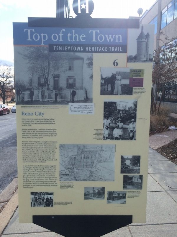
Reno City
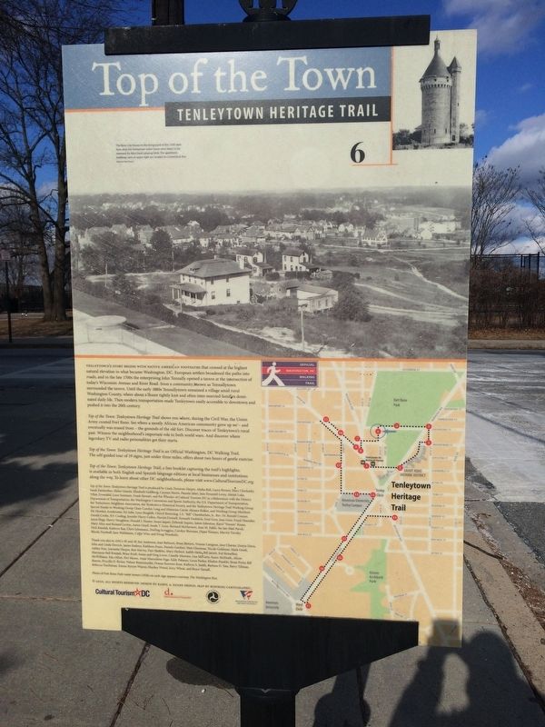
Top of the Town
— Tenleytown Heritage Trail —
Before the Civil War (1861-65), the land behind you was part of the 72-acre farm of Giles Dyer. As a Southerner, Dyer depended on enslaved people to work his fields.
Because of its elevation, Dyers land was taken by the Union Army in 1861 for a fort and observation post. After the war, the Dyer family recovered the property, then sold it to developers. Soon "Reno City" lots sold for $25 with a $5 down payment.
Frederick "Fritz" Bangerter, a young Swiss immigrant, bought several lots to establish a dairy farm, raise a family, and build houses to rent. African Americans who had sought safety and work at Fort Reno during the Civil War also bought lots or rented Reno City houses, as did other white and black families. Many worked nearby as laborers and domestics. By 1900 Reno City was 75 percent African American with three black churches, a black Masonic lodge, and a black school among its 100 buildings. Generally black and white families lived side by side.
In 1902 the U.S. Senate Park Commission suggested preserving the city's historic ring of Civil War forts, including Reno, as parks. The plan was shelved, but as land around Reno filled in with new housing for whites, federal planners again eyed Reno City as a good spot to create a park, schools, and reservoirs. Doing so would also satisfy those desiring to remove the aging, racially mixed enclave. Thus, between 1928 and the early 1950s, the federal government bought or condemned Reno City houses and razed them, dispersing the 80-year-old community and its businesses and institutions.
Erected 2010 by Cultural Tourism DC. (Marker Number 6.)
Topics and series. This historical marker is listed in these topic lists: African Americans • Architecture • Charity & Public Work • War, US Civil. In addition, it is included in the Defenses of Washington, and the Tenleytown Heritage Trail series lists. A significant historical year for this entry is 1861.
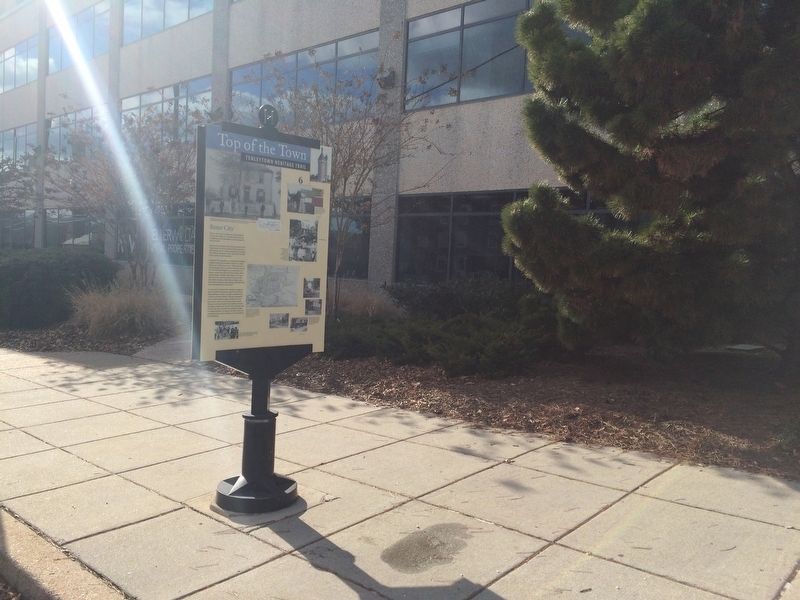
Location. 38° 57.037′ N, 77° 4.731′ W. Marker is in Northwest Washington in Washington, District of Columbia. It is in Tenleytown. Marker is at the intersection of 40th Street Northwest and Chesapeake Street Northwest, on the right when traveling south on 40th Street Northwest. Touch for map. Marker is at or near this postal address: 4646 40th Street Northwest, Washington DC 20016, United States of America. Touch for directions.
Other nearby markers. At least 8 other markers are within walking distance of this marker. The Civil War Defenses of Washington (about 400 feet away, measured in a direct line); Reservoir / Reno City (about 400 feet away); Fort Reno (about 400 feet away); a different marker also named Fort Reno (about 500 feet away); Luis Alves De Lima E Silva
Credits. This page was last revised on January 30, 2023. It was originally submitted on January 1, 2018, by Devry Becker Jones of Washington, District of Columbia. This page has been viewed 331 times since then and 20 times this year. Last updated on March 8, 2019, by Devry Becker Jones of Washington, District of Columbia. Photos: 1, 2, 3. submitted on January 1, 2018, by Devry Becker Jones of Washington, District of Columbia.


