Mérida, Yucatán, Mexico — The Southeast (Yucatan Peninsula)
Neighborhood of La Mejorada
Inscription.
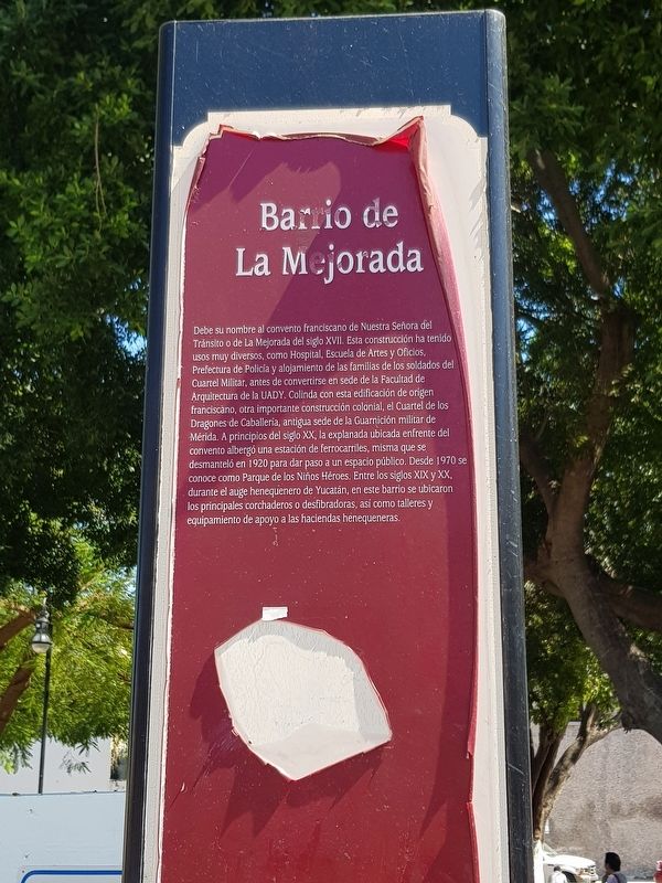
Debe su nombre al convento franciscano de Nuestra Señora del Tránsito o de La Mejorada del siglo XVII. Esta construcción ha tenido usos muy diversos, como Hospital, Escuela de Artes y Oficios }, Prefectura de Policía y alojamiento de las familias de los soldados del Cuartel Militar, antes de convertirse en sede de la Facultad de Arquitectura de la UADY. Colinda con esta edificación de origen franciscàno, otra importante construcción colonial, el Cuartel de los Dragones de Caballería, antigua sede de la Guarnición militar de Mérida. A principios del siglo XX, la explanada ubicada enfrente del convento albergó una estación de ferrocarriles, misma que se desmanteló en 1920 para dar paso a un espacio público. Desde 1970 se conoce como Parque de los Niños Héroes. Entre los siglos XIX y XX durante el auge henequenero de Yucatán, en este barrio se ubicaron los principales corchaderos o desfibradoras, así como talleres y equipamiento de apoyo a las haciendas henequeneras.
Neighborhood of La Mejorada
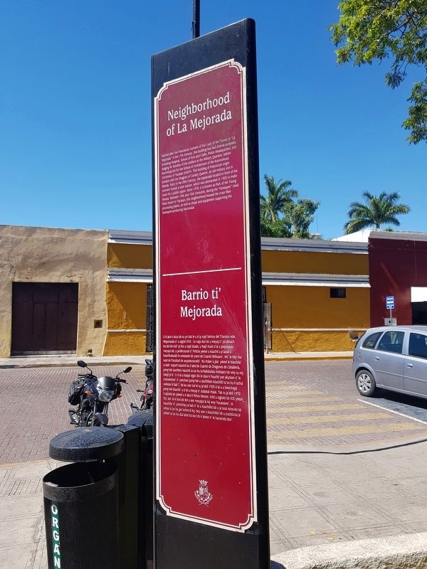
Named after the Franciscan convent of Our Lady of the Transit or “La Mejorada” in the 17th Century, this building has had diverse purposes, including Hospital, School of Arts and Crafts, Police Headquarters, and lodging for families of the soldiers in the Millitary Quarters, before becoming site for the School of Architecture of the Autonomous University of Yucatan (UADY). This building of Franciscan origin borders with the Dragons of Cavalry Quarter, an old military site in Merida. Early in the 20th Century, the esplanade located in front of the convent hosted a train station, which was dismantled in 1920 to make room for a public space. Since 1970, it is known as Park of the Young Heroes. Between 19th and 20th Centuries, during the "henequen" (sisal fiber) boom in Yucatan, this neighborhood housed the main fiber processing plants, as well as shops and equipment supporting the henequen-producing Haciendas.
Barrio ti’ Mejorada
U k’aba'e dxza'ab tu yo'olal le u k'uj najil Señora del Transito wáa Mejoiraada ti' u sigloil XVII. Le naja dzo'ok u meyaj ti' ya'abkach ba'alo'ob óoli' je bix u nail dzaak, u Najil Xook ti'al u jeejeláasio meyajo ob, u prefecturai ti’ Policia yéetel u kúuchil u p'áatal u kúuchkabalil le soldaado'ob yano'ob Cuartel Milltaro', leti' le bey ma suta'ak Facultad de arquitecturailo'. Ku máan u jal yéetel le kúuchila ulak' nojoch kúuchil ku k'aba'tik Cuartel de Dragones
de Caballeria, jump'éel duchben kúuchil tu' ux ku ta Oakikubáa militaaro' ob wey tu no kaijl Jo'e. Ut'al u káajal siglo XX le táax k iuuchil yan akytáan ti' le conveentoo'til yanchan jump'éel u duchhben kúuchilil tu'ux ku k'uchu wa aa iak, ba'ax xan tze'el tu ja'abil 1920 ti al u u beetchajal XX, leti le k'lino'ob ikil u sen meyajta'al kij wey Yucataane', te whaa tu'ux ku jpo'ochta al kij, bey xan u kúuchililio'ob u yutzkinta'al jump'el kiuchil utifal u meyajt' tuláakal máak. Tak tu ja'abil 1970 k'ajóolt'an yéetel u k'aba'il Niños Heroes. Ichil u sigloilo'ob XIX yéetel XX, leti' le k'iino'ob ikil u sen meyajta'al kij wey Yucataane', te kúuchila ti' yannchaj ya'ab ti' le u kúuchililo'ob u ja'axal sóoskilo'ob wnaa tu'ux ku dza'abal ba'axo'ob k'abéet ti' le hacienda' obo’.
Topics. This historical marker is listed in these topic lists: Churches & Religion • Industry & Commerce • Parks & Recreational Areas • Settlements & Settlers. A significant historical year for this entry is 1920.
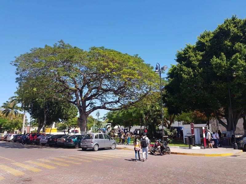
Location. 20° 58.072′ N, 89° 37.001′ W. Marker is in Mérida, Yucatán. Marker is on Calle 50-A just north of Calle 59, on the right when traveling north. Touch for map. Marker is in this post office area: Mérida YU 97000, Mexico. Touch for directions.
Other nearby markers. At least 8 other markers are within walking distance of this marker. Juan F. Molina Solís (within shouting distance of this marker); Former Convent dedicated to Our Lady of Transit o de La Mejorada
(within shouting distance of this marker); Monument to the Children Heroes of Chapultepec (within shouting distance of this marker); Folk Art Museum (about 90 meters away, measured in a direct line); 'Dragons' Quarters (about 120 meters away); Railroad Station (approx. 0.3 kilometers away); Chapel of Our Lady of the Rosary (approx. 0.6 kilometers away); Temple of San Juan de Dios (approx. 0.6 kilometers away). Touch for a list and map of all markers in Mérida.
Credits. This page was last revised on October 14, 2022. It was originally submitted on March 11, 2019, by J. Makali Bruton of Accra, Ghana. This page has been viewed 86 times since then and 7 times this year. Photos: 1, 2, 3. submitted on March 11, 2019, by J. Makali Bruton of Accra, Ghana.


