Locust Point Industrial Area in Baltimore, Maryland — The American Northeast (Mid-Atlantic)
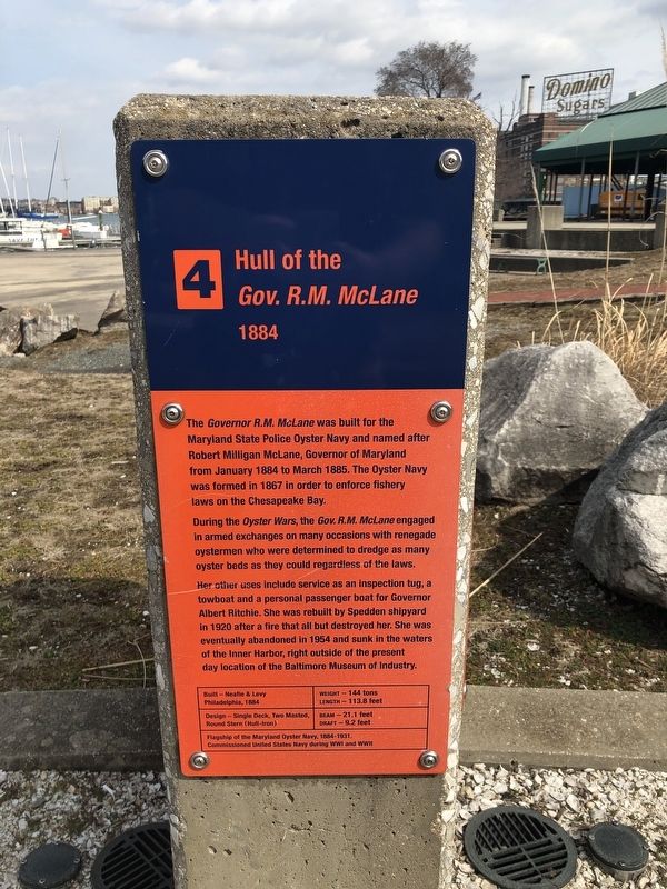
Hull of the Gov. R.M. McLane
1884
The Governor R.M. McLane was built for the Maryland State Police Oyster Navy and named after Robert Milligan McLane, Governor of Maryland from January 1884 to March 1885. The Oyster Navy was formed in 1867 in order to enforce fishery laws on the Chesapeake Bay.
During the Oyster Wars, the Gov. R.M. McLane engaged in armed exchanges on many occasions with the renegade oystermen who were determined to dredge as many oyster beds as they could regardless of the laws.
Her other uses include service as an inspection tug, a towboat and a personal passenger boat for Governor Albert Ritchie. She was rebuilt by Spedden shipyard in 1920 after a fire than all but destroyed her. She was eventually abandoned in 1954 and sunk in the waters of the Inner Harbor, right outside of the present day location of the Baltimore Museum of Industry.
Built — Neafie & Lev, Philadelphia, 1884
Weight — 144 tons
Length — 113.8 feet
Design — Single Deck, Two Masted, Round Stern (Hull-Iron)
Beam — 21.1 feet
Draft — 9.2 feet
Flagship of the Maryland Oyster Navy, 1884-1931.
Commissioned United States Navy during WWI and WWII
[Side of marker:]
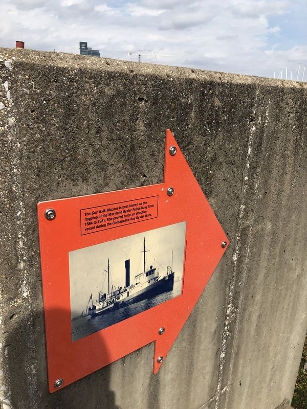
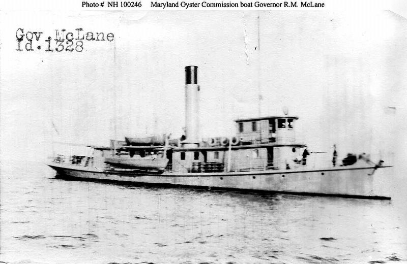
The Gov. R.M. McLane is best known as the flagship of the Maryland Oyster Police Navy from 1884 to 1931. She proved to be an effective vessel during the Chesapeake Bay Oyster Wars.
Erected by The Baltimore Museum of Industry. (Marker Number 4.)
Topics. This historical marker is listed in these topic lists: Environment • War, World I • War, World II • Waterways & Vessels. A significant historical month for this entry is January 1884.
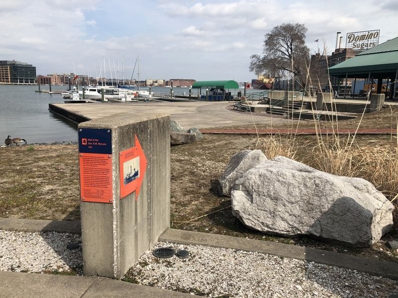
Location. 39° 16.448′ N, 76° 36.051′ W. Marker is in Baltimore, Maryland. It is in the Locust Point Industrial Area. Marker can be reached from Key Highway east of Boyle Street, on the right when traveling west. Touch for map. Marker is at or near this postal address: 1415 Key Highway, Baltimore MD 21230, United States of America. Touch for directions.
Other nearby markers. At least 8 other markers are within walking distance of this marker. Bethlehem Steel Shipyard Crane (here, next to this marker); Knabe Piano Factory Cupola (here, next to this marker); Steam Tug Baltimore (a few steps from this marker); Working Point by David Hess (a few steps from this marker); Platt and Company Oyster Packers (a few steps from this marker); a different marker also named Platt and Company Oyster Packers (within shouting
Additional keywords. Hull of the Gov. R.M. McLane
Credits. This page was last revised on April 19, 2021. It was originally submitted on March 16, 2019, by Devry Becker Jones of Washington, District of Columbia. This page has been viewed 336 times since then and 50 times this year. Photos: 1, 2, 3. submitted on March 16, 2019, by Devry Becker Jones of Washington, District of Columbia. 4, 5. submitted on March 18, 2019, by Allen C. Browne of Silver Spring, Maryland.
