Merriam Park West in Saint Paul in Ramsey County, Minnesota — The American Midwest (Upper Plains)
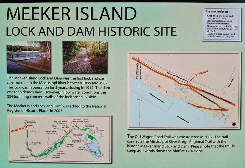
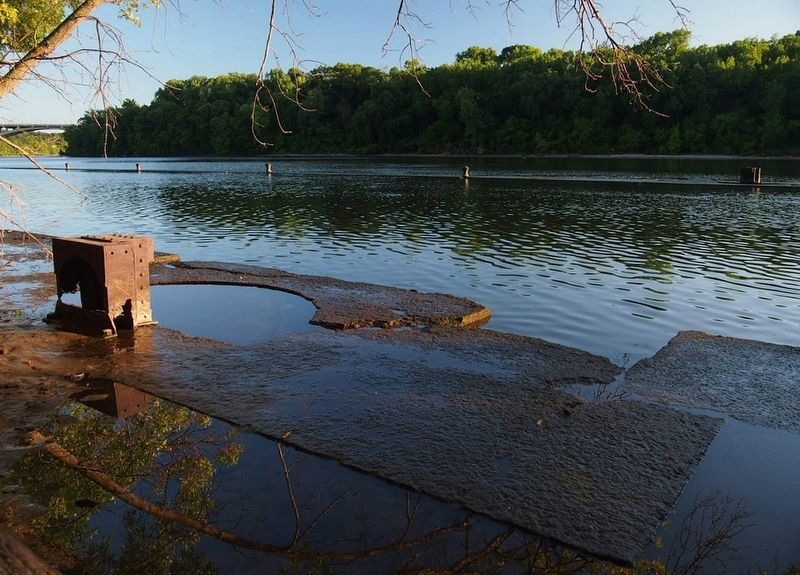
Meeker Island Lock and Dam Historic Site
The Meeker Island Lock and Dam was added to the National Register of Historic Places in 2003.
The Old Wagon Road Trail was constructed in 2007. The trail connects the Mississippi River Gorge Regional Trail with the historic Meeker Island Lock and Dam. Please note that the trail is steep as it winds down the bluff at 12% slope.
Erected by Saint Paul Parks and Recreation, National Park Service.
Topics. This historical marker is listed in this topic list: Waterways & Vessels. A significant historical year for this entry is 1899.
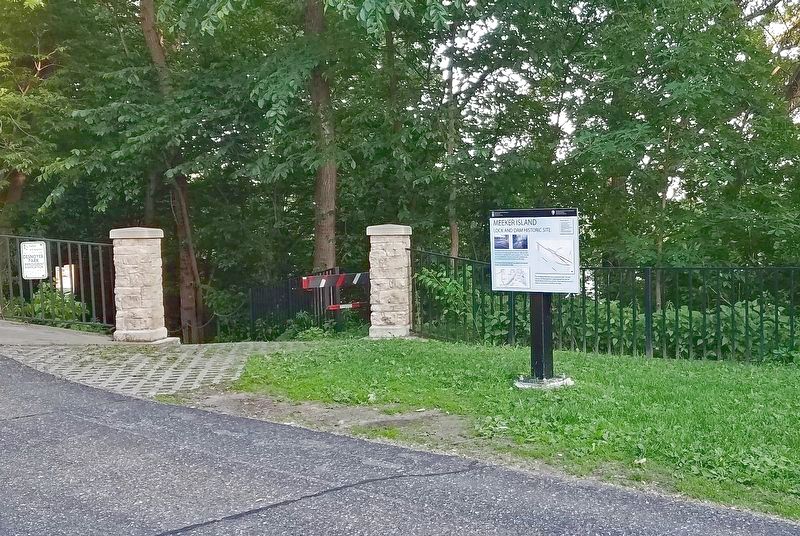
Location. 44° 57.242′ N, 93° 12.387′ W. Marker is in Saint Paul, Minnesota, in Ramsey County. It is in Merriam Park West. Marker is on N. Mississippi River Blvd. west of Eustis St., on the right when traveling east. Touch for map. Marker is at or near this postal address: 486 N Mississippi River Blvd, Saint Paul MN 55104, United States of America. Touch for directions.
Other nearby markers. At least 8 other markers are within walking distance of this marker. Meeker Island Lock and Dam (a few steps from this marker); Mississippi River (approx. 0.2 miles away); Roar of Waterfall, Rush of Rapids (approx. ¼ mile away); Sri Chinmoy Peace Bridge (approx. 0.4 miles away); Bridging the Mississippi (approx. 0.4 miles away); Sesquicentennial Trees (approx. half a mile away); The Red River Ox Cart Trail (approx. half a mile away); Minneapolis War Memorial Blood Bank (approx. 0.7 miles away). Touch for a list and map of all markers in Saint Paul.
Credits. This page was last revised on February 12, 2023. It was originally submitted on March 16, 2019, by McGhiever of Minneapolis, Minnesota. This page has been viewed 338 times since then and 52 times this year. Photos: 1. submitted on March 16, 2019, by McGhiever of Minneapolis, Minnesota. 2. submitted on May 23, 2021, by McGhiever of Minneapolis, Minnesota. 3. submitted on March 16, 2019, by McGhiever of Minneapolis, Minnesota. • Bill Pfingsten was the editor who published this page.


