Presidio of San Francisco in San Francisco City and County, California — The American West (Pacific Coastal)
The Last Word in Airfields
U.S. Army Coast Defense Air Station
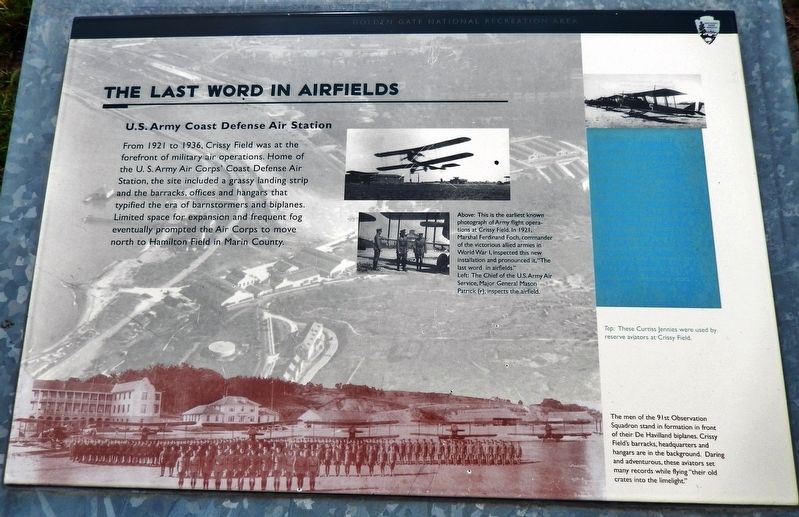
From 1921 to 1936, Crissy Field was at the forefront of military air operations. Home of the U. S. Army Air Corps' Coast Defense Air Station, the site included a grassy landing strip and the barracks, offices and hangars that typified the era of barnstormers and biplanes. Limited space for expansion and frequent fog eventually prompted the Air Corps to move north to Hamilton Field in Marin County.
Topics. This historical marker is listed in this topic list: Air & Space. A significant historical year for this entry is 1921.
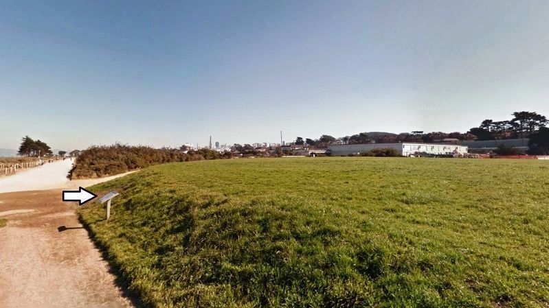
Location. 37° 48.272′ N, 122° 27.668′ W. Marker is in San Francisco, California, in San Francisco City and County. It is in Presidio of San Francisco. Marker can be reached from Mason Street, 0.3 miles west of Halleck Street, on the right when traveling west. Marker is located on the Crissy Field grounds, beside the walkway, about 1/10 north of the Crissy Field parking lot. Touch for map. Marker is at or near this postal address: 610 Mason Street, San Francisco CA 94129, United States of America. Touch for directions.
Other nearby markers. At least 8 other markers are within walking distance of this marker. Military Intelligence Service Language School (about 700 feet away, measured in a direct line); San Francisco National Cemetery (approx. ¼ mile away); Music in the Military: Presidio Band Barracks (approx. ¼ mile away); Montgomery Street Barracks (approx. ¼ mile away); U.S.S. Oregon Marine Corps Memorial (approx. ¼ mile away); Sergeants' Row (approx. 0.3 miles away); From Post to Park (approx. 0.3 miles away); Daring Pilots, Youthful Heroes (approx. 0.3 miles away). Touch for a list and map of all markers in San Francisco.
Also see . . . Crissy Field History (Wikipedia). In July 1918 Congress established eight "air coast defense stations" and appropriated $1.5 million for the construction of one of them at the Presidio, to protect San Francisco Bay. Construction proceeded throughout 1920, and the Army accepted the facility on June 24, 1921, as a sub-post of the Presidio. The first unit assigned to the field, the 91st Observation Squadron, arrived from Mather in August. In the early years, Crissy Field involved mainly the viewing of artillery fire, aerial photography, liaison flights for headquarter personnel, special civilian missions such as publicity flights and search and rescues, and a support field for U.S. Air Mail. The first Western aerial forest fire patrols took place from Crissy Field. Originally, Crissy Field was considered ideal for air operations. However, wind and fog often made for poor flying conditions,

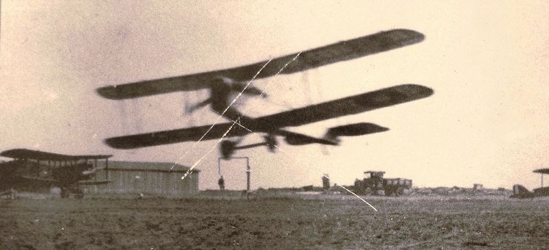
2. Marker detail: Army flight operations at Crissy Field
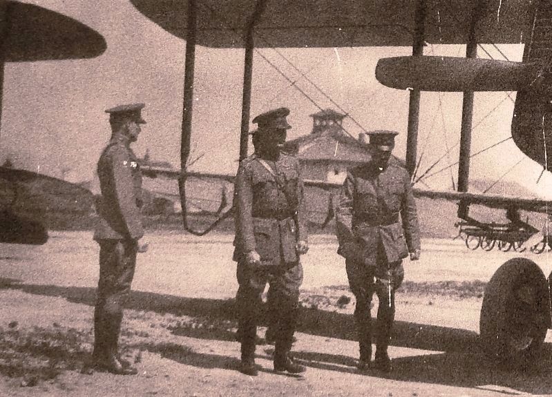
This is the earliest known photograph of Army flight operations at Crissy Field. In 1921, Marshal Ferdinand Foch, commander of the victorious allied armies in World War I, inspected this new installation and pronounced it, "The last word in airfields.”

4. Marker detail: 91st Observation Squadron
The men of the 91st Observation Squadron stand in formation in front of their De Havilland biplanes. Crissy Field's barracks, headquarters and hangars are in the background. Daring and adventurous, these aviators set many records while flying "their old crates into the limelight."
Credits. This page was last revised on February 7, 2023. It was originally submitted on March 16, 2019, by Cosmos Mariner of Cape Canaveral, Florida. This page has been viewed 136 times since then and 11 times this year. Photos: 1, 2, 3, 4, 5. submitted on March 17, 2019, by Cosmos Mariner of Cape Canaveral, Florida.


