Near Palatine Bridge in Montgomery County, New York — The American Northeast (Mid-Atlantic)
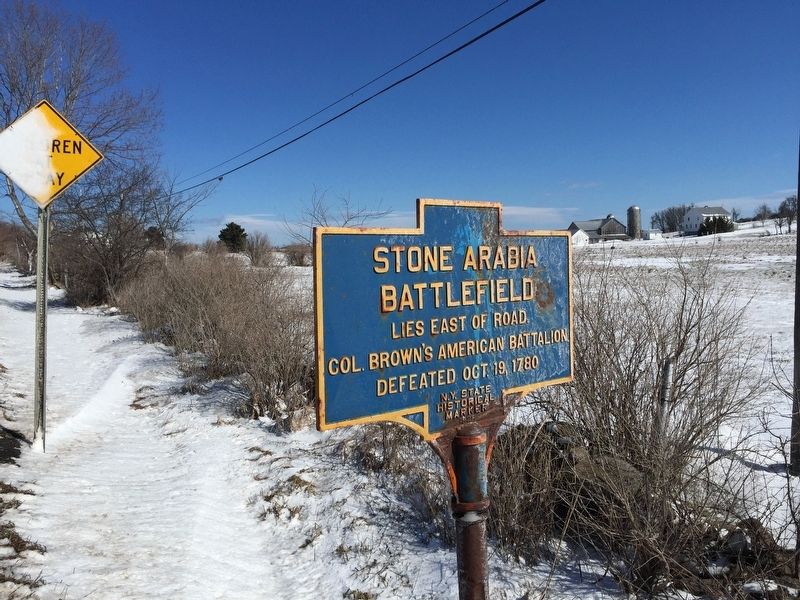
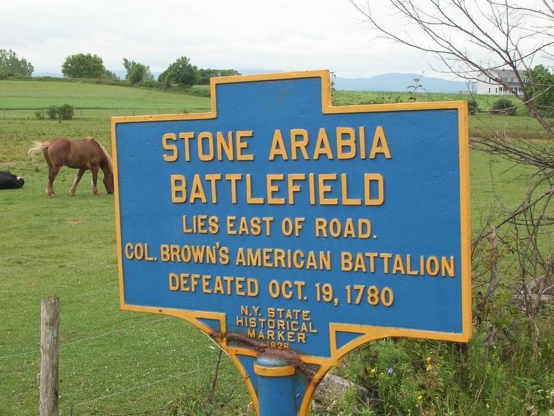
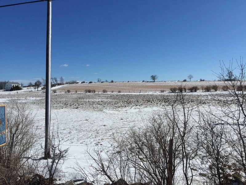
Stone Arabia Battlefield
Erected 1928 by N.Y. State Historical Marker.
Topics. This historical marker is listed in this topic list: War, US Revolutionary. A significant historical date for this entry is October 19, 1780.
Location. Marker has been reported permanently removed. It was located near 42° 55.659′ N, 74° 33.411′ W. Marker was near Palatine Bridge, New York, in Montgomery County. Marker was on New York State Route 10, 0.4 miles south of Ephratah Road, on the left when traveling south. Touch for map. Marker was in this post office area: Palatine Bridge NY 13428, United States of America.
We have been informed that this sign or monument is no longer there and will not be replaced. This page is an archival view of what was.
Other nearby markers. At least 8 other markers are within 2 miles of this location, measured as the crow flies. Stone Arabia (approx. one mile away); Battle of Stone Arabia (approx. one mile away); Former Dutch Reformed Church (approx. one mile away); Wagner Home (approx. 1.3 miles away); Fort Paris (approx. 1.6 miles away); Fort Frey (approx. 1.6 miles away); Routes of the Armies (approx. 1.6 miles away); John Frey (approx. 1.6 miles away). Touch for a list and map of all markers in Palatine Bridge.
Additional commentary.
1. Marker has been moved
I could not find this marker at the location stated. A different marker was placed at this exact location. Later, when touring the Stone Church in Stone Arabia, NY, I found the Stone Arabia Battlefield marker stored inside the church. Note To Editor only visible by Contributor and editor
— Submitted July 9, 2021, by Paige Miller of Getzville, New York.
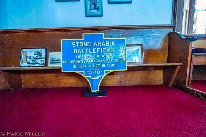
Photographed By Paige Miller, July 5, 2021
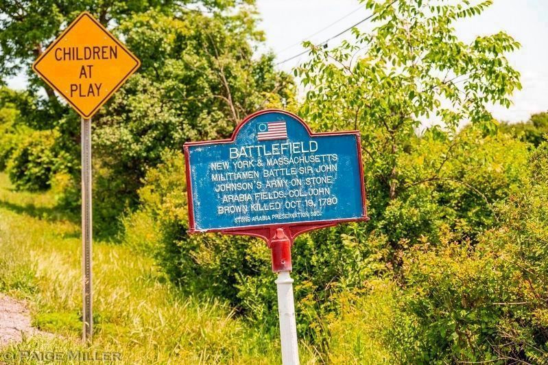
4. Stone Arabia Battlefield Marker
This marker, as of 7/5/2021, has been moved from the location stated to inside the nearby Stone Arabia Stone Church, 5371 Route 10, Stone Arabia, NY (42° 56.559′ N, 74° 33.362′ W). A different marker has been placed at the location where this marker used to be (see next photo).
Credits. This page was last revised on July 21, 2021. It was originally submitted on March 26, 2019, by Steve Stoessel of Niskayuna, New York. This page has been viewed 332 times since then and 29 times this year. Photos: 1. submitted on March 26, 2019, by Steve Stoessel of Niskayuna, New York. 2. submitted on December 12, 2019, by Howard C. Ohlhous of Duanesburg, New York. 3. submitted on March 26, 2019, by Steve Stoessel of Niskayuna, New York. 4, 5. submitted on July 16, 2021, by Paige Miller of Getzville, New York. • Bill Pfingsten was the editor who published this page.
