Green Valley in Arlington in Arlington County, Virginia — The American South (Mid-Atlantic)
This is W&OD Trail: Shirlington!

Photographed By Devry Becker Jones (CC0), January 22, 2023
1. This is W&OD Trail: Shirlington! Marker
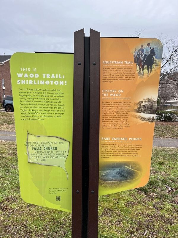
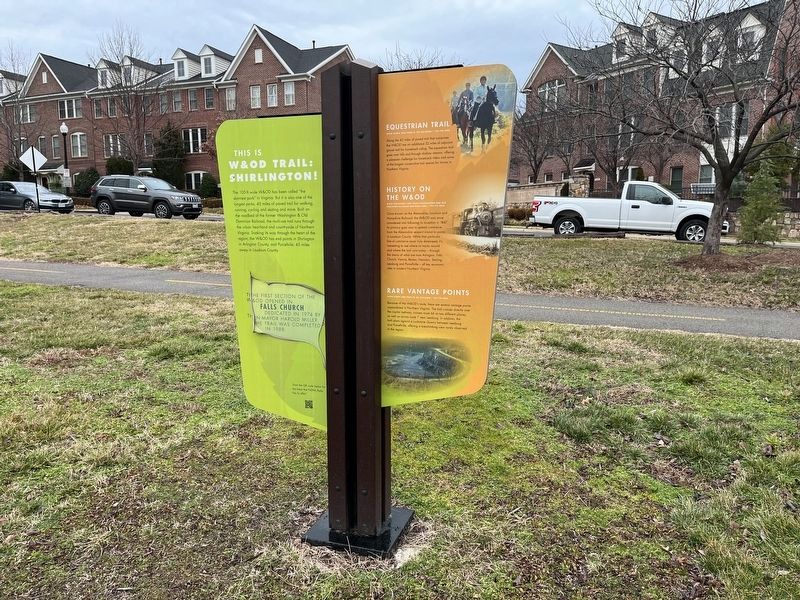
The 100-ft wide W&OD has been called "the skinniest park" in Virginia. But it is also one of the longest parks, 45 miles of paved trail for walking, running cycling and skating and more. Built on the roadbed of the former Washington & Old Dominion Railroad, the multi-use trail runs through the urban heartland and countryside of Northern Virginia. Snaking its way through the heart of the region, the W&OD has end points in Shirlington in Arlington county, and Purcellville, 45 miles away in Loudoun County.
The first section of the W&OD opened in Falls Church dedicated in 1974 by then-mayor Harold Miller. The trail was completed in 1988.
Equestrian Trail
www.nvrpa.org/park/w_od_railroad | 703-729-0596
Along the 45 miles of paved trail that comprises the W&OD are an additional 32 miles of adjacent gravel trail for horseback riding. The equestrian trail goes over hills and through shallow streams, offering a pleasant challenge for horseback riders and some of the longest consecutive trail spaces for horses in Northern Virginia.
History on the W&OD
www.novaparks.com/parks/washington-and-old-dominion-railroad-regional-park | 703-729-0596
Once known as the Alexanria, Loudoun and Hampshire Railroad, the W&OD was once considered vital following its inception in 1847. Its primary goal was to spread commerce from the Alexandria seaport inland to points in Loudoun County. While that particular line of commerce never truly developed, it's interesting to see where its tracks wound and where the trail runs today — through the towns of what are now Arlington, Falls Church, Vienna, Reston, Herndon, Sterling, Leesburg and Purcellville — all key economic sites in modern Northern Virginia.
Rare Vantage Points
www.nvrpa.org/park/w_od_railroad | 703-729-0596
Because of the W&OD's route, there are several vantage points unparalleled in Northern Virginia. The trail crosses directly over the capital beltway, crosses route 66 at two different places, as well as across route 7 near Leesburg. In addition, the trail abuts against a Luckstone Quarry between Leesburg and Purcellville, offering a breathtaking view rarely observed in the region.
About Nova Parks
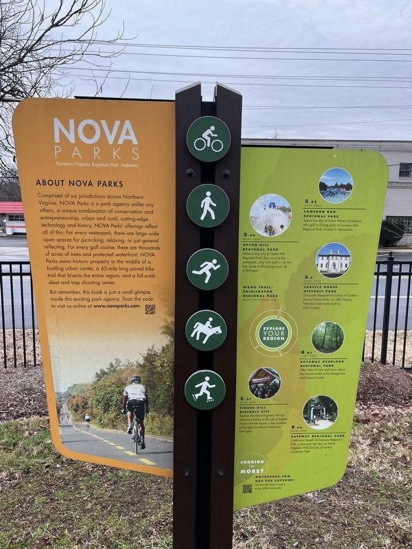
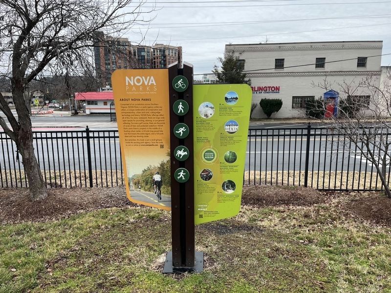
Comprised of six jurisdictions across Northern Virginia, NOVA Parks is a park agency unlike any others, a unique combination of conservation and entrepreneurship, urban and rural, cutting-edge technology and history. NOVA Parks' offerings reflect all of this: For every waterpark, there are large wide open spaces for picnicking, relaxing or just general reflecting. For every golf course, there

Photographed By Devry Becker Jones (CC0), January 22, 2023
2. This is W&OD Trail: Shirlington! Marker
But remember, this kiosk is just a small glimpse inside this exciting park agency. Scan the code to visit us online at www.novaparks.com.
2.85 miles away
Cameron Run Regional Park
Spend the day at Great Waves Waterpark, mini golf or fishing piers at Cameron Run Regional Park, located in Alexandria.
3.58 miles away
Upton Hill Regional Park
Make a day of it at Upton Hill Regional Park. Stay cool at the waterpark, play mini golf or set the kids loose at the playground, all in Arlington.
3.6 miles away
Carlyle House Historic Park
Encounter Alexandria's history at Carlyle House Historic Park, an 18th Century Palladin-style home built by John Carlyle.
4.87 miles away
Potomac Overlook Regional Park
Hike miles of trails and learn about the natural world at the Energium and Nature Center.
5.37 miles away
Tinner Hill Historic Site
Explore Northern Virginia's African

Photographed By Devry Becker Jones (CC0), January 22, 2023
3. This is W&OD Trail: Shirlington! Marker
9.96 miles away
Gateway Regional Park
Catch your breath at Gateway Regional Park, a one-acre rest stop on Northern Virginia's W&OD/City of Fairfax Connector Trail.
Erected by Northern Virginia Regional Park Authority.
Topics and series. This historical marker is listed in these topic lists: African Americans • Civil Rights • Colonial Era • Parks & Recreational Areas. In addition, it is included in the NOVA Parks, and the Washington and Old Dominion (W&OD) Railroad series lists. A significant historical year for this entry is 1974.
Location. 38° 50.656′ N, 77° 5.16′ W. Marker is in Arlington, Virginia, in Arlington County. It is in Green Valley. Marker is on South Four Mile Run Drive west of Shirlington Road, in the median. Touch for map. Marker is at or near this postal address: 3514 South Four Mile Run Drive, Arlington VA 22206, United States of America. Touch for directions.
Other nearby markers. At least 8 other markers are within walking distance of this marker. Washington and Old Dominion Trail (a few steps from this marker); Tracks Into History (a few steps from this marker); Nauck: A Neighborhood History (a few steps from this marker); Mid-Late 1800's (about 500 feet

Photographed By Devry Becker Jones (CC0), January 22, 2023
4. This is W&OD Trail: Shirlington! Marker
Credits. This page was last revised on April 1, 2024. It was originally submitted on March 29, 2019, by Devry Becker Jones of Washington, District of Columbia. This page has been viewed 261 times since then and 26 times this year. Photos: 1, 2, 3, 4. submitted on January 22, 2023, by Devry Becker Jones of Washington, District of Columbia.