Near Germantown in Montgomery County, Maryland — The American Northeast (Mid-Atlantic)
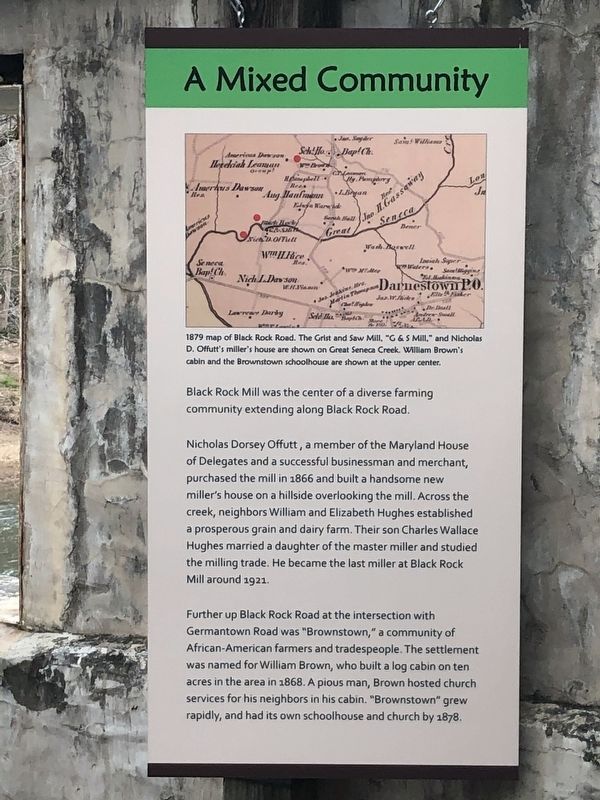
A Mixed Community
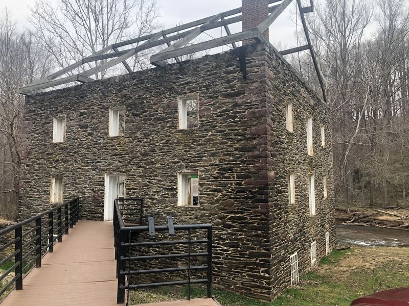
Nicholas Dorsey Offutt, a member of the Maryland House of Delegates and a successful businessman and merchant, purchased the mill in 1866 and built a handsome new miller's house on a hillside overlooking the mill. Across the creek, neighbors William and Elizabeth Hughes established a prosperous grain and dairy farm. Their son Charles Wallace Hughes married a daughter of the master miller and studied the milling trade. He became the last miller at Black Rock Mill around 1921.
Further up Black Rock Road at the intersection with Germantown Road was "Brownstown," a community of African-American farmers and tradespeople. The settlement was named for William Brown, who built a log cabin on ten acres in the area in 1868. A pious man, Brown hosted church services for his neighbors in his cabin. "Brownstown" grew rapidly, and had its own schoolhouse and church by 1878.
Erected by Maryland Park Service.
Topics. This historical marker is listed in these topic lists: African Americans • Agriculture • Government & Politics • Industry & Commerce. A significant historical year for this entry is 1866.
Location. 39° 7.629′ N, 77° 18.879′ W. Marker is near Germantown, Maryland, in Montgomery County. Marker can be reached from Black Rock Road north of Grey Pebble Way, on the left when traveling north. Touch for map. Marker is at or near this postal address: 16500 Black Rock Road, Germantown MD 20874, United States of America. Touch for directions.
Other nearby markers. At least 8 other markers are within 2 miles of this marker, measured as the crow flies. How the Mill Worked (here, next to this marker); Black Rock Mill and Great Seneca Creek (within shouting distance of this marker); White’s Ferry (approx. 1½ miles away); The Cliff Bland Recreation Area (approx. 1.7 miles away); Darnestown (approx. 1.8 miles away); The Signal Corps and Wartime Communications (approx. 2.1 miles away); The Civil War in Darnestown (approx. 2.1 miles away); Civil War Troops & Darnestown Residents (approx. 2.1 miles away). Touch for a list and map of all markers in Germantown.

Photographed By Devry Becker Jones (CC0), March 30, 2019
2. Black Rock Mill
The marker is inside the old mill.
Credits. This page was last revised on March 31, 2019. It was originally submitted on March 30, 2019, by Devry Becker Jones of Washington, District of Columbia. This page has been viewed 337 times since then and 30 times this year. Photos: 1, 2. submitted on March 30, 2019, by Devry Becker Jones of Washington, District of Columbia.
