Sebewaing in Huron County, Michigan — The American Midwest (Great Lakes)
Sebewaing Township Hall
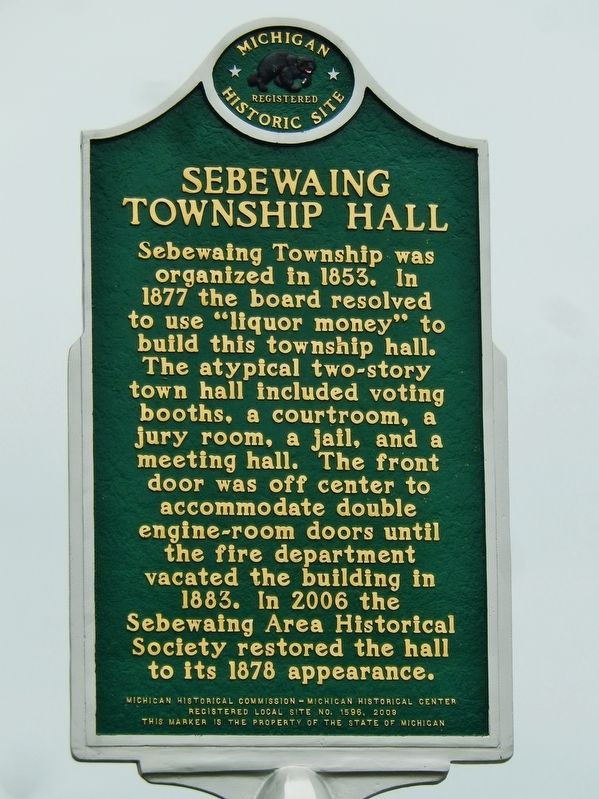
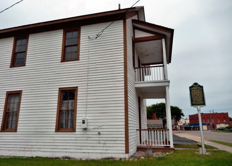
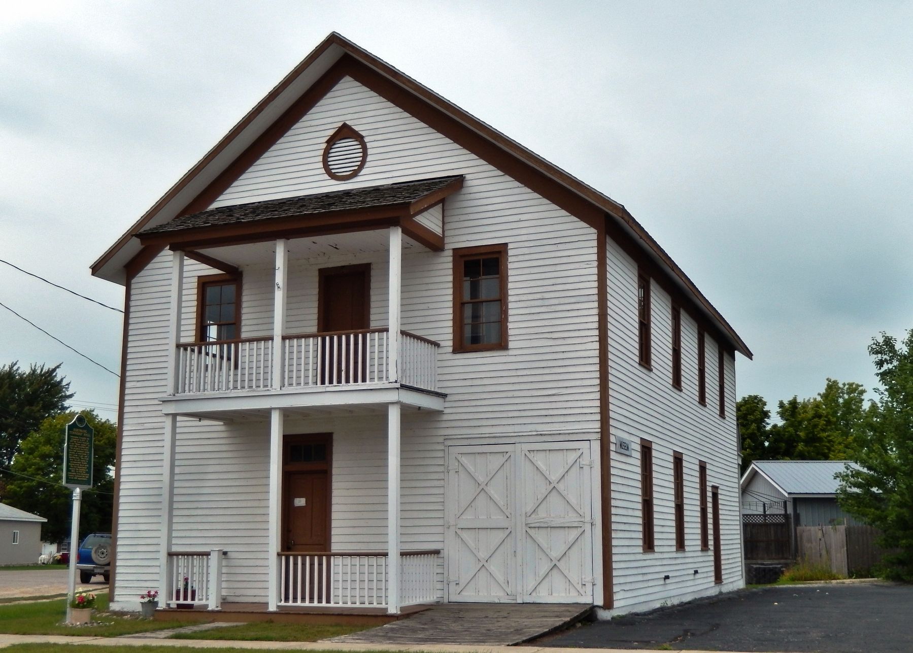
Sebewaing Township was organized in 1853. In 1877 the board resolved to use “liquor money” to build this township hall. The atypical two-story town hall included voting booths, a courtroom, a jury room, a jail, and a meeting hall. The front door was off center to accommodate double engine-room doors until the fire department vacated the building in 1883. In 2006 the Sebewaing Area Historical Society restored the hall to its 1878 appearance.
Erected 2009 by Michigan Historical Commission - Michigan Historical Center. (Marker Number L1596.)
Topics and series. This historical marker is listed in these topic lists: Charity & Public Work • Government & Politics. In addition, it is included in the Michigan Historical Commission series list. A significant historical year for this entry is 1853.
Location. 43° 43.896′ N, 83° 27.112′ W. Marker is in Sebewaing, Michigan, in Huron County. Marker is on South Center Street north of West Grove Street, on the right when traveling south. Marker is located beside the sidewalk, directly in front of the subject building. Touch for map. Marker is at or near this postal address: 92 South Center Street, Sebewaing MI 48759, United States of America. Touch for directions.
Other nearby markers. At least 8 other markers are within 10 miles of this marker, measured as the crow flies. John C. Liken / John C. Martini House (approx. 0.4 miles away); The Indian Mission (approx. 0.6 miles away); Sebewaing (approx. 0.6 miles away); Great Fire of 1881 (approx. 7.2 miles away); Henry A. Hamp / Alfred R. Vogel (approx. 7.2 miles away); Bay Port Fishing District (approx. 9.2 miles away); Stagecoaches (approx. 9.2 miles away); Owendale (approx. 9.3 miles away). Touch for a list and map of all markers in Sebewaing.
Credits. This page was last revised on April 3, 2022. It was originally submitted on April 5, 2019, by Cosmos Mariner of Cape Canaveral, Florida. This page has been viewed 312 times since then and 40 times this year. Photos: 1, 2, 3. submitted on April 5, 2019, by Cosmos Mariner of Cape Canaveral, Florida.


