Strong in Rochester in Monroe County, New York — The American Northeast (Mid-Atlantic)
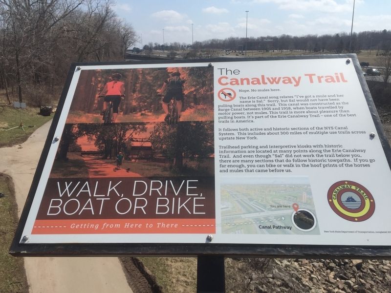
The Canalway Trail
The Erie Canal song relates “Iíve got a mule and her name is Sal.” Sorry, but Sal would not be pulling boats along this trail. This canal was constructed as the Barge Canal between 1905-1918 when boats traveled by motor power, not mules. This trail is more about pleasure than pulling boats. Itís part of the Erie Canalway Trail— one of the best trails in America.
It follows the active and historic NYS Canal System. This includes about 300 miles of multiple use trails across upstate New York.
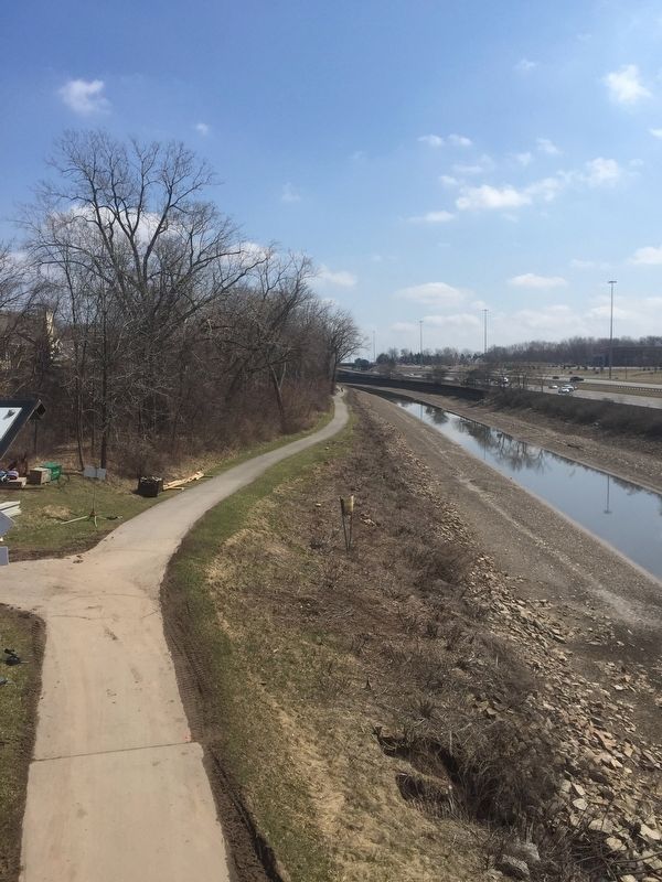
Trailhead parking and interpretive kiosks with historic information are located at many points along the Erie Canalway Trail. And even though Sal did not work the trail below you, there are many section that follow historic towpaths. If you go far enough, you can bike or hike in the hoof prints of horses and mules that came before us.
Erected 2015 by New York State Department of Transportation.
Topics and series. This historical marker is listed in these topic lists: Roads & Vehicles • Waterways & Vessels. In addition, it is included in the Erie Canal series list.
Location. 43° 6.987′ N, 77° 37.917′ W. Marker is in Rochester, New York, in Monroe County. It is in Strong. Marker is on Kendrick Road, on the left when traveling west. Marker is on the bridge over I-390. Touch for map. Marker is in this post office area: Rochester NY 14623, United States of America. Touch for directions.
Other nearby markers. At least 8 other markers are within walking distance of this marker. The Lehigh Valley Railroad Bridge (within shouting distance of this marker); The Genesee Expressway (within shouting distance of this marker); Is this the Erie Canal? (about 300 feet away, measured in a direct line); Olmsted and Genesee Valley Park (about 500 feet away); The Empire State Trail (approx. 0.3 miles away); Camp Hillhouse (approx. half a mile away); Clara Barton Red Cross Trail (approx. half a mile away); Bausch & Lomb Riverside Park (approx. half a mile away). Touch for a list and map of all markers in Rochester.
Credits. This page was last revised on February 16, 2023. It was originally submitted on April 6, 2019, by Steve Stoessel of Niskayuna, New York. This page has been viewed 216 times since then and 16 times this year. Photos: 1, 2. submitted on April 6, 2019, by Steve Stoessel of Niskayuna, New York. • Bill Pfingsten was the editor who published this page.

