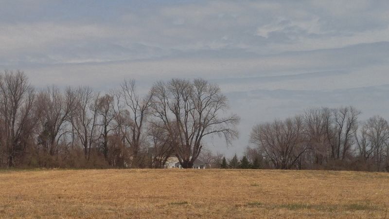
Sandy Spring in Montgomery County, Maryland — The American Northeast (Mid-Atlantic)
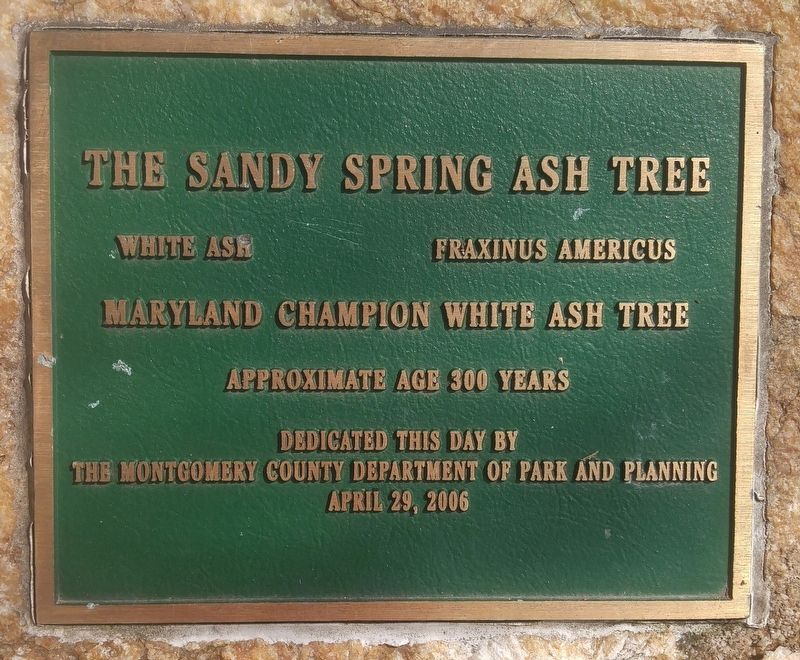
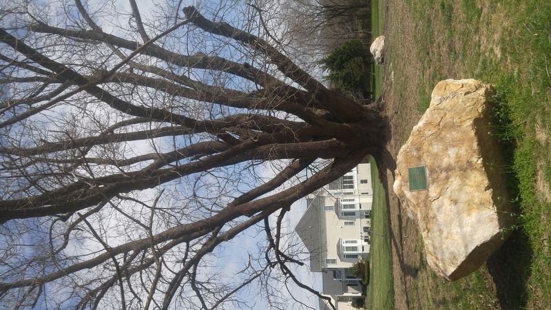
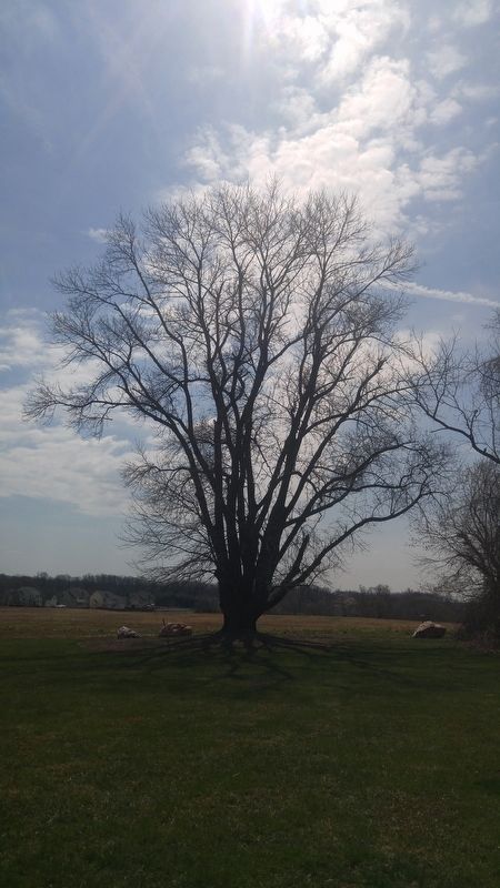
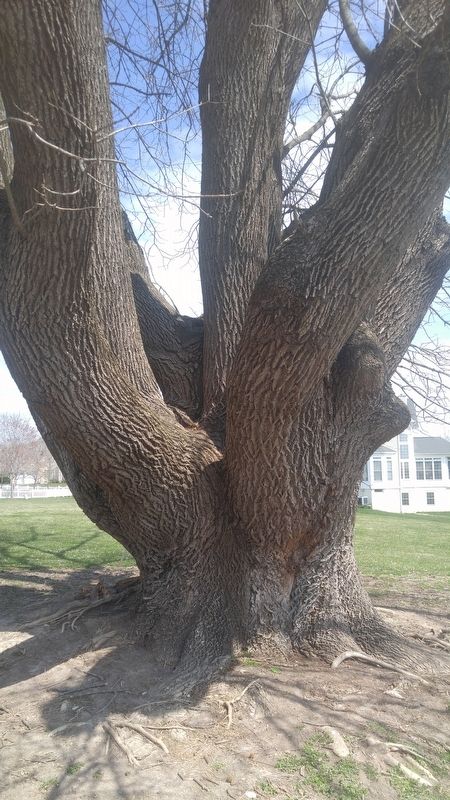
The Sandy Spring Ash Tree
White Ash
Fraxinus Americus
Maryland Champion White Ash Tree
Approximate age 300 years
Erected 2006 by Montgomery County Department of Park and Planning.
Topics. This historical marker is listed in these topic lists: Agriculture • Colonial Era • Horticulture & Forestry. A significant historical year for this entry is 1706.
Location. 39° 8.658′ N, 77° 1.232′ W. Marker is in Sandy Spring, Maryland, in Montgomery County. Marker can be reached from Auburn Village Drive, 0.4 miles south of Olney Sandy Spring Road (State Route 108), on the right when traveling south. Tree is about 150 feet from end of road, where the road circles back, and between houses numbered 17601 and 17602. Touch for map. Marker is in this post office area: Sandy Spring MD 20860, United States of America. Touch for directions.
Other nearby markers. At least 8 other markers are within 2 miles of this marker, measured as the crow flies. The Sandy Spring (approx. 0.3 miles away); History of the Sandy Spring Friends Meeting House (approx. 0.3 miles away); Sandy Spring Friends Meeting Site (approx. 0.3 miles away); Votes for Women (approx. 0.4 miles away); Olney Inn Gas Lanterns (approx. 0.4 miles away); Hallowed Ground (approx. 1.1 miles away); Quakers Practicing their Faith in Montgomery County (approx. 1.1 miles away); Mutual Memorial Cemetery (approx. 1.1 miles away). Touch for a list and map of all markers in Sandy Spring.
More about this marker. The tree may be alternately reached as the final stop, stop number 9, on the Underground Railroad Experience Trail, about two miles from the trailhead at Woodlawn Manor.
Credits. This page was last revised on December 17, 2020. It was originally submitted on April 7, 2019, by F. Robby of Baltimore, Maryland. This page has been viewed 589 times since then and 66 times this year. Photos: 1, 2, 3, 4, 5. submitted on April 7, 2019, by F. Robby of Baltimore, Maryland.
