Blakeley in Baldwin County, Alabama — The American South (East South Central)
Redoubt Six
Lt. Col. Charles S. Hills, 10th Kansas Infantry Regiment
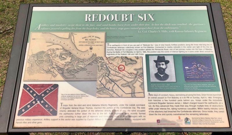
The earthworks in front of you are part of "Redoubt Six," one of nine heavily fortified positions along the three mile-long line of Confederate defenses collectively known as Fort Blakeley. Connected to nearby redoubts in the center and right of this line via trenches, Redoubt Six occupied a key position astride the Pensacola Road, one of two primary routes into the town of Blakeley. During the Battle of Fort Blakeley on April 9, 1865, the position was the scene of intense fighting as it came under direct assault by regiments of the Federal 13th and 16th Corps.
Troops from the 63rd and 62nd Alabama Infantry Regiments, under the overall command of Brigadier General Bryan Thomas, manned this portion of the Confederate line. The 63rd Infantry defended the portion of the defenses directly, in front of you; the 62nd occupied the earthworks further down the line to the left. Both regiments were recently formed units consisting in large part of reserves and conscripts, most of them teenagers with no previous military experience. Artillery support in this sector was supplied by Captain William C. Winston's Tennessee Battery, equipped with Parrott rifles and other guns.
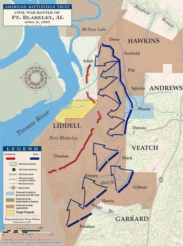
After days of constant, heavy, skirmishing all along the lines, Union forces launched an overall assault on Fort Blakeley at 5:30 PM on Sunday, April 9, 1865. Emerging from trenches a few hundred yards behind you, troops under the immediate command of Brigadier General James I. Gilbert charged toward the earthworks at a run. As they advanced they made their. way through multiple lines of obstructions while under intense fire, taking numerous casualties. Within twenty minutes some of the attackers had breached the Confederate defenses. Once inside, they swept down the line and quickly overwhelmed the remaining defenders.
Photo captions:
Top left: Map of the Confederate and Union lines at Blakeley
Bottom left: Flag of the 63rd Alabama Infantry Regiment (originally designated the 2nd Ala. Reserve Reg.)
Middle right: Brigadier General James I. Gilbert
Flag of the 47th Indiana Infantry Regiment, which was positioned a few hundred yards from this spot during the assault on Fort Blakeley.
Erected 2017 by Historic Blakeley State Park, Auburn University College of Liberal Arts, the University of Alabama Center for Economic Development, and the Delaware Valley Civil War Roundtable.
Topics. This historical marker is listed in this topic list: War, US Civil. A significant historical date for this entry is April 9, 1865.
Location. 30° 44.553′ N, 87° 54.925′ W. Marker is in Blakeley, Alabama, in Baldwin County. Marker is on Old Blakeley Road, on the right when traveling south. Across from Blakeley Cemetery. Touch for map. Marker is at or near this postal address: Old Blakeley Road, Spanish Fort AL 36527, United States of America. Touch for directions.
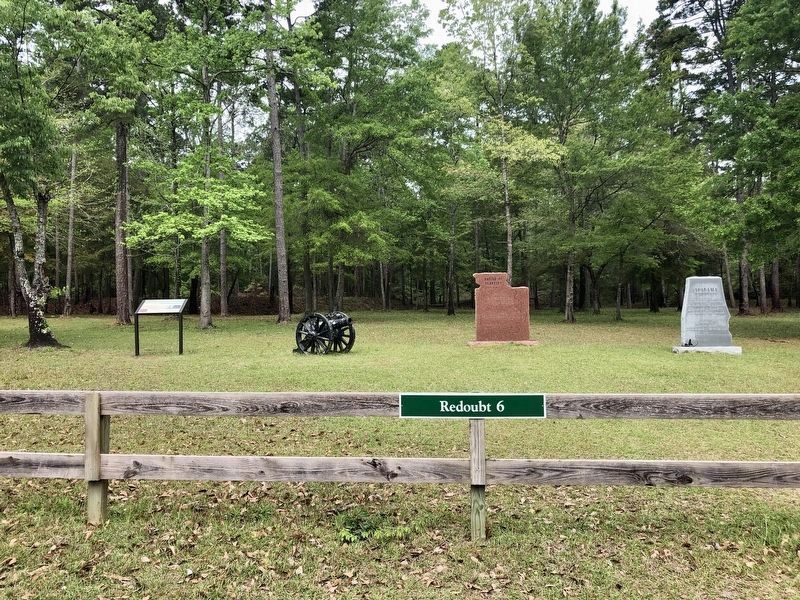
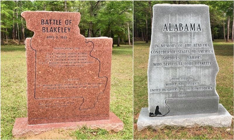
Other nearby markers. At least 8 other markers are within walking distance of this marker. Battle of Blakeley (here, next to this marker); Alabama (a few steps from this marker); Union Artillery Batteries (approx. 0.4 miles away); Site of Baldwin County's First Courthouse (approx. half a mile away); The Town of Blakeley (approx. half a mile away); Legendary Oaks (approx. half a mile away); Fort Blakeley (Blakely*) (approx. half a mile away); The Battle of Fort Blakeley (approx. half a mile away). Touch for a list and map of all markers in Blakeley.
Also see . . . Bsttle of Fort Blakeley - The War Ends and the Battle Begins. (Submitted on April 7, 2019, by Mark Hilton of Montgomery, Alabama.)
Credits. This page was last revised on April 9, 2019. It was originally submitted on April 7, 2019, by Mark Hilton of Montgomery, Alabama. This page has been viewed 739 times since then and 70 times this year. Photos: 1, 2, 3, 4. submitted on April 7, 2019, by Mark Hilton of Montgomery, Alabama.


