Highland in Rochester in Monroe County, New York — The American Northeast (Mid-Atlantic)
Bausch & Lomb Riverside Park
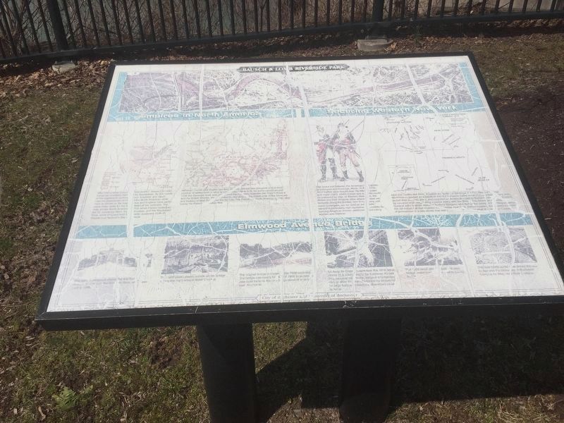
Empires in America/Securing Western New York/Elmwood Avenue Bridge
Inscription.
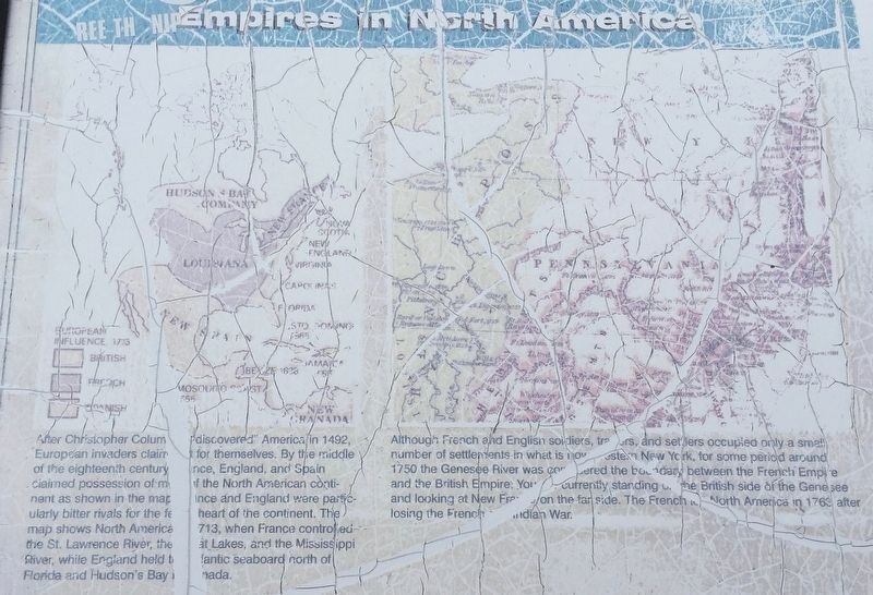
Empires in America After Christopher Columbus discovered America in 1492, European invaders claimed it for themselves. By the middle of the eighteenth century, France, England, and Spain claimed possession of most of the North American continent as shown in the map. France and England were particularly bitter rivals for the feral heart of the continent. The map shows North America in 1713, when France controlled the St. Lawrence River, the Great Lakes, and the Mississippi River, while England held Atlantic seaboard north of Florida and Hudsonís Bay in Canada.
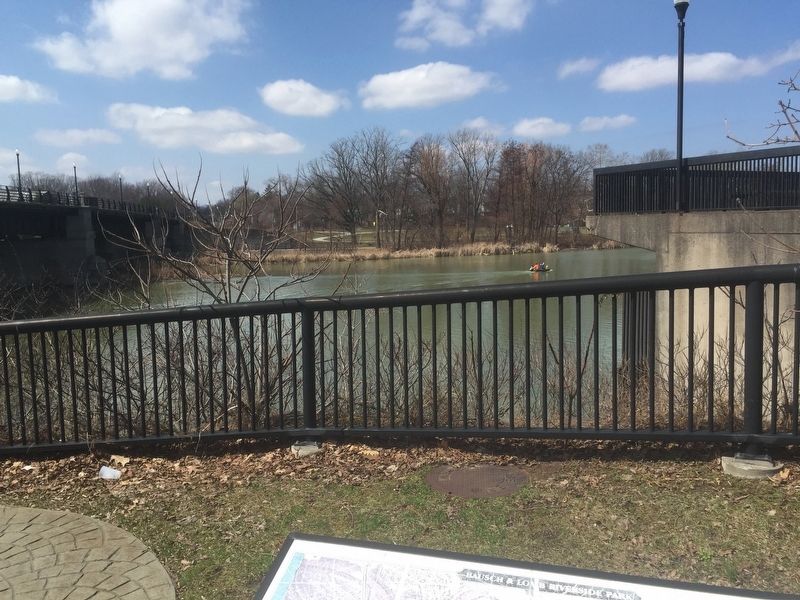
Although the French and English soldiers, traders, and settlers occupied only a small number of settlements in what is now northwestern New York, it was for some period around 1750, the Genesee River was considered the boundary between the French Empire and the British Empire. You are currently standing on the British side of the Genesee and looking at New France on the far side. The French left North America in 1763 after losing the French and Indian War.
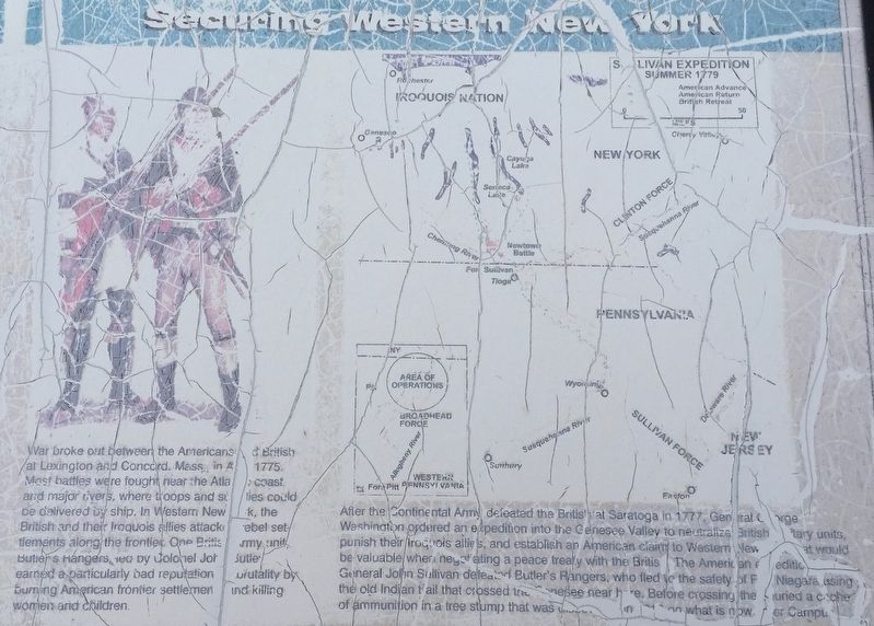
Securing Western New York War broke out between the Americans and British at Lexington and Concord, Mass. in April 1775. Most battles were fought near the Atlantic coast and major rivers where troops and supplies could be delivered by ship. In western New York, the British and their Iroquois allies attacked rebel settlements along the frontier. One British army unit, Butlerís Rangers, led by Colonel John Butler earned a particularly bad reputation for brutality by burning American frontier settlements and killing women and children.
After the Continental Army defeat the British at Saratoga in 1777 General George Washington ordered an expedition into the Genesee Valley to neutralize British military unit, punish their Iroquois allies, and establish an American claim to Western New York that would be valuable when negotiating a peace treaty with the British. The American expedition, led by General John Sullivan, defeated Butlerís Rangers, who fled to the safety of Fort Niagara using the old Indian trail that crossed the Genesee near here. Before crossing, they buried a cache of ammunition in a tree stump that was discovered in 1816 on what is now the River Campus.
Elmwood Avenue Bridge photo captions left to right
This early photograph shows the first Elmwood Avenue Bridge over the Genesee River, which was built in 1888.
This 1909 photo shows crowds on the bridge during the cityís annual Water Carnival
The original bridge is shown in this 1908 postcard. The bridge was raised four feet in 1918 to accommodate boat traffic to the new barge terminal in downtown Rochester.
An Army Air Corps student took this 1918 aerial photo in a class taught by Eastman Kodak. The structure next to the bridge is a temporary dam to allow the river channel to be deepened for large barges to reach the downtown canal terminal.
This 1935 aerial photo shows the new bridge under construction next to the old bridge.
This late-1930ís aerial view shows the new bridge and the Rochester Campus for Men, now River Campus.
Erected by City of Rochester and University of Rochester.
Topics and series. This historical marker is listed in these topic lists: Bridges & Viaducts • War, French and Indian • War, US Revolutionary • Waterways & Vessels. In addition, it is included in the The Sullivan-Clinton Expedition Against the Iroquois Indians series list.
Location. 43° 7.454′ N, 77° 37.903′ W. Marker is in Rochester, New York, in Monroe County. It is in Highland. Marker can be reached from the intersection of Wilson Boulevard and Elmwood Avenue, on the right when traveling west. Marker is on the footpath Beside the Elmwood Avenue Bridge just before footpath ducks below the bridge. It is hard to see from the road. Touch for map. Marker is in this post office area: Rochester NY 14611, United States of America. Touch for directions.
Other nearby markers. At least 8 other markers are within walking distance of this marker. Welcome to Genesee Valley Park (approx. 0.2 miles away); World War II (approx. 0.2 miles away); The Genesee (approx. 0.2 miles away); Oak Hill Country Club & The University of Rochester (approx. ľ mile away); Francis Bellamy (approx. ľ mile away); The Founding of the River Campus (approx. ľ mile away); Eric Coker and Kate Hollister Memorial (approx. 0.3 miles away); Camp Hillhouse (approx. 0.4 miles away). Touch for a list and map of all markers in Rochester.
Regarding Bausch & Lomb Riverside Park. Butler's Rangers had been defeated at the Battle of Newtown (near Elmira, NY) and were using an Indian path that crossed the Genesee River near here to retreat to Fort Niagara.
Also see . . . Genesee Riverway Trail. City of Rochester website entry (Submitted on December 8, 2023, by Larry Gertner of New York, New York.)
Credits. This page was last revised on December 8, 2023. It was originally submitted on April 8, 2019, by Steve Stoessel of Niskayuna, New York. This page has been viewed 309 times since then and 30 times this year. Photos: 1, 2, 3, 4, 5. submitted on April 8, 2019, by Steve Stoessel of Niskayuna, New York. • Bill Pfingsten was the editor who published this page.


