Blakeley in Baldwin County, Alabama — The American South (East South Central)
The Battle of Fort Blakeley
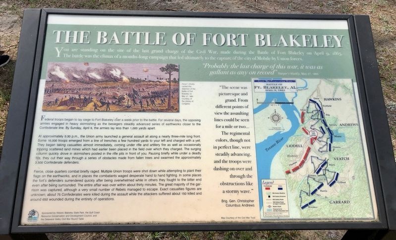
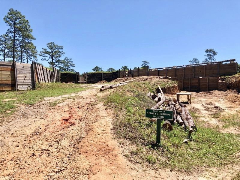
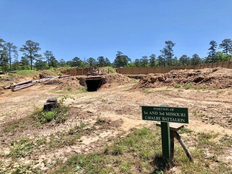
You are standing on the site of the last grand charge of the Civil War, made during the Battle of Fort Blakeley on April 9. 1865. The battle was the climax of a months-long campaign that led ultimately to the capture of the city of Mobile by Union forces.
Probably the last charge of this war, it was as gallant as any on record" Harper's Weekly, May 27, 1865
Federal troops began to lay siege to Fort Blakeley over a week prior to the battle. For several days, the opposing armies engaged in heavy skirmishing as the besiegers steadily advanced series of earthworks closer to the Confederate line. By Sunday, April 9, the armies lay less than 1,000 yards apart.
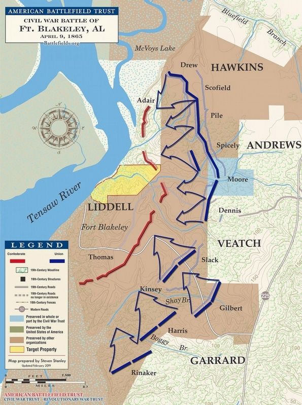
At approximately 5:30 p.m., the Union army launched a general assault all along a nearly three-mile long front. Some 16,000 troops emerged from a line of trenches a few hundred yards to your left and charged with a yell. They began taking casualties almost immediately, coming under rifle and artillery fire as well as occasionally tripping scattered land mines which had earlier been placed in the field over which they charged. The surging column quickly drove in skirmishers posted in the rifle pits in front of you. Pausing briefly while under a deadly fire, they cut their way through a series of obstacles made from fallen trees and swarmed the approximately 3,500 Confederate defenders.
Fierce, close quarters combat briefly raged. Multiple Union troops were shot down while attempting to plant their flags on the earthworks, and in places the combatants waged desperate hand to hand fighting. In some places the fort's defenders surrendered quickly after being overwhelmed while in others they fought to the bitter end even after being surrounded. The entire affair was over within about thirty minutes. The great majority of the garrison was captured, although a very small number of Rebels managed to escape. Exact casualties figures are unknown; about 75 Confederates were killed during the assault while the attackers suffered about 150 killed and around 650 wounded during the entirety of operations.
The
scene was picturesque and grand. From different points of view the assaulting lines could be seen for a mile or two.. The regimental colors, though not in perfect line, were steadily advancing, and the troops were dashing on over and through the obstructions like a stormy wave."
Brig. Gen. Christopher Columbus Andrews
Photo caption: Harper's Weekly carried this depiction of the Battle of Fort Blakeley on May 27, 1865
Erected 2017 by Historic Blakeley State Park, Auburn University College of Liberal Arts, the University of Alabama Center for Economic Development, and the Delaware Valley Civil War Roundtable.
Topics. This historical marker is listed in these topic lists: Forts and Castles • War, US Civil. A significant historical date for this entry is April 9, 1865.
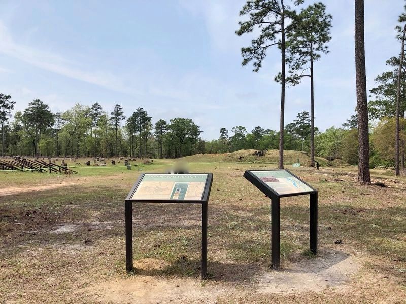
Location. 30° 44.967′ N, 87° 54.664′ W. Marker is in Blakeley, Alabama, in Baldwin County. Marker is on Battlefield Road, 0.3 miles east of Green Street. Located in Historic Blakeley Park. Touch for map. Marker is at or near this postal address: Battlefield Road, Spanish Fort AL 36527, United States of America. Touch for directions.
Other nearby markers. At least 8 other markers are within walking distance of this marker. Fort Blakeley (Blakely*) (here, next to this marker); The United States Colored Troops (USCT) at the Battle of Fort Blakeley (about 600 feet away, measured in a direct line); The Siege of Fort Blakeley (about 600 feet away); The Battle of Fort Blakely (approx. 0.3 miles away); Alabama (approx. half a mile away); Battle of Blakeley (approx. half a mile away); Redoubt Six (approx. half a mile away); The Bottle Creek Site (approx. ¾ mile away). Touch for a list and map of all markers in Blakeley.
Also see . . . Battle of Fort Blakeley. Encyclopedia of Alabama website entry (Submitted on August 1, 2023, by Larry Gertner of New York, New York.)
Photographed By Mark Hilton, April 20, 2019
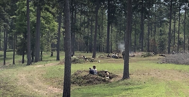
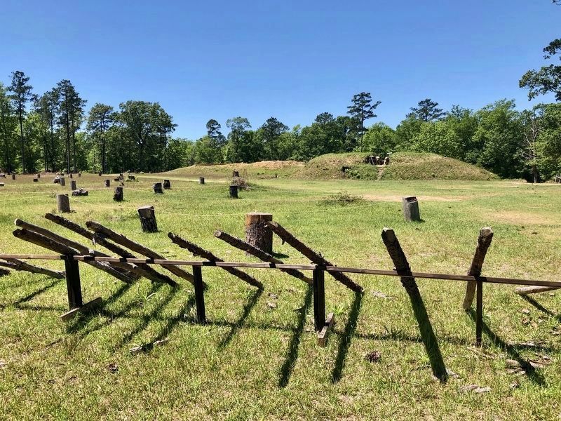
5. View from Union attack towards Redoubt #4
There were 7 lines of defense here. A few are shown in this photo, the spike poles, the stumps with telegraph wire strung between them and a moat in front of the redoubt.
The final Union assault took place across this ground. The restored fortifications in background were part of the defenses of Redoubt #4, where the major Federal breakthrough was achieved on April 9, 1865.
Credits. This page was last revised on February 7, 2024. It was originally submitted on April 8, 2019, by Mark Hilton of Montgomery, Alabama. This page has been viewed 814 times since then and 77 times this year. Photos: 1, 2, 3, 4. submitted on April 8, 2019, by Mark Hilton of Montgomery, Alabama. 5, 6, 7. submitted on April 20, 2019, by Mark Hilton of Montgomery, Alabama.
