Near Kingston in Bartow County, Georgia — The American South (South Atlantic)
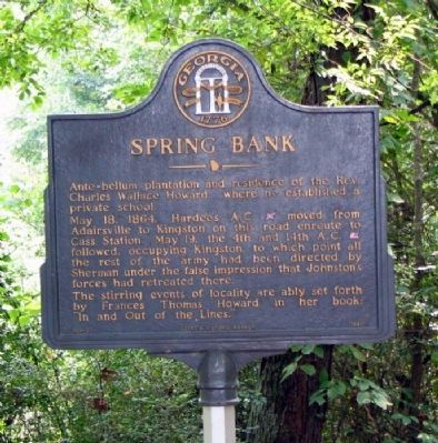
Spring Bank
May 18, 1864. Hardee's A.C. [CS] moved from Adairsville to Kingston on this road enroute to Cass Station. May 19, the 4th and 14th A.C. [US] followed, occupying Kingston, to which point all the rest of the army had been directed by Sherman under the false impression that Johnston's forces had retreated there.
The stirring events of locality are ably set forth by Frances Thomas Howard in her book "In and Out of the Lines."
Erected 1986 by Georgia Department of Natural Resources. (Marker Number 008-32.)
Topics and series. This historical marker is listed in these topic lists: Arts, Letters, Music • Churches & Religion • Education • Settlements & Settlers • War, US Civil • Women. In addition, it is included in the Georgia Historical Society series list. A significant historical month for this entry is May 1780.
Location. 34° 15.484′ N, 84° 57.64′ W. Marker is near Kingston, Georgia, in Bartow County. Marker is on Hall Station Road, 1.4 miles north of Kingston Highway (Georgia Route 293), on the left when traveling north. The marker is off the road across a small bridge, at the entrance to the old plantation site which is now a nature preserve. Touch for map. Marker is in this post office area: Kingston GA 30145, United States of America. Touch for directions.
Other nearby markers. At least 8 other markers are within 2 miles of this marker, measured as the crow flies. The Federal Army at Kingston (approx. 1.4 miles away); Hardee's Corps at Kingston (approx. 1.4 miles away); Rome Railroad (approx. 1.7 miles away); Confederate Memorial Day (approx. 1.7 miles away); The Andrews Raiders at Kingston (approx. 1.7 miles away); Nellie Margaret Harris Applin (approx. 1.8 miles away); House - Site Thomas V. B. Hargis (approx. 1.8 miles away); Kingston's Rich, Historical Past (approx. 1.8 miles away). Touch for a list and map of all markers in Kingston.
Credits. This page was last revised on January 26, 2020. It was originally submitted on November 1, 2008, by David Seibert of Sandy Springs, Georgia. This page has been viewed 2,113 times since then and 62 times this year. Photo 1. submitted on November 1, 2008, by David Seibert of Sandy Springs, Georgia. • Craig Swain was the editor who published this page.
Editor’s want-list for this marker. A wide shot of the marker and its surroundings. • Can you help?
