Two Bridges in Manhattan in New York County, New York — The American Northeast (Mid-Atlantic)
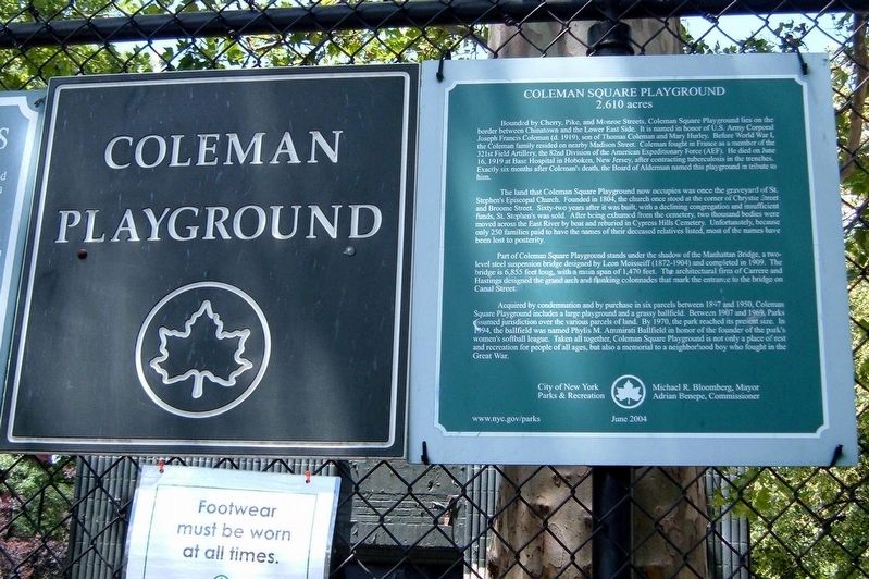
Coleman Square Playground
2.610 acres
Bounded by Cherry, Pike, and Monroe Streets, Coleman Square Playground lies on the border between Chinatown and the Lower East Side. It is named in honor of U.S, Army Corporal Joseph Francis Coleman (d. 1919), son of Thomas Coleman and Mary Hurley. before World War I, the Coleman family resided on nearby Madison Street. Coleman fought in France as a member of the 321st Field Artillery, the 82nd Division of the American Expeditionary Force (AEF). He died on June 16, 1919 at Base Hospital in Hoboken, New Jersey, after contracting tuberculosis in the trenches. Exactly six months after Colemanís death, the Board of Aldermen named this playground in tribute to him.
The land that Coleman Square Playground now occupies was once the graveyard of St. Stevenís Episcopal Church. Founded in 1804, the church once stood at the corner of Chrystie Street and Broome Street. Sixty-two years after it was built, with a declining population and insufficient funds, St. Stevenís was sold. After being exhumed from the cemetery, two thousand bodies were moved across the East River by boat and reburied in Cyprus Hills Cemetery. Unfortunately, since only 250 families paid to have the names of their deceased relatives listed, most of the names have been lost to posterity.
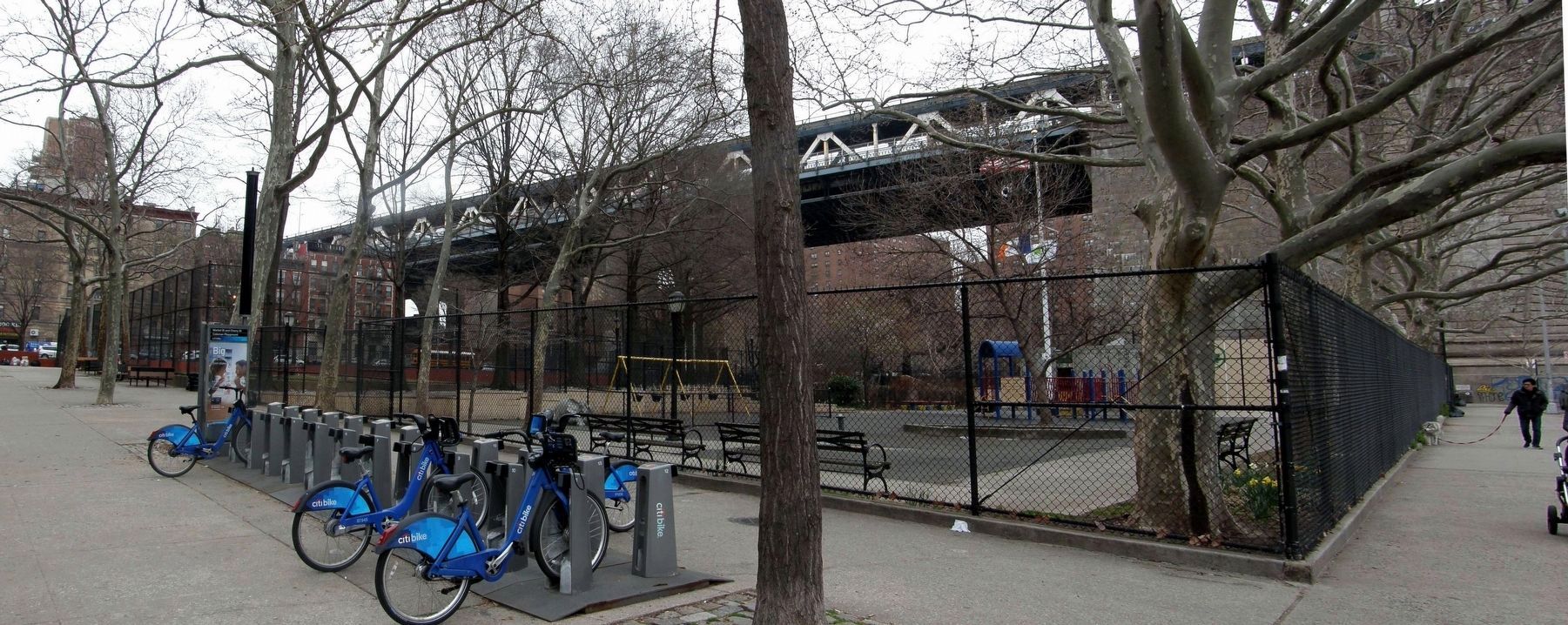
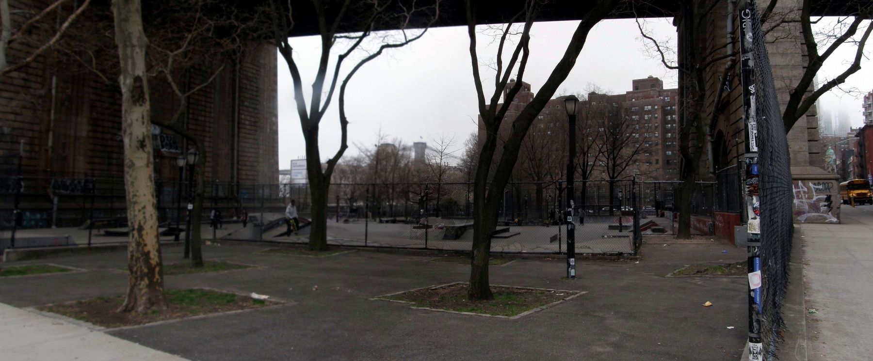
Part of Coleman Square Playground stands under the shadow of the Manhattan Bridge, a two-level steel suspension bridge designed by Leon Moisseiff (1871-1904) and completed in 1909. The bridge is 6.855 feet long, with a main span of 1,470 feet. The architectural firm of Carrere and Hastings designed the grand arch and flanking colonnades that mark the entrance to the bridge on Canal Street.
Acquired by condemnation and by purchase in six parcels between 1897 and 1950, Coleman Square Playground includes a large playground and a grassy ballfield. Between 1907 and 1969,m Parks assumed jurisdiction over the various parcels of land. By 1970, the park reached its present size. In 1994, the ballfield was named Phylis M. Ammirati ballfield in honor of the founder of the parkís womenís softball league. Taken all together, Coleman Square Playground in not only a place of rest and recreation for people of all ages, but also a memorial to a neighborhood boy who fought in the Great War.
City of New York Parks and Recreation
Michael R. Bloomberg, Mayor
Adrian Benepe, Commissioner
June 2004
www.nyc.gov/parks
Erected 2004 by NYC Parks.
Topics. This historical marker is listed in these topic lists: Cemeteries & Burial Sites • Churches & Religion • Parks & Recreational Areas • War, World I. A significant historical date for this entry is June 16, 1919.
Location.
40° 42.642′ N, 73° 59.605′ W. Marker is in Manhattan, New York, in New York County. It is in Two Bridges. Marker is on Cherry Street near Market Street, on the right when traveling south. Touch for map. Marker is in this post office area: New York NY 10002, United States of America. Touch for directions.
Other nearby markers. At least 8 other markers are within walking distance of this marker. Market Street (about 600 feet away, measured in a direct line); Manhattan Bridge (about 700 feet away); Catherine Mall Market (approx. 0.2 miles away); History of Catherine Slip (approx. 0.2 miles away); Catherine Mall (approx. 0.2 miles away); Catherine Slip Malls (approx. 0.2 miles away); Alfred E. Smith Playground (approx. 0.2 miles away); The First Chinese Presbyterian Church (approx. 0.2 miles away). Touch for a list and map of all markers in Manhattan.
Credits. This page was last revised on January 31, 2023. It was originally submitted on April 10, 2019, by Larry Gertner of New York, New York. This page has been viewed 137 times since then and 14 times this year. Photos: 1, 2, 3. submitted on April 10, 2019, by Larry Gertner of New York, New York. • Bill Pfingsten was the editor who published this page.


