Waverly in Lafayette County, Missouri — The American Midwest (Upper Plains)
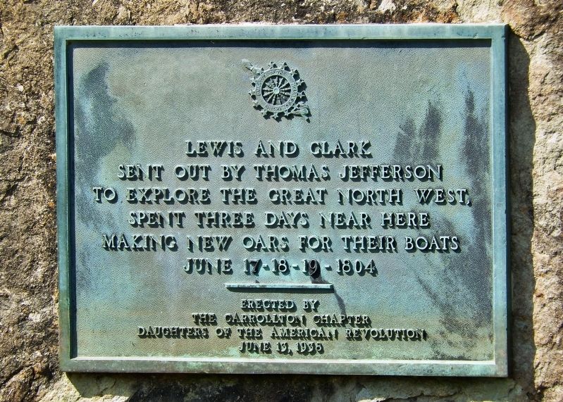
Lewis and Clark
Erected 1938 by Carrollton Chapter, Daughters of the American Revolution.
Topics and series. This historical marker is listed in these topic lists: Exploration • Waterways & Vessels. In addition, it is included in the Daughters of the American Revolution, the Former U.S. Presidents: #03 Thomas Jefferson, and the Lewis & Clark Expedition series lists. A significant historical date for this entry is June 17, 1804.
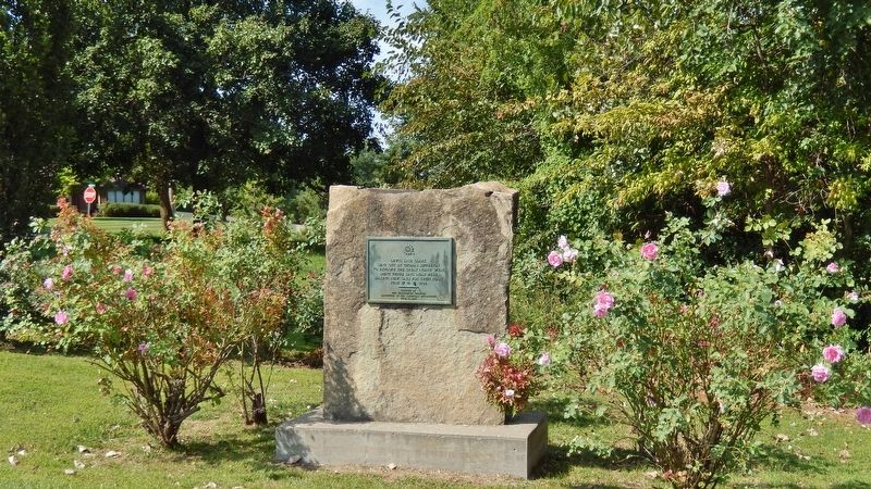
Location. 39° 12.748′ N, 93° 30.921′ W. Marker is in Waverly, Missouri, in Lafayette County. Marker is at the intersection of West Thomas Drive and Old Bridge Street, on the left when traveling east on West Thomas Drive. Marker is mounted at waist-level on a stone monument located near the northwest corner of the intersection. Touch for map. Marker is in this post office area: Waverly MO 64096, United States of America. Touch for directions.
Other nearby markers. At least 8 other markers are within 12 miles of this marker, measured as the crow flies. The Lewis and Clark Expedition Across Missouri (about 600 feet away, measured in a direct line); Port of Waverly (about 600 feet away); Gen. Joseph O. Shelby Park (approx. ¼ mile away); Santa Fe Trail (approx. 9½ miles away); Court House Bell (approx. 10.1 miles away); General James Shields (approx. 10.1 miles away); Trail of Death (approx. 10.7 miles away); a different marker also named General James Shields (approx. 11.9 miles away). Touch for a list and map of all markers in Waverly.
Also see . . . Journals of the Lewis & Clark Expedition, June 18, 1804. Some rain last night… we continue to repare our ropes & make oars all day, heavy rain all the fore pt. of the day, the party Drying meat & greesing themselves, Several men with the Disentary, and two thirds of them with ulsers or Boils, Some with 8 or 10 of those Tumers… Mesquetors verry bad… we finish our Cords & oars this evening… [Clark] (Submitted on April 11, 2019, by Cosmos Mariner of Cape Canaveral, Florida.)
Credits. This page was last revised on August 5, 2020. It was originally submitted on April 10, 2019, by Cosmos Mariner of Cape Canaveral, Florida. This page has been viewed 193 times since then and 10 times this year. Photos: 1, 2. submitted on April 11, 2019, by Cosmos Mariner of Cape Canaveral, Florida.

