NoHo in Manhattan in New York County, New York — The American Northeast (Mid-Atlantic)
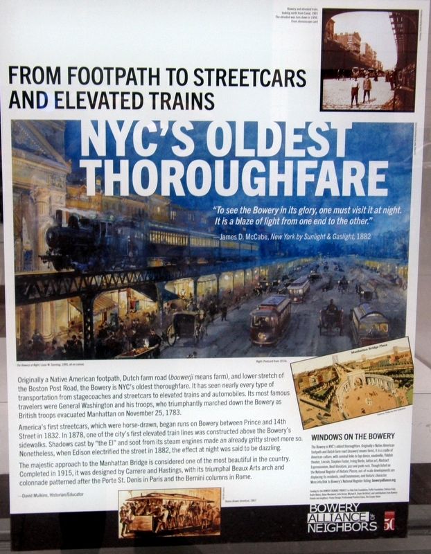
NYC’s Oldest Thoroughfare
From Footpath to Streetcars and Elevated Trains
Inscription.
“To see the Bowery in its glory, one must visit it at night. It is a blazer of light from one end to the other.”
-James D.McCabe, New York by Sunlight and Gaslight, 1882
Originally a Native American footpath, Dutch farm road (bouwerji means farm), and lower stretch of the Boston Post Road, the Bowery is NYC’s oldest thoroughfare. It has seen nearly every type of transportation from stagecoaches and street cars to elevated trains and automobiles. Its most famous travelers were General Washington and his troops, who triumphantly marched down the Bowery as British troops evacuated Manhattan on November 25, 1783.
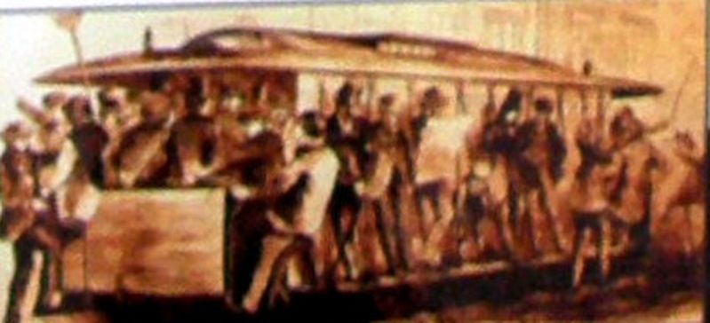
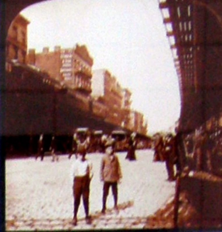
America’s first streetcars, which were horse-drawn, began runs on Bowery between Prince and 14th Street in 1832. In 1878, one of the city’s first elevated train lines was constructed above the Bowery’s sidewalks. Shadows cast by “the El” ands soot from its steam engines made an already gritty street more so. Nonetheless, when Edison electrified the street in 1882, the effect at night was said to be dazzling.
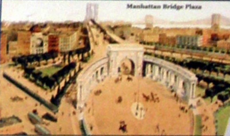
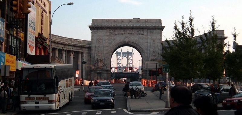
The majestic approach to the Manhattan bridge is considered one of the most beautiful in the country. Completed in 1915, it was designed by Carrere and Hastings, with its triumphal Beaux Arts arch and colonnade patterned after the Porte St. Denis in Paris and the Bernini columns in Rome.
Erected by Bowery Alliance of Neighbors.
Topics and series. This historical marker is listed in this topic list: Roads & Vehicles. In addition, it is included in the Former U.S. Presidents: #01 George Washington series list. A significant historical date for this entry is November 25, 1783.
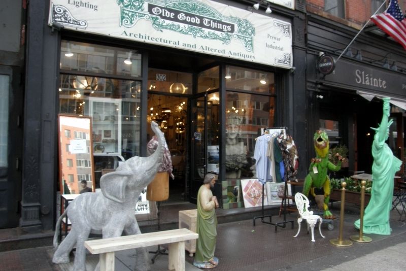
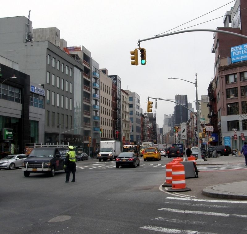
Location. 40° 43.482′ N, 73° 59.558′ W. Marker is in Manhattan, New York, in New York County. It is in NoHo. Marker is on Bowery near E. 1st Street & E. Houston Street, on the right when traveling south. Touch for map. Marker is at or near this postal address: 302 Bowery, New York NY 10012, United States of America. Touch for directions.
Other nearby markers. At least 8 other markers are within walking distance of this marker. From Baseball to Houdini (a few steps from this marker); 21st Century Fashion In A 21st Century House (a few steps from this marker); McGurk’s Suicide Hall (within shouting distance of this marker); Liz Christie Garden (within shouting distance of this marker); Hats, Hardware & Horses (within shouting distance of this marker); CBGB (within shouting distance of this marker); Alexander’s Musee (about 300 feet away, measured in a direct line); World’s Smallest Opera House (about 300 feet away). Touch for a list and map of all markers in Manhattan.
More about this marker. One of more than sixty entries in the “Windows on the Bowery” series. This particular marker appears at buildings that do not have a site-specific marker, though it can be found in conjunction with those that do.
Credits. This page was last revised on January 31, 2023. It was originally submitted on April 11, 2019, by Larry Gertner of New York, New York. This page has been viewed 565 times since then and 201 times this year. Photos: 1, 2, 3, 4, 5, 6. submitted on April 11, 2019, by Larry Gertner of New York, New York. 7. submitted on April 14, 2019, by Larry Gertner of New York, New York. • Bill Pfingsten was the editor who published this page.
