Santa María del Río, San Luis Potosí, Mexico — The Northeast (and Central Highlands)
Martín Bautista Square
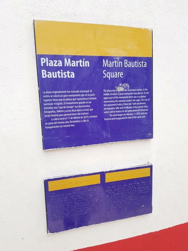
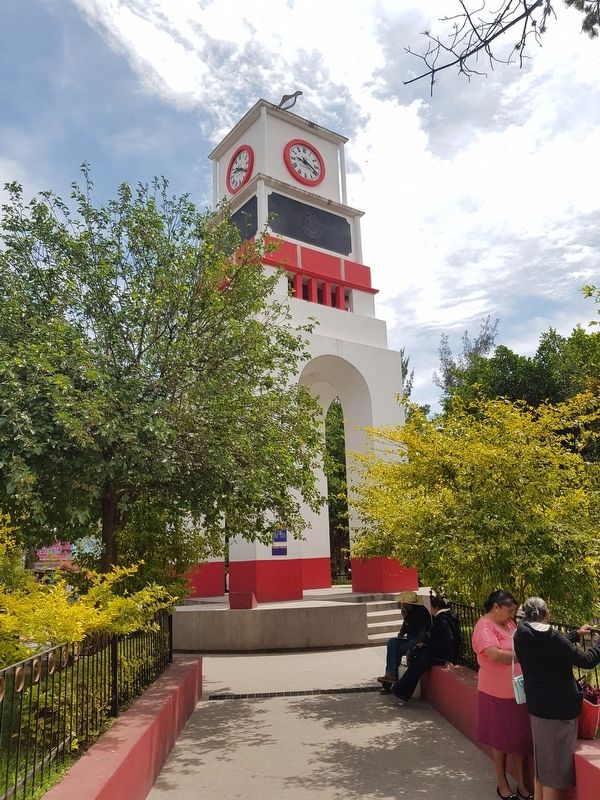
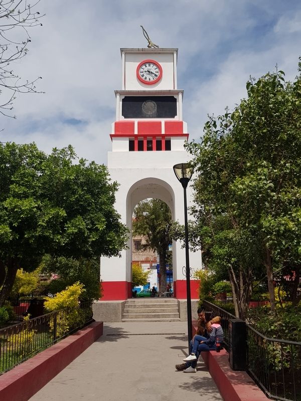
La plaza originalmente fue mercado municipal. Al centro se colocó un gran monumento que en la parte superior tiene una escultura que representa el símbolo nacional: el águila. El monumento guarda en sus entrañas una "caja de tiempo" con documentos, fotografias, billetes y actas de la época actual, que serán historia para generaciones del mañana.
La obra inició el 11 de febrero de 2010 y terminó en junio del mismo año, llevándose a cabo la inauguración ese mismo mes.
Martín Bautista Square
The plaza was originally the municipal market, in the middle of which a great monument was placed. On the upper part of this monument there was a sculpture representing the national symbol: the eagle. The core of the monument holds a “time box” with documents, photographs, bills and certificates of the current time which will be history for the generations of tomorrow.
The work began on February 11, 2010 and was finished and inaugurated in June of the same year.
Topics. This historical marker is listed in these topic lists: Industry & Commerce • Parks & Recreational Areas. A significant historical date for this entry is February 11, 2010.
Location. 21° 47.98′ N, 100° 44.13′ W. Marker is in Santa María del Río, San Luis Potosí. Marker is on Esparragoza just north of Melchor Ocampo, on the right when traveling north. Touch for map. Marker is in this post office area: Santa María del Río SL 79560, Mexico. Touch for directions.
Other nearby markers. At least 8 other markers are within walking distance of this marker. Former Franciscan Convent (within shouting distance of this marker); Parish of Our Lady of the Assumption (about 90 meters away, measured in a direct line); Santísimo Chapel (about 90 meters away); Building of the Convents of Santa María del Río (about 90 meters away); a different marker also named Parish of Our Lady of the Assumption (about 120 meters away); Hidalgo Garden (about 120 meters away); Dividing Line Between Otomíes and Guachichiles (about 150 meters away); Primo Feliciano Velázquez Rodríguez (about 180 meters away). Touch for a list and map of all markers in Santa María del Río.
Credits. This page was last revised on April 14, 2019. It was originally submitted on April 14, 2019, by J. Makali Bruton of Accra, Ghana. This page has been viewed 119 times since then and 23 times this year. Photos: 1, 2, 3. submitted on April 14, 2019, by J. Makali Bruton of Accra, Ghana.


