Santa María del Río, San Luis Potosí, Mexico — The Northeast (and Central Highlands)
Dividing Line Between Otomíes and Guachichiles
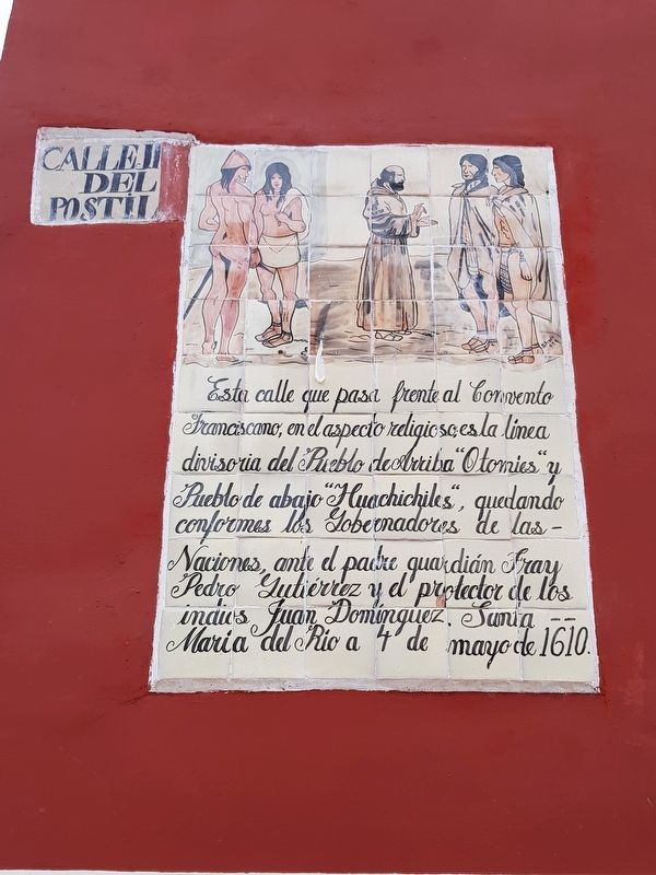
Inscription.
Santa María del Río a 4 de mayo de 1610.
This street that passes in front of the Franciscan Convent in religious terms is the dividing line between the Upper Town of the Otomíes and the Lower Town of the Huachichiles, according to the leaders of both groups in an agreement before the Priest-Guardian Friar Pedro Gutiérrez and the Protector of the Indians Juan Domínguez.
Santa María del Río, May 4, 1610
Erected 1999.
Topics. This historical marker is listed in these topic lists: Colonial Era • Native Americans • Settlements & Settlers. A significant historical date for this entry is May 4, 1610.
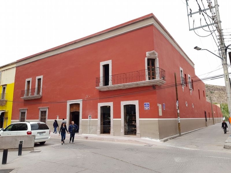
Location. 21° 48.047′ N, 100° 44.173′ W. Marker is in Santa María del Río, San Luis Potosí. Marker is at the intersection of María Dolores Jiménez y Muro and Calle Pascual M. Hernández Segura, on the left when traveling north on María Dolores Jiménez y Muro. Touch for map. Marker is in this post office area: Santa María del Río SL 79560, Mexico. Touch for directions.
Other nearby markers. At least 8 other markers are within walking distance of this marker. Parish of Our Lady of the Assumption (within shouting distance of this marker); Hidalgo Garden (within shouting distance of this marker); Santísimo Chapel (within shouting distance of this marker); Building of the Convents of Santa María del Río (within shouting distance of this marker); a different marker also named Parish of Our Lady of the Assumption (within shouting distance of this marker); Primo Feliciano Velázquez Rodríguez (within shouting distance of this marker); The Parochial School of Music (within shouting distance of this marker); Otomíes and Guachichiles (about 90 meters away, measured in a direct line). Touch for a list and map of all markers in Santa María del Río.
Credits. This page was last revised on April 14, 2019. It was originally submitted on April 14, 2019, by J. Makali Bruton of Accra, Ghana. This page has been viewed 93 times since then and 11 times this year. Photos: 1, 2. submitted on April 14, 2019, by J. Makali Bruton of Accra, Ghana.

