Margaretville in Delaware County, New York — The American Northeast (Mid-Atlantic)
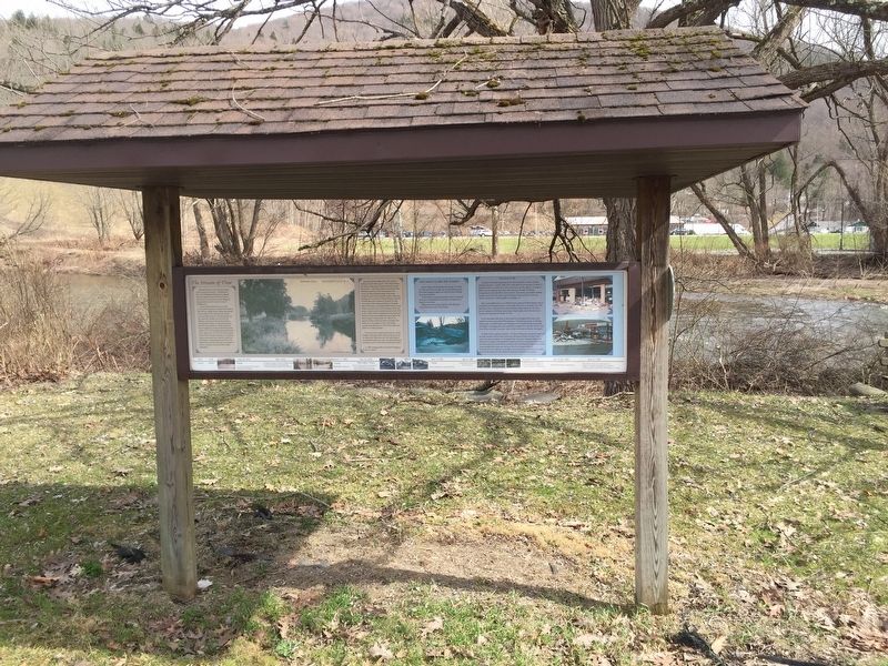
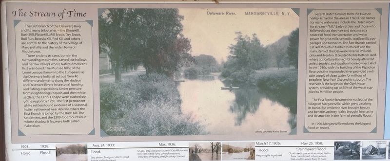
The Stream of Time
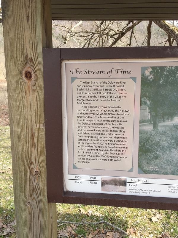
These ancient streams, born in the surrounding mountains, carved the hollows and narrow valleys where Native Americans first wandered. The Munsee tribe of the Lenni Lenape (known to the Europeans as the Delaware Indians) set out from 40 different settlements along the Hudson and Delaware Rivers in seasonal hunting and fishing expeditions. Under pressure from neighboring Iroquois and then white settlers, the Lenni Lenape were pushed out of the region by 1730.The first permanent white settlers found evidence of a seasonal Indian settlement near Arkville, where the East Branch is joined by the Bush Kill. The settlement, and the 2300-foot mountain in whose shadow it lay, were both called Pakatakan.
Several Dutch families from the Hudson Valley arrived in the area in 1763. Their names for many waterways include the Dutch word for stream -"kill." Early settlers and those who followed used the river and streams as a source of food, transportation, and water power for grist mills, sawmills, textile mills, cooperages, and tanneries. The East Branch carried Catskill timber to markets in Philadelphia and Trenton. It created fertile bottom land where agriculture thrived. Its beauty attracted artists, tourists, and vacation home owners. And in the 1950's, with the building of the Pepacton Reservoir, the impounded water provided a reliable supply of clean water for millions of people in New York City and its suburbs. The reservoir is the largest in the City's water system, providing up to 25% of the water supplied to 9 million people.
The East Branch became the nucleus of the Village of Margaretville, which grew up along its banks. But while the river brought beauty and benefits aplenty, it also brought heartache and destruction in the form of periodic floods.
In 1996, Margaretville endured the biggest flood on record.
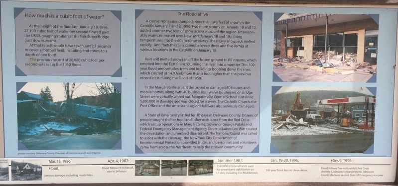
How Much is a cubic foot of water?
At the height of the of the flood of January 19, 1996, 27, 100 cubic feet of water per second past the USGS gauging station at the Fair Street Bridge just downtown.
At that rate, it would have taken just 2.1 seconds to cover a football field, including endzones, to a depth a one foot!
The previous record of 20,600 cubic feet per second was set in the the 1950 flood.
The Flood of '96
A classic Nor'easter dumped more than two feet of snow on the Catskills January 7 and 8, 1996. Two more storms, on January 10 and 12, added another two feet of snow across the much of the region. Unseasonably warm air passed over New York January 18 and 19 raising temperatures into the the 60's in some places. The heavy snowpack melted rapidly. And then the rains came, between three and five inches at various locations in the Catskills on January 19.
Rain and snow ran off the frozen ground to fill streams, which emptied into the East Branch, turning the river into a monster. This 100-year flood sent vehicles , trees, and buildings bobbing down the river, which crested at 14.9 feet, more than a foot higher than the previous crest during the Flood of 1950.
In the Margaretville area, it destroyed or damaged 50 houses and mobile homes, along with 40 businesses. Twelve businesses on Bridge Street were virtually wiped out. Margaretville Central School District sustained $300,000 in damage and was closed for a week. The Catholic Church, the Post Office, and the American Legion Hall were seriously damaged.
A State of Emergency lasted for 10 days in Delaware County. Dozens of people sought shelter, food, and other assistance from the Red Cross which set up operations in Margaretville. Governor George Pataki and Federal Emergency Management Agency James Lee Witt toured the devastation and promised disaster aid. The National Guard was called to assist with the clean up, the New York City Department of Environmental Protection provided trucks and personnel and volunteers came from across the Northeast to help the stricken community
Topics. This historical marker is listed in these topic lists: Disasters • Native Americans • Settlements & Settlers • Waterways & Vessels. A significant historical year for this entry is 1730.
Location. 42° 8.734′ N, 74° 39.142′ W. Marker is in Margaretville, New York, in Delaware County. Marker is on Main Street, on the left when traveling west. Marker stands across the street from Margaretville Central School. Touch for map. Marker is in this post office area: Margaretville NY 12455, United States of America. Touch for directions.
Other nearby markers. At least 8 other markers are within 2 miles of this marker, measured as the crow flies. The Buy-Out Program (a few steps from this marker); A Village Transformed (a few steps from this marker); Welcome to Historic Margaretville! (approx. ¼ mile away); Lodges Organized in Middletown (approx. ¼ mile away); Margaretville (approx. 0.3 miles away); Margaretville War Memorial (approx. 0.4 miles away); Middletown Settlement (approx. ¾ mile away); Stone School House (approx. 2 miles away). Touch for a list and map of all markers in Margaretville.
Credits. This page was last revised on April 17, 2019. It was originally submitted on April 15, 2019, by Steve Stoessel of Niskayuna, New York. This page has been viewed 222 times since then and 27 times this year. Photos: 1. submitted on April 15, 2019, by Steve Stoessel of Niskayuna, New York. 2, 3, 4. submitted on April 16, 2019, by Steve Stoessel of Niskayuna, New York. • Bill Pfingsten was the editor who published this page.


