Millcreek Township near Erie in Erie County, Pennsylvania — The American Northeast (Mid-Atlantic)
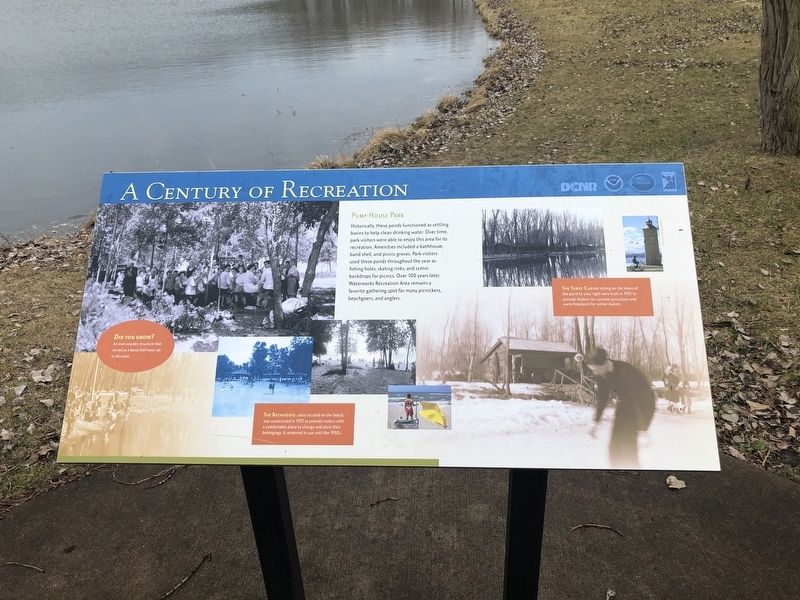
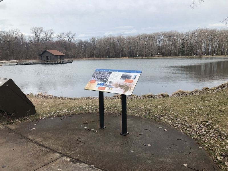
A Century of Recreation
Pump House Park
Historically, these ponds functioned as settling basins to help clean drinking water. Over time, park visitors were able to enjoy this area for its recreation. Amenities included a bathhouse, band shell, and picnic groves. Park visitors used these ponds throughout the year as fishing holes, skating rinks, and scenic backdrops for picnics. Over 100 years later, Waterworks Recreation Area remains a favorite gathering spot for many picnickers, beachgoers, and anglers.
[Captions:]
Did you know?
An oval wooden structure that served as a band shell once sat in this area.
The Bathhouse, once located on the beach, was constructed in 1923 to provide visitors with a comfortable place to change and store their belongings. It remained in use until the 1950's.
The Three Cabins sitting on the shore of the pond to your right were built in 1935 to provide shelters for summer picnickers and warm fireplaces for winter skaters.
Erected by Pennsylvania Department of Conservation & Natural Resources.
Topics. This historical marker is listed in this topic list: Parks & Recreational Areas. A significant historical year for this entry is 1923.
Location. 42° 8.948′ N, 80° 7.999′ W. Marker is near Erie, Pennsylvania, in Erie County. It is in Millcreek Township. Marker is on Peninsula Drive, on the right when traveling south. Touch for map. Marker is in this post office area: Erie PA 16507, United States of America. Touch for directions.
Other nearby markers. At least 8 other markers are within 2 miles of this marker, measured as the crow flies. The Pump House (about 300 feet away, measured in a direct line); Expanding Erie (approx. 0.2 miles away); Presque Isle (approx. half a mile away); The Old Road (approx. 0.7 miles away); Five Courses Thick (approx. 1˝ miles away); The Loneliest Place on Earth (approx. 1˝ miles away); The Peninsula's First Roadway (approx. 1˝ miles away); The Flashlight (approx. 1˝ miles away). Touch for a list and map of all markers in Erie.
Credits. This page was last revised on February 7, 2023. It was originally submitted on April 16, 2019, by Devry Becker Jones of Washington, District of Columbia. This page has been viewed 95 times since then and 5 times this year. Photos: 1, 2. submitted on April 16, 2019, by Devry Becker Jones of Washington, District of Columbia.

