San Luis Potosí, Mexico — The Northeast (and Central Highlands)
Aranzazú Square
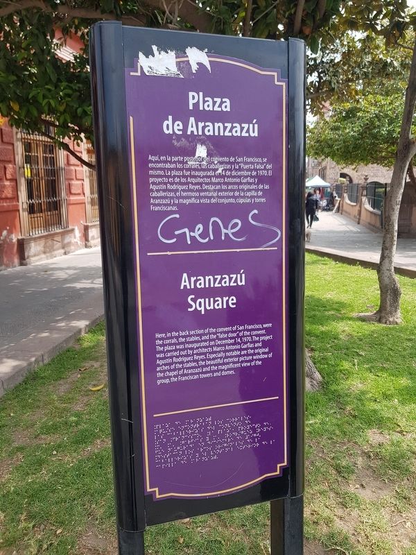
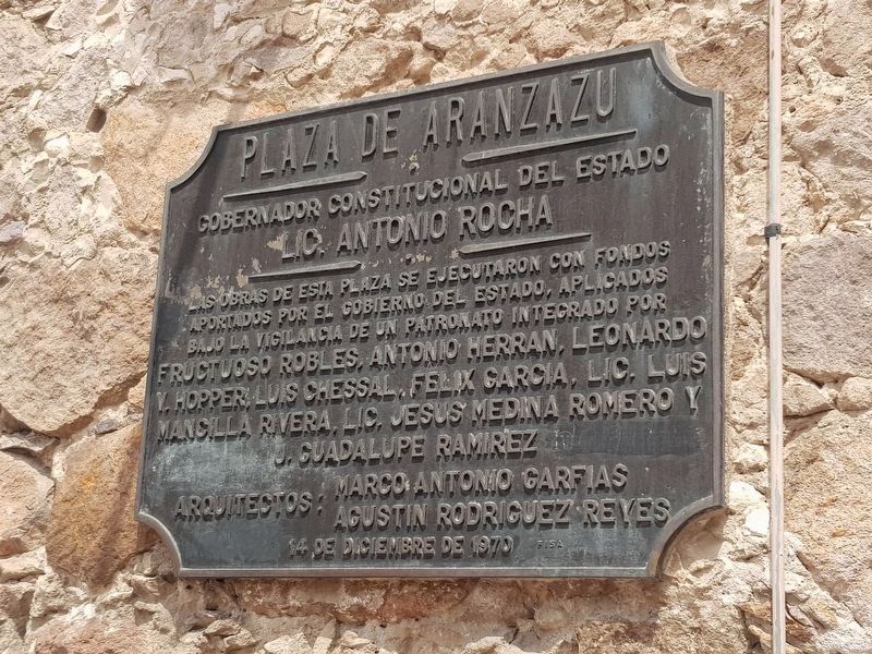
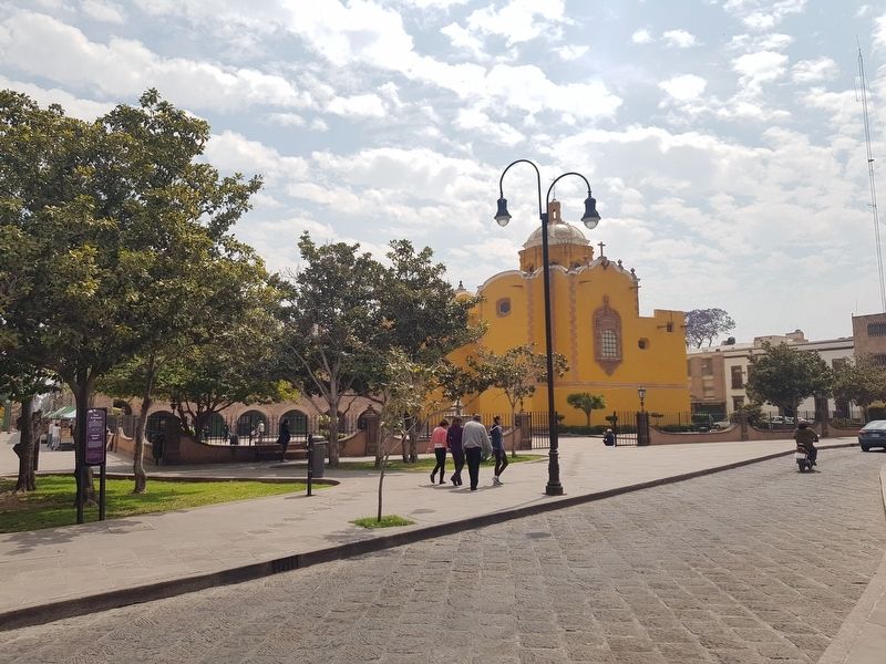
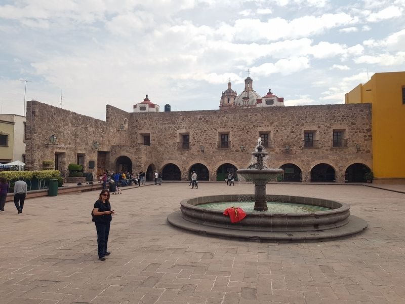
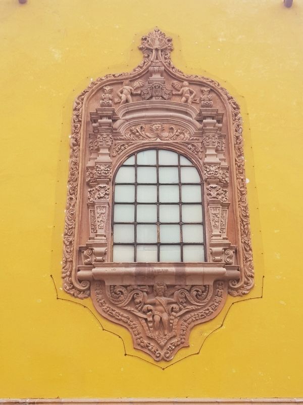
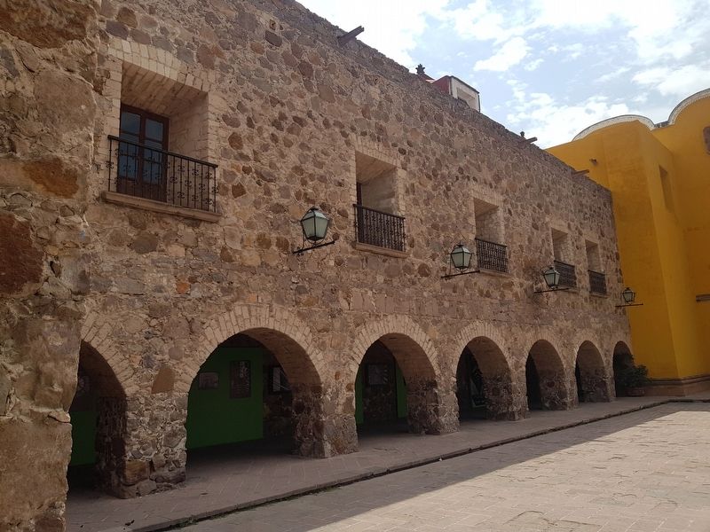
Aquí, en la parte posterior del convento de San Francisco, se encontraban los corrales, las caballerizas y la “Puerta Falsa” del mismo. La plaza fue inaugurada er 14 de diciembre de 1970. El proyecto es de los Arquitectos Marco Antonio Garfias y Agustín Rodríguez Reyes. Destacan los arcos originales de las caballerizas, el hermoso ventanal exterior de la capilla de Aranzazú y la magnífica vista del conjunto, cúpulas y torres Franciscanas.
Aranzazú Square
Here, in the back section of the convent of San Francisco, were the corrals, the stables, and the “false door” of the convent. The plaza was inaugurated on December 14, 1970. The project was carried out by architects Marco Antonio Garfias and Agustín Rodríguez Reyes. Especially notable are the stables, the beautiful exterior picture window of the chapel of Aranzazú and the magnificent view of the group, the Franciscan towers and domes.
Topics. This historical marker is listed in these topic lists: Churches & Religion • Colonial Era • Man-Made Features • Parks & Recreational Areas. A significant historical date for this entry is December 14, 1970.
Location. 22° 8.947′ N, 100° 58.736′ W. Marker is in San Luis Potosí. Marker is at the intersection of Calle Independencia and Avenida Universidad, on the left when traveling south on Calle Independencia. Touch for map. Marker is in this post office area: San Luis Potosí 78000, Mexico. Touch for directions.
Other nearby markers. At least 8 other markers are within walking distance of this marker. Central Christian Church (within shouting distance of this marker); National Presbyterian Church (about 150 meters away, measured in a direct line); Our Lady of Remedies Temple / The Third Order Temple / San Francisco Temple (about 150 meters away); Guerrero Garden (about 180 meters away); Church and Ex-Convent of San Francisco (about 180 meters away); Camino Real de Tierra Adentro (about 180 meters away); Monument to Vicente Guerrero (about 180 meters away); La Lonja Society of San Luis Potosí (approx. 0.2 kilometers away). Touch for a list and map of all markers in San Luis Potosí.
Credits. This page was last revised on April 17, 2019. It was originally submitted on April 16, 2019, by J. Makali Bruton of Accra, Ghana. This page has been viewed 121 times since then and 6 times this year. Photos: 1. submitted on April 16, 2019, by J. Makali Bruton of Accra, Ghana. 2. submitted on April 17, 2019, by J. Makali Bruton of Accra, Ghana. 3, 4, 5, 6. submitted on April 16, 2019, by J. Makali Bruton of Accra, Ghana.
