Santiago de Querétaro in Querétaro, Mexico — The Central Highlands (North America)
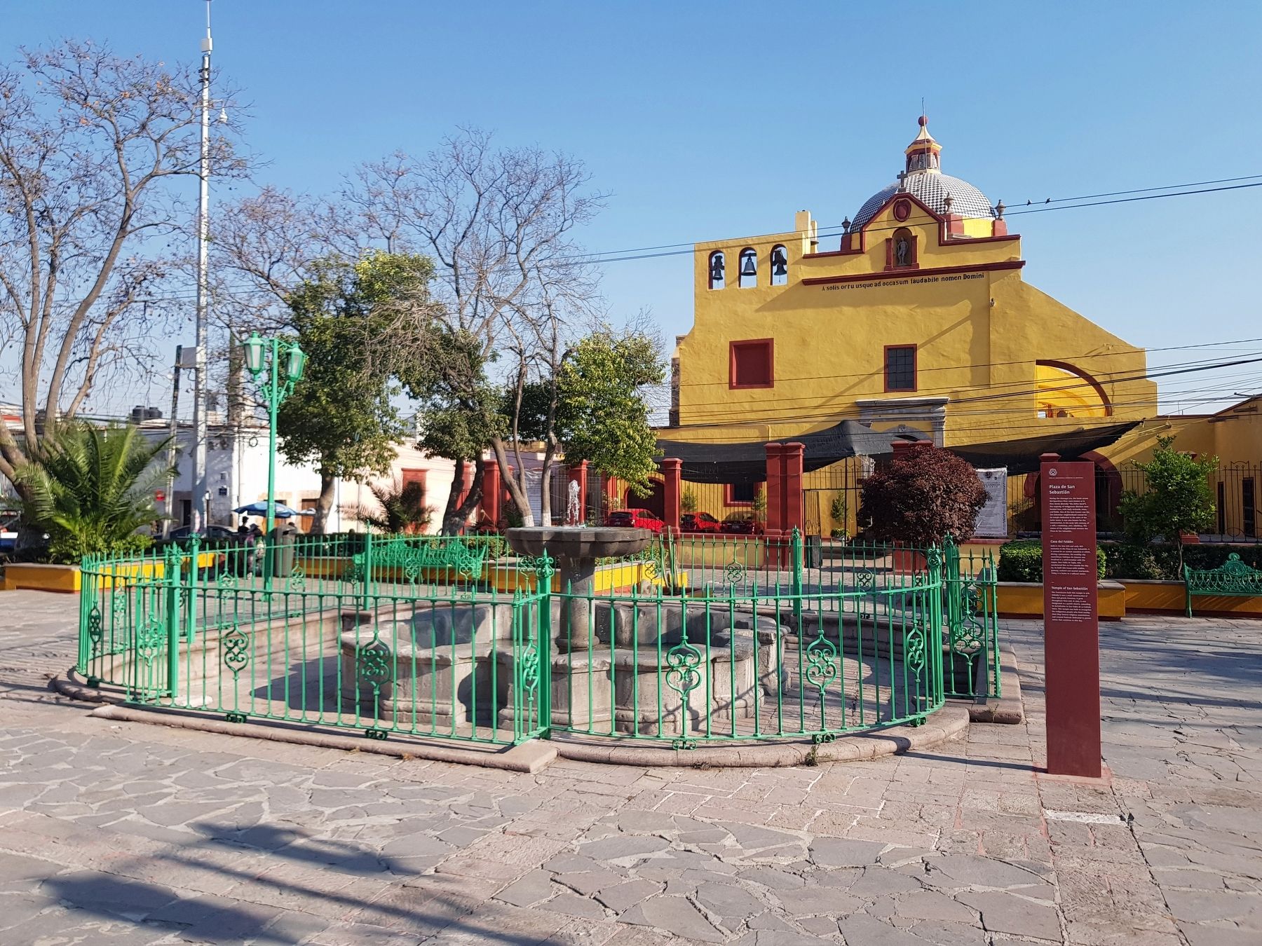
Plaza de San Sebastián / Casa del Faldón / Temple of San Sebastián
Inscription.
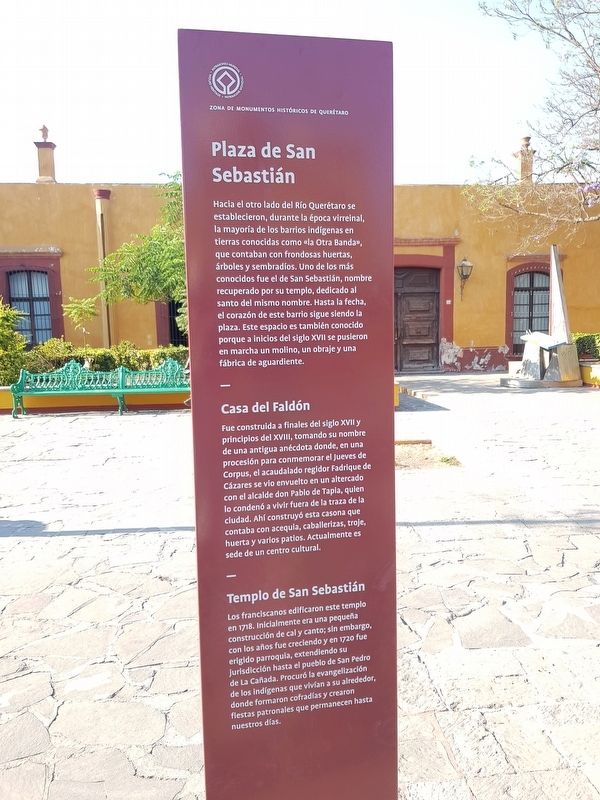
Hacia el otro lado del Río Querétaro se establecieron, durante la época virreinal, la mayoría de los barrios indígenas en tierras conocidas como «la Otra Banda», que contaban con frondosas huertas, árboles y sembradíos. Uno de los más conocidos fue el de San Sebastián, nombre recuperado por su templo, dedicado al santo del mismo nombre. Hasta la fecha, el corazón de este barrio sigue siendo la plaza. Este espacio es también conocido porque a inicios del siglo XVII se pusieron en marcha un molino, un obraje y una fábrica de aguardiente.
Casa del Faldón
Fue construida a finales del siglo XVII y principios del XVIII, tomando su nombre de una antigua anécdota donde, en una procesión para conmemorar el Jueves de Corpus, el acaudalado regidor Fadrique de Cázares se vio envuelto en un altercado con el alcalde don Pablo de Tapia, quien lo condenó a vivir fuera de la traza de la ciudad. Ahí construyó esta casona que contaba con acequia, caballerizas, troje, huerta y varios patios. Actualmente es sede de un centro cultural.
Templo de San Sebastián
Los franciscanos edificaron este templo en 1718. Inicialmente era una pequeña construcción de cal y canto; sin embargo, con los años fue creciendo y en 1720 fue erigido parroquia, extendiendo su jurisdicción hasta el pueblo de San Pedro de La Cañada. Procuró la evangelización de los indígenas que vivían a su alrededor, donde formaron cofradías y crearon fiestas patronales que permanecen hasta nuestros días.
Plaza de San Sebastián
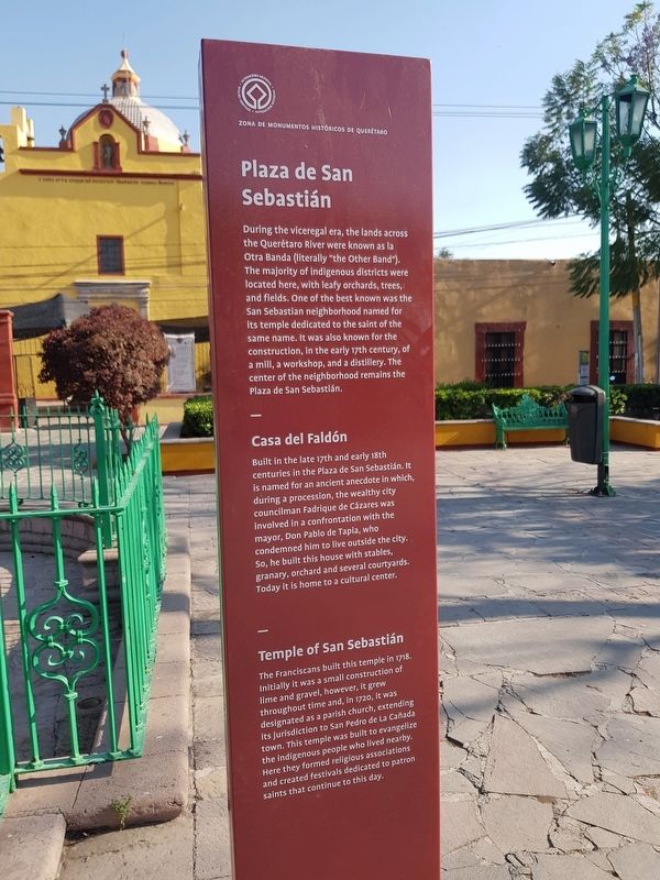
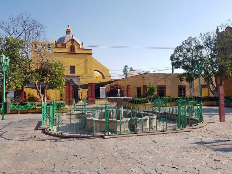
During the viceregal era, the lands across the Querétaro River were known as la Otra Banda (literally "the Other Band"). The majority of indigenous districts were located here, with leafy orchards, trees, and fields. One of the best known was the San Sebastian neighborhood named for its temple dedicated to the saint of the same name. It was also known for the construction, in the early 17th century, of a mill, a workshop, and a distillery. The center of the neighborhood remains the Plaza de San Sebastián.
Casa del Faldón
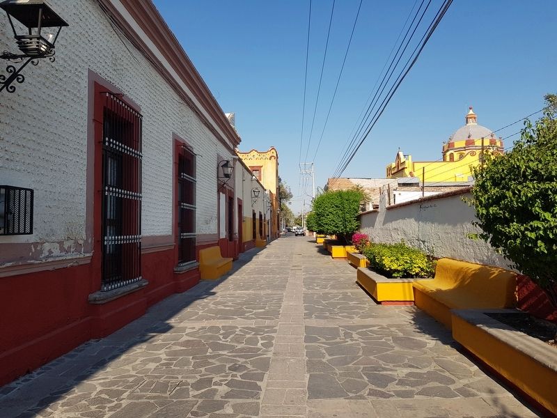
Built in the late 17th and early 18th centuries in the Plaza de San Sebastián. It is named for an ancient anecdote in which, during a procession, the wealthy city councilman Fadrique de Cázares was involved in a confrontation with the mayor, Don Pablo de Tapia, who condemned him to live outside the city. So, he built this house with stables, granary, orchard and several courtyards. Today it is home
to a cultural center.
Temple of San Sebastián
The Franciscans built this temple in 1718. Initially it was a small construction of lime and gravel, however, it grew throughout time and, in 1720, it was designated as a parish church, extending its jurisdiction to San Pedro de La Cañada town. This temple was built to evangelize the indigenous people who lived nearby. Here they formed religious associations and created festivals dedicated to patron saints that continue to this day.
Erected 2018 by Municipalidad de Querétaro.
Topics. This historical marker is listed in these topic lists: Churches & Religion • Colonial Era • Man-Made Features • Settlements & Settlers. A significant historical year for this entry is 1718.
Location. 20° 36.031′ N, 100° 23.571′ W. Marker is in Santiago de Querétaro, Querétaro. Marker is on Calle Primavera just east of Prolongación Corregidora Norte, on the left when traveling east. Calle Primavera is pedestrian-only on this block. Touch for map. Marker is in this post office area: Santiago de Querétaro QUE 76165, Mexico. Touch for directions.
Other nearby markers. At least 8 other markers are within walking distance of this marker. The Garden of the Children Heroes of Chapultepec (a few steps from this marker); Chapel of the Holy Cross (about 210 meters away, measured in a direct line); The Chameleon Fountain (approx. 0.3 kilometers away); The Querétaro Railroad Station
(approx. 0.4 kilometers away); Old Railway Station (approx. 0.4 kilometers away); Chapel of the Most Holy Trinity (approx. 0.6 kilometers away); House of Mariano Lara (approx. 0.6 kilometers away); Temple and Convent of Our Lady of Mount Carmel (approx. 0.6 kilometers away). Touch for a list and map of all markers in Santiago de Querétaro.
Credits. This page was last revised on April 17, 2019. It was originally submitted on April 17, 2019, by J. Makali Bruton of Accra, Ghana. This page has been viewed 223 times since then and 5 times this year. Photos: 1, 2, 3, 4, 5. submitted on April 17, 2019, by J. Makali Bruton of Accra, Ghana.
