Crawfordsville in Montgomery County, Indiana — The American Midwest (Great Lakes)
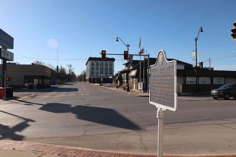
Federal Land Office
Inscription.
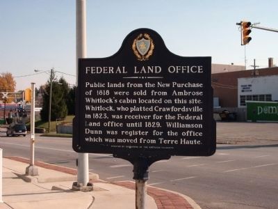
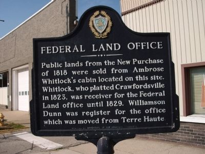
Public lands from the New Purchase of 1818 were sold from Ambrose Whitlock's cabin located on this site.
Whitlock, who platted Crawfordsville in 1823, was receiver for the Federal Land Office until 1829.
Williamson Dunn was register for the office which was moved from Terre Haute.
Erected by Daughters of the American Colonists.
Topics and series. This historical marker is listed in these topic lists: Industry & Commerce • Settlements & Settlers. In addition, it is included in the Daughters of the American Colonists series list. A significant historical year for this entry is 1818.
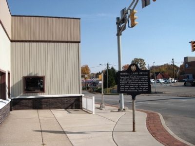
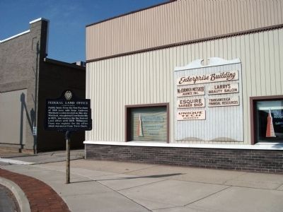
Location. 40° 2.581′ N, 86° 53.91′ W. Marker is in Crawfordsville, Indiana, in Montgomery County. Marker is at the intersection of East Market Street (U.S. 136) and Water Street, on the left when traveling east on East Market Street. In front of "Enterprise Building". Touch for map. Marker is at or near this postal address: 302 East Market Street, Crawfordsville IN 47933, United States of America. Touch for directions.
Other nearby markers. At least 8 other markers are within walking distance of this marker. Otto Schlemmer Building (about 400 feet away, measured in a direct line); Howdy Wilcox (about 500 feet away); Montgomery County's Tribute to her Heroic Dead (approx. 0.2 miles away); Montgomery County Rotary Jail (approx. 0.2 miles away); The Elston Homestead (approx. 0.2 miles away); Cradle of Basketball (approx. 0.2 miles away); Saint John's Episcopal Church (approx. 0.2 miles away); Major General Lew Wallace (approx. ¼ mile away). Touch for a list and map of all markers in Crawfordsville.
Also see . . .
1. Major Ambrose Whitlock - A Ranger. The history of Crawfordsville and Major Whitlock are briefly outlined. (Submitted on November 3, 2008, by Al Wolf of Veedersburg, Indiana.)
2. History of Whitlock's Activities. The "Field Book" of the well known author Benson J Lossing has a good start on Whitlock's Biography. More research may be rewarding. (Submitted on November 3, 2008, by Al Wolf of Veedersburg, Indiana.)
Credits. This page was last revised on December 30, 2023. It was originally submitted on November 3, 2008, by Al Wolf of Veedersburg, Indiana. This page has been viewed 1,371 times since then and 22 times this year. Photos: 1, 2, 3, 4. submitted on November 3, 2008, by Al Wolf of Veedersburg, Indiana. 5. submitted on November 19, 2023, by Trevor L Whited of Kokomo, Indiana. • Kevin W. was the editor who published this page.
