Near Peebles in Adams County, Ohio — The American Midwest (Great Lakes)
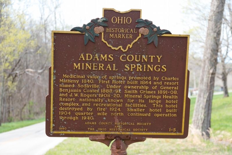
Adams County Mineral Springs
Erected 1980 by Adams County Historical Society and The Ohio Historical Society. (Marker Number 1-5.)
Topics. This historical marker is listed in these topic lists: Natural Resources • Science & Medicine. A significant historical year for this entry is 1840.
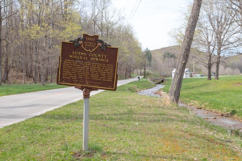
Location. 38° 52.79′ N, 83° 19.686′ W. Marker is near Peebles, Ohio, in Adams County. Marker is on Mineral Springs Road (County Route 18) north of Garnet Shiveley Road, on the right when traveling south. It is across from the springs. Touch for map. Marker is at or near this postal address: 6323 Mineral Springs Rd, Peebles OH 45660, United States of America. Touch for directions.
Other nearby markers. At least 8 other markers are within 12 miles of this marker, measured as the crow flies. Cairn of Peace (approx. 6.4 miles away); Wickerham Inn (approx. 7.2 miles away); The Otway Covered Bridge (approx. 7˝ miles away); Otway Bridge / Timber Covered Bridges (approx. 7˝ miles away); Locust Grove (approx. 8 miles away); Zane Trace (approx. 8.9 miles away); Serpent Mound (approx. 10.8 miles away); Burial Mound (approx. 11.3 miles away). Touch for a list and map of all markers in Peebles.
More about this marker. Per the Ohio Historical Connection, this marker was inadvertently given a non-Adams County number, 1-5. There is another 1-5 in Athens County, 'Hocking Valley Railway.
Also see . . . PDF: Ohio Southland Journal, Volume 6, Number 2. “Mineral Springs, Adams County Ohio” 1995 article by Stephen Kelly. “For almost a century, Adams County possessed such a health resort. Located about six miles southeast of present-day Peebles, it was commonly known as Mineral Springs, Adams County, Ohio. It was situated on the Dry Fork of Turkey Creek at the foot of Peach Mountain. This once famous resort dates back to 1840 when a local resident, Charles Matheny, found the waters from one of the mineral springs in the area acted strongly on his kidneys and gave him relief from a persistent renal disorder. Word of his "cure" became widespread and soon a number of ailing hopefuls flocked to the area seeking help from the red sulphur spring from which
Charles had drunk.” (Submitted on April 28, 2019.)

Photographed By J. J. Prats, April 16, 2019
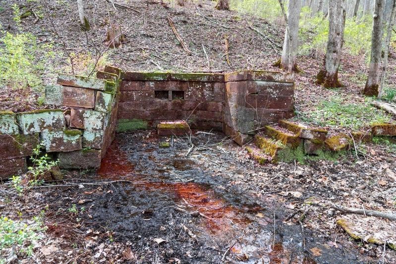
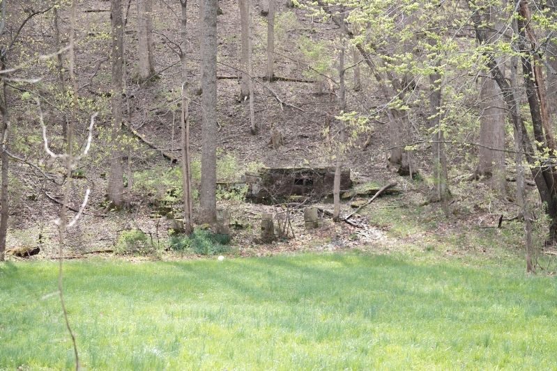
4. Ruins of the Mineral Spring
Inscription just above the two indented stones reads, “Take a Drink on Wm. Bruckmann.” William Bruckmann owned the Bruckmann Brewing Company in Cincinnati, the nearest metropolis to the resort, and was never an owner of this property. The low stone pedestal on the floor of the structure was the basin from which the spring flowed. Old photographs show the name “Smith Grimes” now hidden under the lichen. He was the proprietor who built this stonework. Click on image, then again on oversize image to enlarge.
Credits. This page was last revised on January 26, 2023. It was originally submitted on April 28, 2019, by J. J. Prats of Powell, Ohio. This page has been viewed 1,067 times since then and 178 times this year. Photos: 1, 2, 3, 4. submitted on April 28, 2019, by J. J. Prats of Powell, Ohio.


