Harpers Ferry in Jefferson County, West Virginia — The American South (Appalachia)
Trail to Upper Harpers Ferry
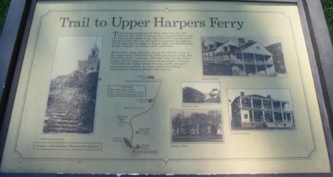
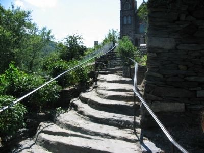
These stone steps will take you up the hill on a tour of the upper town. The first leg of the journey is steep, but relatively short - and you will find views of the rivers, bridges, lower town, and surrounding heights that are well worth the climb. Along the way, you'll also gain unusual perspectives on many historic buildings prominent in Harpers Ferry's rich history.
Topics. This historical marker is listed in this topic list: Notable Places.
Location. This marker has been replaced by another marker nearby. 39° 19.386′ N, 77° 43.834′ W. Marker is in Harpers Ferry, West Virginia, in Jefferson County. Marker is on High Street (Business U.S. 340). Located in the Lower Town section of Harpers Ferry National Historical Park. Touch for map. Marker is in this post office area: Harpers Ferry WV 25425, United States of America. Touch for directions.
Other nearby markers. At least 8 other markers are within walking distance of this location. "A journey of 1,000 miles begins with a single step." (here, next to this marker); Casualty of War (a few steps from this marker); Sweets for Harpers Ferry (within shouting distance of this marker); Harper House: The Mansion on the Hill (within shouting distance of this marker); Harper House Tavern (within shouting distance of this marker); Springhouses and Root Cellars (within shouting distance of this marker); White Hall Tavern (within shouting distance of this marker); High Street in 1886 (within shouting distance of this marker). Touch for a list and map of all markers in Harpers Ferry.
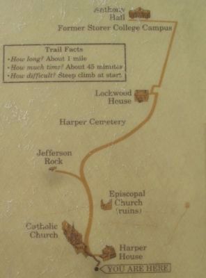
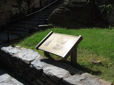
More about this marker. On the left is a photo of the Stone Steps in 1865. In the center is a strip map of the trail to upper town. On the right are photos of a few of the historic buildings and sites - Harper House, Jefferson Rock, Anthony Hall, and Lockwood House.
Also see . . . Harpers Ferry. National Park Service page. (Submitted on November 3, 2008, by Craig Swain of Leesburg, Virginia.)
Credits. This page was last revised on May 20, 2021. It was originally submitted on November 3, 2008, by Craig Swain of Leesburg, Virginia. This page has been viewed 815 times since then and 17 times this year. Photos: 1, 2, 3, 4. submitted on November 3, 2008, by Craig Swain of Leesburg, Virginia.


