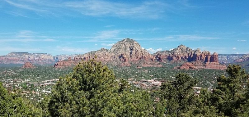
Grasshopper Flat
Historic Sedona
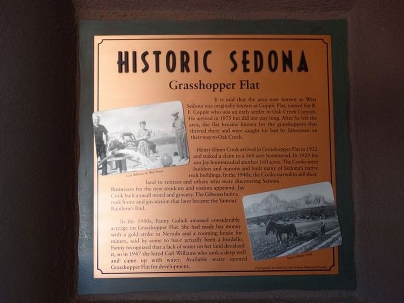
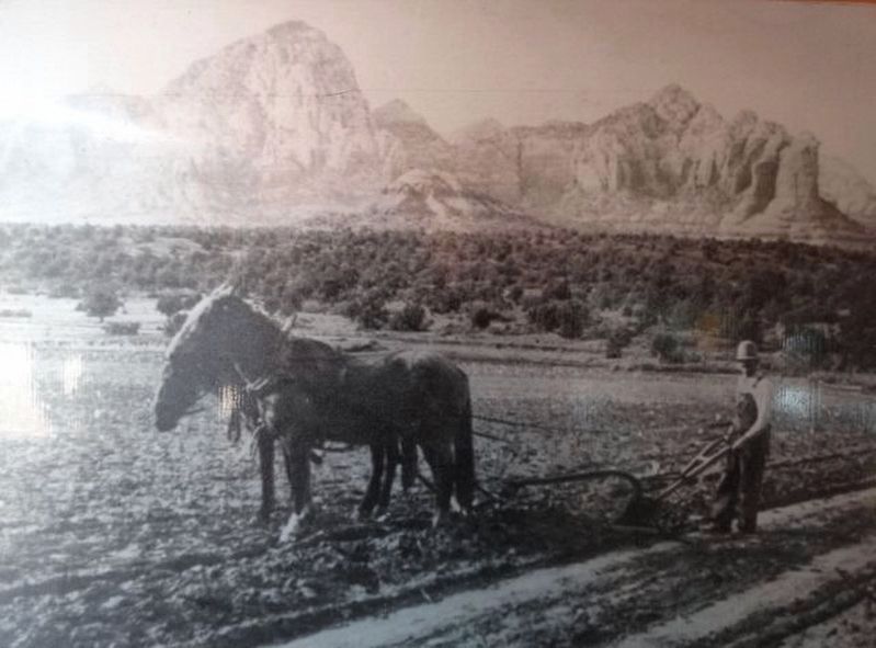
Henry Elmer Cook arrived in Grasshopper Flat in 1922 and staked a claim to a 160 acre homestead. In 1929 his son Jay homesteaded another 160 acres. The Cooks were builders and masons and built many of Sedona's native rock buildings. In the 1940s, the Cooks started to sell their land to retirees and others who were discovering Sedona. Businesses for the new residents and visitors appeared. Jay Cook built a small motel and grocery. The Gibsons built a rock home and gas station that later became the 'famous' Rainbow's End.
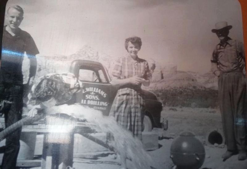
In the 1940s, Fanny Gulick amassed considerable acreage on Grasshopper Flat. She had made her money with a gold strike in Nevada and a rooming house for miners, said by some to have actually been a bordello. Fanny recognized that a lack of water on her land devalued it, so in 1947 she hired Carl Williams who sank a deep well and came up with water. Available water opened Grasshopper Flat for development.
Erected by Sedona
Topics. This historical marker is listed in this topic list: Settlements & Settlers. A significant historical year for this entry is 1875.
Location. 34° 52.079′ N, 111° 45.738′ W. Marker is in Sedona, Arizona, in Yavapai County. Marker can be reached from Hwy 89A. Located along the walls within the outdoor mall called The Shops at Hyatt Piñon Pointe. Next to the Pretty Woman Shop (B4). Touch for map. Marker is at or near this postal address: 101 N Hwy 89A, Sedona AZ 86336, United States of America. Touch for directions.
Other nearby markers. At least 8 other markers are within walking distance of this marker. The Sinagua (here, next to this marker); First Settlers (within shouting distance of this marker); Roads (within shouting distance of this marker); Sedona Fire & Police Departments (within shouting distance of this marker); Cowboys (within shouting distance of this marker); Jessie "Bear" Howard (within shouting distance of this marker); Heart of Sedona (within shouting distance of this marker); The First School (within shouting distance of this marker). Touch for a list and map of all markers in Sedona.
Credits. This page was last revised on May 5, 2019. It was originally submitted on April 28, 2019, by Denise Boose of Tehachapi, California. This page has been viewed 403 times since then and 56 times this year. Photos: 1, 2, 3, 4, 5. submitted on April 28, 2019, by Denise Boose of Tehachapi, California. • Andrew Ruppenstein was the editor who published this page.
