Augusta in St. Charles County, Missouri — The American Midwest (Upper Plains)
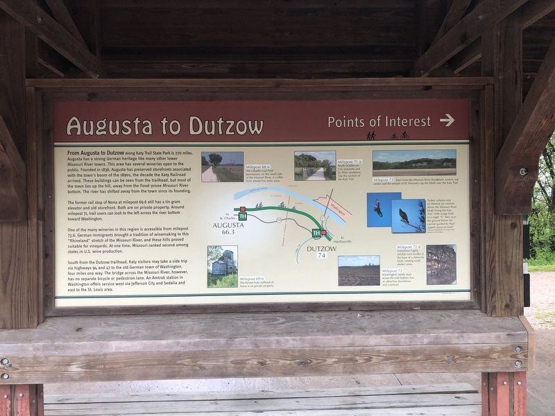
Augusta to Dutzow
Points of Interest
The former rail stop of Nona at milepost 69.6 still has a tin grain elevator and old storefront. Both are on private property. Around milepost 71, trail users can look to the left across the river bottom toward Washington.
One of the many wineries in this region is accessible from milepost 73.6. German immigrants brought a tradition of winemaking to this "Rhineland" stretch of the Missouri River, and these hills proved suitable for vineyards. At one time, Missouri ranked second among states in U.S. wine production.
South from the Dutzow trailhead, Katy visitors may take a side trip via highways 94 and 47 to the old German town of Washington, four miles one way. The bridge across the Missouri River, however has no separate bicycle or pedestrian lane. An Amtrak station in Washington offers service west via Jefferson City and Sedalia and east to the St. Louis area.
Topics and series. This historical marker is listed in these topic lists: Agriculture • Industry & Commerce • Railroads & Streetcars • Settlements & Settlers. In addition, it is included in the Katy Trail State Park series list. A significant historical year for this entry is 1836.
Location. 38° 34.191′ N, 90° 52.886′ W. Marker is in Augusta, Missouri, in St. Charles County. Marker is on Public Street south of Water Street, on the right when traveling south. Touch for map. Marker is at or near this postal address: 5543 Water Street, Augusta MO 63332, United States of America. Touch for directions.
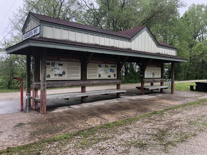
Other nearby markers. At least 8 other markers are within walking distance of this marker. Augusta to Matson (here, next to this marker); Missouri Wine (here, next to this marker); August Sehrt House (approx. ¼ mile away); Augusta (approx. ¼ mile away); H. S. Clay House Bed & Breakfast and Guest Cottage (approx. ¼ mile away); Staudinger-Grumke House-Store (approx. 0.3 miles away); 5505 Locust Street (approx. 0.3 miles away); Dortmund (approx. 0.9 miles away). Touch for a list and map of all markers in Augusta.
Credits. This page was last revised on March 10, 2021. It was originally submitted on April 30, 2019, by Devry Becker Jones of Washington, District of Columbia. This page has been viewed 163 times since then and 8 times this year. Photos: 1, 2. submitted on April 30, 2019, by Devry Becker Jones of Washington, District of Columbia.

