Near Longwood in Clarke County, Virginia — The American South (Mid-Atlantic)
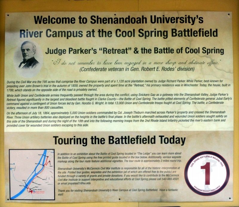
Judge Parker's “Retreat” & the Battle of Cool Spring
Welcome to Shenandoah University’s River Campus at the Cool Spring Battlefield
Inscription.
“I do not remember to have been engaged in a more sharp and obstinate affair.” (Confederate veteran in Gen. Robert E. Rodes’ division)
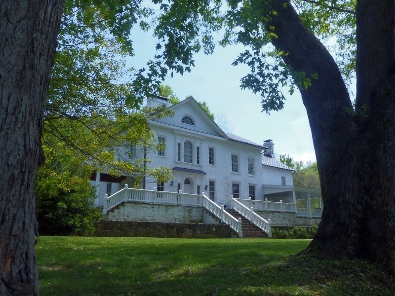
During the Civil War era the 195 acres that comprise the River Campus were part of a 1,120 acre plantation owned by Judge Richard Parker. While Parker, best-known for presiding over John Brown's trial in the autumn of 1859, owned the property and spent time at the “Retreat,” his primary residence was in Winchester. Today, the house, built in 1799, which stands on the opposite side of the road is privately owned.
While both Union and Confederate armies frequently passed through the area during the conflict, using Snickers Gap as a gateway into the Shenandoah Valley, Judge Parker's Retreat figured significantly in the largest and bloodiest battle fought in Clarke County—the Battle of Cool Spring. The battle pitted elements of Confederate general Jubal Early's command against a contingent of Union forces led by Gen. Horatio G. Wright. In total 13,000 Union and Confederate troops fought at Cool Spring. The battle, a Confederate victory, resulted in more than 800 casualties.
On the afternoon of July 18, 1864, approximately 5,000 Union soldiers commanded by Col. Joseph Thoburn marched across Parker's property and crossed the Shenandoah River. Three Union artillery batteries also deployed on the heights in the battle's final phase. In the battle's aftermath exhausted and wounded Union soldiers sought safety on this side of the Shenandoah and during the night of the 18th and into the following morning troops from the 2nd Rhode Island Infantry picketed the river's eastern bank and provided cover for wounded Union soldiers escaping to this side.
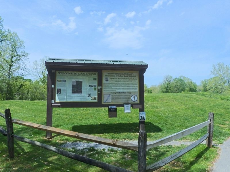
Erected by Shenandoah University's McCormick Civil War Institute. (Marker Number 1.)
Topics. This historical marker is listed in this topic list: War, US Civil. A significant historical date for this entry is July 18, 1864.
Location. 39° 8.164′ N, 77° 52.179′ W. Marker is near Longwood, Virginia, in Clarke County. Marker is on Parker Lane south of Alder Lane, on the left when traveling north. Touch for map. Marker is at or near this postal address: 1492 Parker Lane, Bluemont VA 20135, United States of America. Touch for directions.
Other nearby markers. At least 8 other markers are within 2 miles of this marker, measured as the crow flies. Battle of Cool Spring (a few steps from this marker); Col. George D. Wells Leads the Way (about 600 feet away, measured in a direct line); Confederate Counterattack and Union Retreat (approx. 0.2 miles away); Thoburn’s Rescue (approx. 1.1 miles away); The Retreat (approx. 1.3 miles away); a different marker also named
Battle of Cool Spring (approx. 1˝ miles away); a different marker also named Battle of Cool Spring (approx. 1˝ miles away); Castleman’s Ferry Fight (approx. 1.6 miles away). Touch for a list and map of all markers in Longwood.
Also see . . .
1. Touring the Battle of Cool Spring. (PDF) Walking tour of Cool Spring Battlefield. (Submitted on May 1, 2019, by Allen C. Browne of Silver Spring, Maryland.)
2. Parker, Richard, (1810-1893). Congressional Biography. (Submitted on May 1, 2019, by Allen C. Browne of Silver Spring, Maryland.)
Credits. This page was last revised on April 8, 2024. It was originally submitted on May 1, 2019, by Allen C. Browne of Silver Spring, Maryland. This page has been viewed 669 times since then and 92 times this year. Last updated on April 8, 2024, by James R Miller of Caroga, New York. Photos: 1, 2, 3, 4. submitted on May 1, 2019, by Allen C. Browne of Silver Spring, Maryland. 5. submitted on May 2, 2019, by Allen C. Browne of Silver Spring, Maryland. • Devry Becker Jones was the editor who published this page.


