New Albany in Franklin County, Ohio — The American Midwest (Great Lakes)
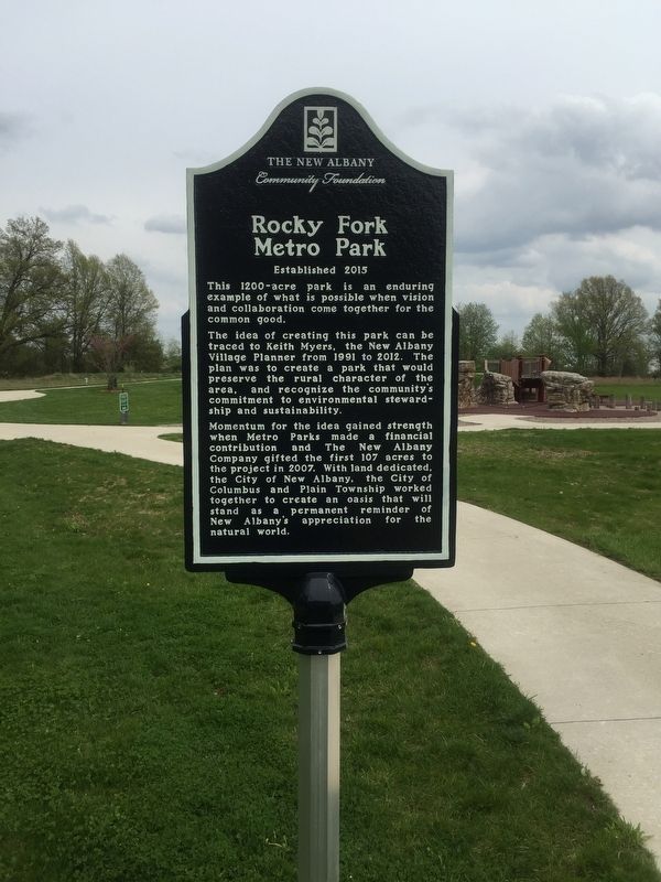
Rocky Fork Metro Park
This 1200-acre park is an enduring example of what is possible when vision and collaboration come together for the common good.
The idea of creating this park can be traced to Keith Myers, the New Albany Village Planner from 1991 to 2012. The plan was to create a park that would preserve the rural character of the area, and recognize the community’s commitment to environmental stewardship and sustainability.
Momentum for the idea gained strength when Metro Parks made a financial contribution and The New Albany Company gifted the first 107 acres to the project in 2007. With land dedicated, the City of New Albany, the City of Columbus and Plain Township worked together to create an oasis that will stand as a permanent reminder of New Albany's appreciation for the natural world.
Erected 2015 by The New Albany Community Foundation.
Topics. This historical marker is listed in this topic list: Parks & Recreational Areas. A significant historical year for this entry is 2015.
Location. 40° 7.14′ N, 82° 47.792′ W. Marker is in New Albany, Ohio, in Franklin County. Marker can be reached from Walnut Road. At parking lot. Touch for map. Marker is in this post office area: New Albany OH 43054, United States of America. Touch for directions.
Other nearby markers. At least 8 other markers are within 3 miles of this marker, measured as the crow flies. Mills of Plain Township (within shouting distance of this marker); Smith’s Burying Ground: Pioneer Cemetery (approx. 1.4 miles away); Wagnor Cemetery (approx. 1˝ miles away); Field Musician Richard W. Thompson (approx. 1.9 miles away); Disposal of Land in Plain Township (approx. 2.4 miles away); New Albany and Plain Township Veterans and First Responders Memorial (approx. 2.6 miles away); Founders of New Albany (approx. 2.6 miles away); Benajah Cook Sawmill and Farmstead (approx. 2.6 miles away). Touch for a list and map of all markers in New Albany.
Credits. This page was last revised on May 4, 2019. It was originally submitted on May 2, 2019, by Steve Stoessel of Niskayuna, New York. This page has been viewed 144 times since then and 15 times this year. Photos: 1, 2. submitted on May 2, 2019, by Steve Stoessel of Niskayuna, New York. • Andrew Ruppenstein was the editor who published this page.

