Rochelle in Ogle County, Illinois — The American Midwest (Great Lakes)
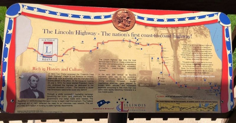
The Lincoln Highway - The nation's first coast-to-coast highway!
Rich in History and Culture
Inscription.
In 1913, Carl Fisher proposed the "Coast-to-Coast Rock Highway". Eager to put America on wheels, executives from automobile and tire manufacturers quickly joined in the effort. At the inaugural meeting on July 1, 1913, the newly elected President, Henry Joy, proposed the highway be dedicated to the martyred Abraham Lincoln. This became a cause that Americans nationwide could rally behind.
Through a wildly successfull marketing campaign convincing the public (and eventually the federal government) that better roads were needed, the Road Act of 1916 provided the seed money to begin road improvement. The Federal Highway of 1921 reflected the need for an interstate road network. This act provided $75 million in funding to state highway departments.
The Lincoln Highway was once the most famous road in America. It was a testament to the vision and perseverance of entrepreneurs inspired to create the first successful, all-weather, coast-to-coast automobile highway.
In the early 20th century, as bicycle's popularity gave way to the expanding automotive industry, demand for improved driving conditions increased. Muddy, treacherous stretches, roads plagued by broken down vehicles, and impassable expanses amounting to little more than cow paths were rapidly becoming intolerable to a now mobile public.
Traveling along the Lincoln Highway in Illinois will guide you to an adventure rich in beauty and heritage. You will explore a wide variety of scenic communities that celebrate unique history and culture brought together by the first paved road in Illinois. Rediscover the charm of the American road as you follow the 179 miles of the Illinois Lincoln Highway, where every mile is a story!
This gazebo project is coordinated by the Illinois Lincoln Highway Coalition the management agency for the Illinois Lincoln Highway National Scenic Byway. The 179 mile portion of the Lincoln Highway through Illinois is the only section that has received the National Scenic Byway Designation.
Topics and series. This historical marker is listed in this topic list: Roads & Vehicles. In addition, it is included in the Lincoln Highway series list. A significant historical date for this entry is July 1, 1913.
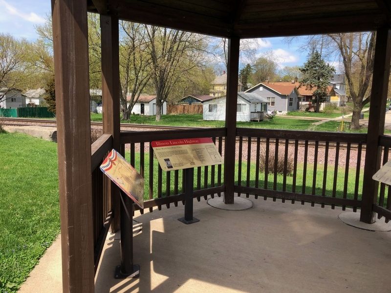
Location. 41° 55.219′ N, 89° 4.345′ W. Marker is in Rochelle, Illinois, in Ogle County. Located in the Rochelle Railroad Park. Touch for map. Marker is at or near this postal address: 206 N 10th Street, Rochelle IL 61068, United States of America. Touch for directions.
Other nearby markers. At least 8 other markers are within 10 miles of this marker, measured as the crow flies. City of Rochelle (here, next to this marker); "Fill 'er up!" (here, next to this marker); Better Roads for a Bright Future (here, next to
this marker); Creston (approx. 5.6 miles away); Gross Saw Mill (approx. 7.1 miles away); Morgan Grist Mill (approx. 7.9 miles away); Aikens Saw Mill (approx. 10 miles away); Lincoln Highway Seedling Mile (approx. 10.1 miles away). Touch for a list and map of all markers in Rochelle.
Credits. This page was last revised on May 6, 2019. It was originally submitted on May 5, 2019, by Ruth VanSteenwyk of Aberdeen, South Dakota. This page has been viewed 247 times since then and 12 times this year. Photos: 1, 2. submitted on May 5, 2019, by Ruth VanSteenwyk of Aberdeen, South Dakota. • Andrew Ruppenstein was the editor who published this page.

