East Farmingdale in Nassau County, New York — The American Northeast (Mid-Atlantic)
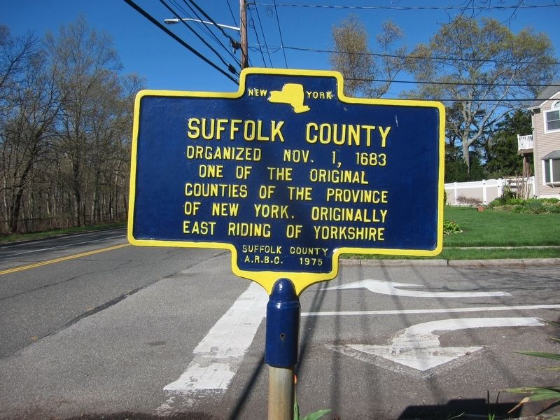
Suffolk County
Organized Nov. 1, 1683
One of the original
counties of the Province
of New York. Originally
East Riding Of Yorkshire
Erected 1975 by Suffolk County American Revolution Bicentennial Committee.
Topics. This historical marker is listed in this topic list: Political Subdivisions. A significant historical date for this entry is November 1, 1683.
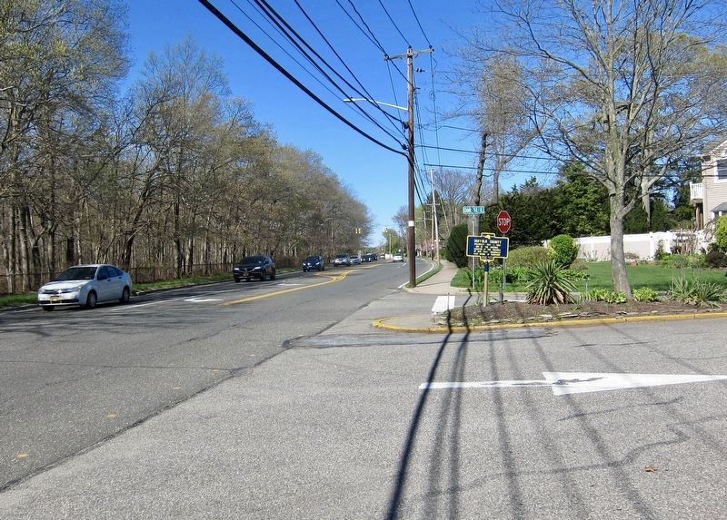
Location. 40° 44.565′ N, 73° 26.151′ W. Marker is in East Farmingdale, New York, in Nassau County. Marker is at the intersection of Melville Road and Oak Street E, on the right when traveling east on Melville Road. Touch for map. Marker is in this post office area: Farmingdale NY 11735, United States of America. Touch for directions.
Other nearby markers. At least 8 other markers are within one mile of this marker, measured as the crow flies. Abigail E. Leonard (approx. 0.6 miles away); SUNY Farmingdale (approx. 0.7 miles away); Farmingdale War Memorial (approx. one mile away); Farmingdale World War II Memorial (approx. one mile away); Farmingdale Korea and Vietnam War Memorial (approx. one mile away); Farmingdale Civil War Memorial (approx. one mile away); Farmingdale Honor Roll World War 1917-1918 (approx. one mile away); World War II (approx. 1.1 miles away). Touch for a list and map of all markers in East Farmingdale.
Also see . . . Suffolk County, New York (Wikipedia) . "Suffolk County was part of the Connecticut Colony before becoming an original county of the Province of New York, one of twelve created in 1683. From 1664 until 1683 it had been the East Riding of Yorkshire. Its boundaries were essentially the same as at present, with only minor changes in the boundary with its western neighbor, which was originally Queens County but has been Nassau County since the separation of Nassau from Queens in 1899." (Submitted on May 5, 2019.)
Credits. This page was last revised on January 21, 2024. It was originally submitted on May 5, 2019, by Andrew Ruppenstein of Lamorinda, California. This page has been viewed 307 times since then and 52 times this year. Last updated on January 19, 2024, by Carl Gordon Moore Jr. of North East, Maryland. Photos: 1, 2. submitted on May 5, 2019, by Andrew Ruppenstein of Lamorinda, California. • Michael Herrick was the editor who published this page.

