Alcatraz Island in San Francisco City and County, California — The American West (Pacific Coastal)
The Morgue
Death on the Rock
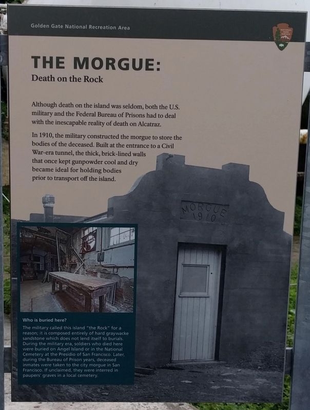
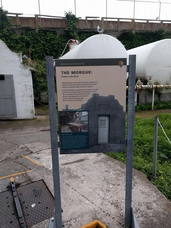
Although death on the island was seldom, both the U.S. military and the Federal Bureau of Prisons had to deal with the inescapable reality of death on Alcatraz.
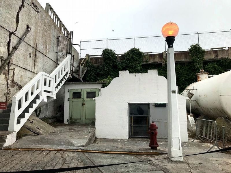
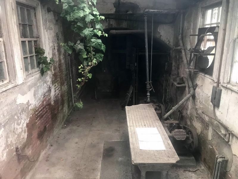
In 1910, the military constructed the morgue to store the bodies of the deceased. Built at the entrance to a Civil War-era tunnel, the thick, brick-lined walls that once kept gunpowder cool and dry became ideal for holding bodies prior to transport off the island.
Erected by Golden Gate National Recreation Area, National Park Service.
Topics. This historical marker is listed in this topic list: Notable Buildings. A significant historical year for this entry is 1910.
Location. 37° 49.64′ N, 122° 25.412′ W. Marker is in San Francisco, California, in San Francisco City and County. It is on Alcatraz Island. This marker is on the northern half of Alcatraz Island between the former prison and the water tower. Touch for map. Marker is in this post office area: San Francisco CA 94133, United States of America. Touch for directions.
Other nearby markers. At least 8 other markers are within walking distance of this marker. Not Just a Water Tower (a few steps from this marker); Officers' Club (within shouting distance of this marker); First Escape Attempt (within shouting distance of this marker); Quartermaster Warehouse and Power Plant (about 300 feet away, measured in a direct line); Lower Military Prison (about 300 feet away); Alcatraz Lighthouse (about 500 feet away); Indian Occupation 1969-1971 (about 500 feet away); Persian Carpet (about 600 feet away). Touch for a list and map of all markers in San Francisco.
Also see . . . Alcatraz Morgue. Wikipedia article (Submitted on May 8, 2019, by Joel Seewald of Madison Heights, Michigan.)
Photographed By Joel Seewald, April 3, 2019
2. Lower left image
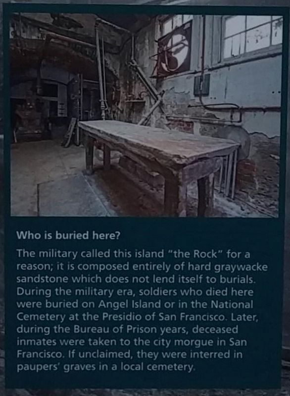
Who is buried there?
The military called this island "the Rock" for a reason, it is composed entirely of hard graywacke sandstone which does not lend itself to burials. During the military era, soldiers who died here were buried on Angel Island or in the National Cemetery at the Presidio of San Francisco. Later, during the Bureau of Prison years, deceased inmates were taken to the city morgue in San Francisco. If unclaimed, they were interred in paupers' graves in a local cemetery.
The military called this island "the Rock" for a reason, it is composed entirely of hard graywacke sandstone which does not lend itself to burials. During the military era, soldiers who died here were buried on Angel Island or in the National Cemetery at the Presidio of San Francisco. Later, during the Bureau of Prison years, deceased inmates were taken to the city morgue in San Francisco. If unclaimed, they were interred in paupers' graves in a local cemetery.
Credits. This page was last revised on February 7, 2023. It was originally submitted on May 8, 2019, by Joel Seewald of Madison Heights, Michigan. This page has been viewed 761 times since then and 18 times this year. Photos: 1, 2, 3. submitted on May 8, 2019, by Joel Seewald of Madison Heights, Michigan. 4, 5. submitted on August 28, 2020, by Diane Phillips of Pittsburg, California.
