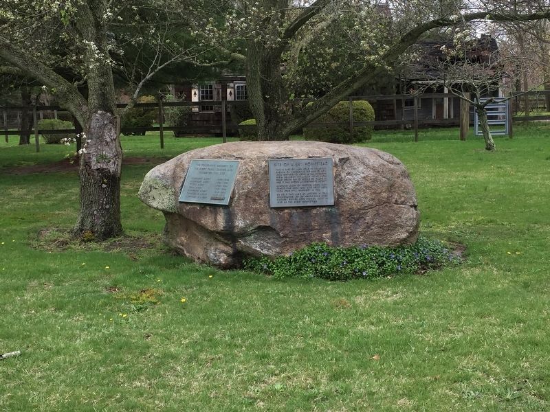
The Avery Homestead
Site of a homestead. This is part of land sold by Tobaccus, Sachem of Unkechaug Indians, to Gov. John Winthrop of Connecticut in 1664, extending from Bellport through Bluepoint, from Great South Bay to the middle of the island. By 1680 it was known as 'Winthrop's Patent'.
Humphrey Avery, of Preston, Conn., purchased Pine Neck from John Still Winthrop in 1752.
He sold the land by lottery in 1756, repurchasing the lot on which the Swan River Nursery office now resides, built in 1820 as the Avery homestead.
(left plaque:)
The following members of the Avery Family owned and inhabited this site
Humphrey Avery 1699-1788
Humphrey Avery 1725-1789
Roger Avery 1755-1824
John Avery 1791-1868
Humphrey Avery 1816-1889
Charles W. Avery 1854-1915
Humphrey R. Avery (illegible)
Erected 1976 by the Avery Family.
Topics. This historical marker is listed in this topic list: Settlements & Settlers. A significant historical year for this entry is 1664.
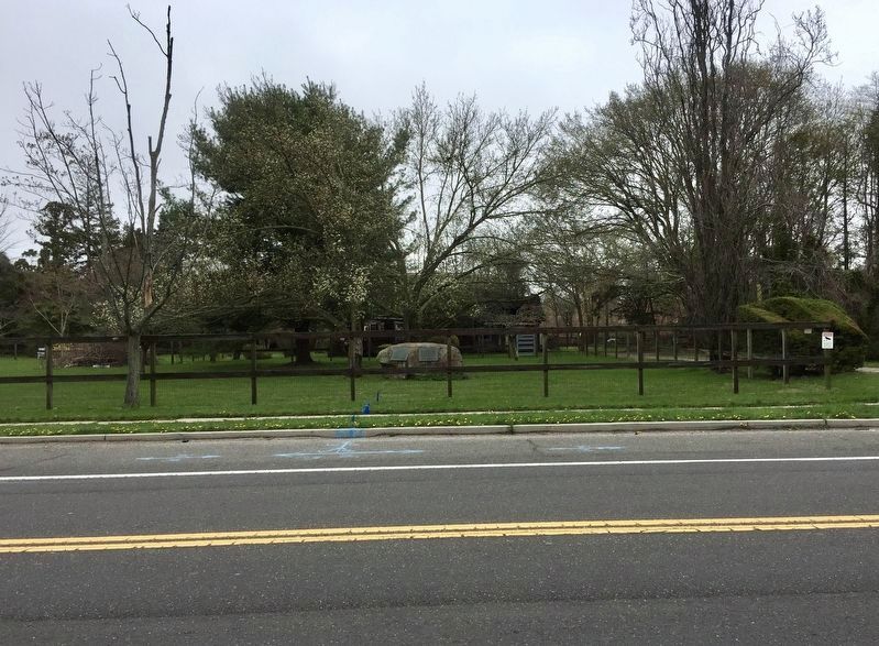
Location. 40° 46.011′ N, 72° 59.436′ W. Marker is in East Patchogue, New York, in Suffolk County. Marker is at the intersection of South Country Road and Robinson Road, on the left when traveling east on South Country Road. Touch for map
Other nearby markers. At least 8 other markers are within 2 miles of this marker, measured as the crow flies. Squire Mott Grist Mill (about 800 feet away, measured in a direct line); Capt. Austin Roe (approx. 1.2 miles away); Citizen Soldier (approx. 1.2 miles away); Paul the Tailor Building (approx. 1.3 miles away); VFW Post 8300 War Memorial (approx. 1.4 miles away); Monorail (approx. 1.4 miles away); The Lace Mill (approx. 1.6 miles away); Site of Hart's Tavern (approx. 1.7 miles away). Touch for a list and map of all markers in East Patchogue.
Regarding The Avery Homestead. Note that the marker is located on posted private property. The marker is not quite legible from the sidewalk, and the lead photo here reflects that. The transcription provided here of the marker was taken from the February 25, 1976 issue of the Long Island Advance (p. 2-A).
Also see . . . Avery Homestead, East Patchogue, Town of Brookhaven. Preservation Long Island website entry (Submitted on May 17, 2019.)
Credits. This page was last revised on October 9, 2023. It was originally submitted on May 17, 2019, by Andrew Ruppenstein of Lamorinda, California. This page has been viewed 606 times since then and 65 times this year. Photos: 1, 2. submitted on May 17, 2019, by Andrew Ruppenstein of Lamorinda, California.
Editor’s want-list for this marker. closeup photos of the plaques • Can you help?

