Chetumal in Othón P. Blanco, Quintana Roo, Mexico — The Yucatan Peninsula (The Southeast)
Dimas Sansores
Paseo de los Héroes
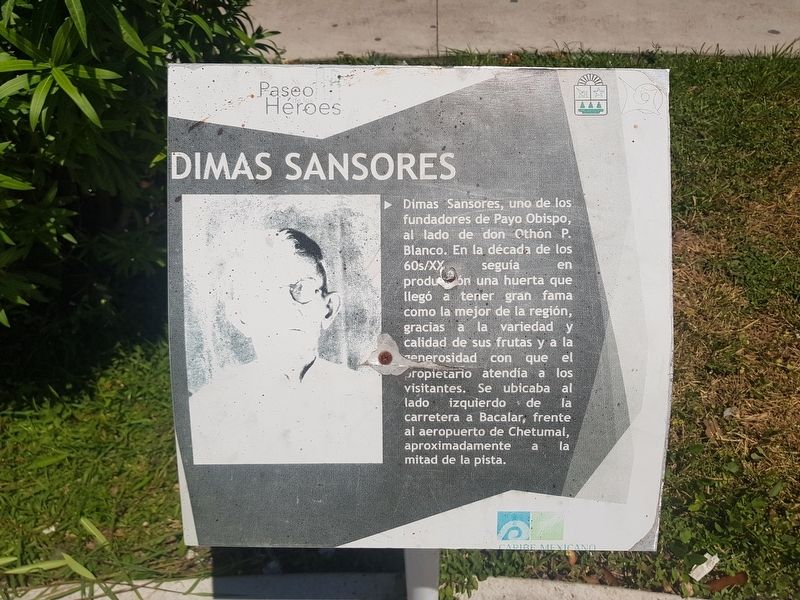
Dimas Sansores, uno de los fundadores de Payo Obispo, al lado de don Othón P. Blanco. En la década de los 60s/XX seguía en producción una huerta que llegó a tener gran fama como la mejor de la región, gracias a la variedad y calidad de sus frutas y a la generosidad con que el propietario atendía a los visitantes. Se ubicaba al lado izquierdo de la carretera a Bacalar, frente al aeropuerto de Chetumal, aproximadamente a la mitad de la pista.
Dimas Sansores
Dimas Sansores, one of the founders of Payo Obispo together with Othón P. Blanco. In the decade of the 1960s he continued production at an orchard that came to have great fame as the best in the region, thanks to the variety and quality of its fruit and the generosity with which the owner attended the visitors. It was located on the left side of the road to Bacalar, in front of the Chetumal airport, approximately halfway down the airstrip.
Topics. This historical marker is listed in these topic lists: Agriculture • Industry & Commerce • Settlements & Settlers.
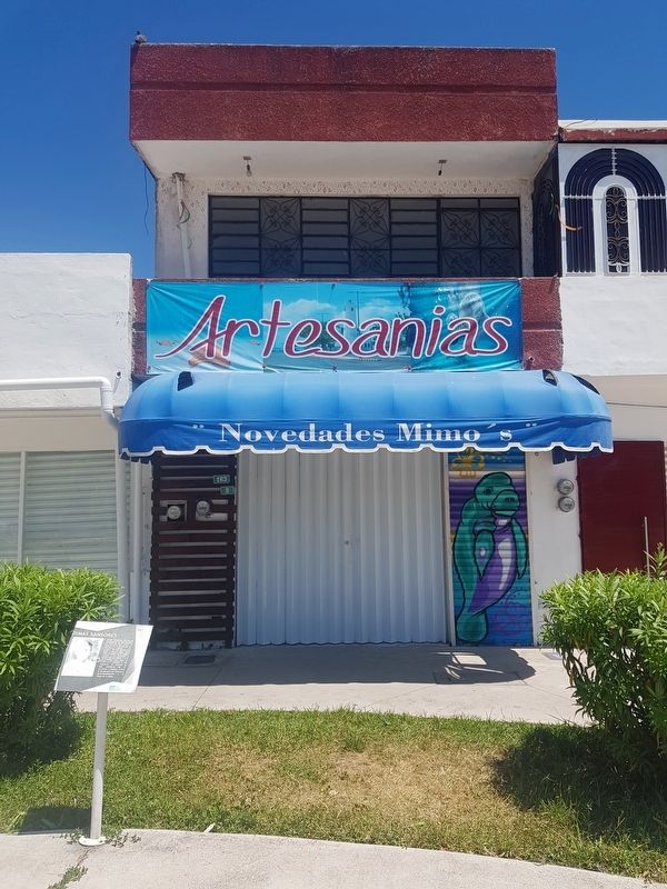
Location. 18° 30.154′ N, 88° 17.728′ W. Marker is in Chetumal, Quintana Roo, in Othón P. Blanco. Marker is at the intersection of Avenida de los Héroes and Avenida Efraín Aguilar, on the right when traveling north on Avenida de los Héroes. Touch for map. Marker is in this post office area: Chetumal QR 77000, Mexico. Touch for directions.
Other nearby markers. At least 8 other markers are within walking distance of this marker. La Chetumaleña (a few steps from this marker); Hospital Morelos (a few steps from this marker); Juventino Rosas Theater (within shouting distance of this marker); The History of Chetumal: 1960-1970 and 1970-1980 (within shouting distance of this marker); Manuel Ignacio Altamirano Market (within shouting distance of this marker); Archaeological Sites of Southern Quintana Roo (within shouting distance of this marker); The History of Chetumal: 1940-1950 (within shouting distance of this marker); Hurricane Janet (about 90 meters away, measured in a direct line). Touch for a list and map of all markers in Chetumal.
Credits. This page was last revised on May 18, 2019. It was originally submitted on May 18, 2019, by J. Makali Bruton of Accra, Ghana. This page has been viewed 145 times since then and 3 times this year. Photos: 1, 2. submitted on May 18, 2019, by J. Makali Bruton of Accra, Ghana.

