Chetumal in Othón P. Blanco, Quintana Roo, Mexico — The Yucatan Peninsula (The Southeast)
Río Hondo
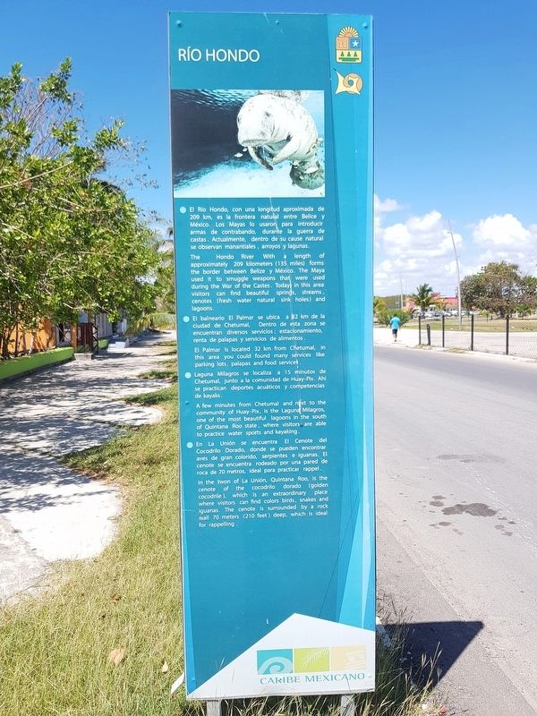
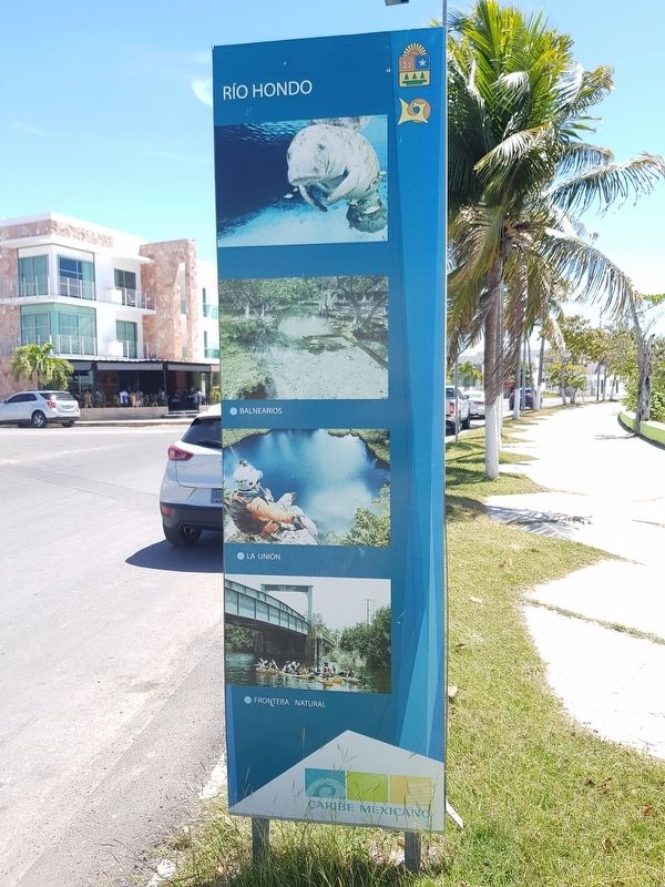
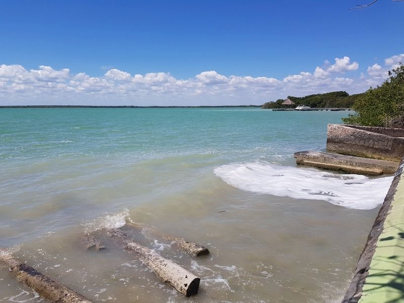
El Río Hondo, con una longitud aproximada de 209 km, es la frontera natural entre Belice y México. Los Mayas lo usaron para introducir armas de contrabando, durante la guerra de castas. Actualmente, dentro de su cause natural se observan manantiales, arroyos y lagunas.
El balneario El Palmar se ubica a 82 km de la ciudad de Chetumal, Dentro de esta zona se encuentran diversos servicios; estacionamiento, renta de palapas y servicios de alimentos.
Laguna Milagros se localiza a 15 minutos de Chetumal, junto a la comunidad de Huay-Pix. Ahí se practican deportes acuáticos y competencias de kayaks.
En La Unión se encuentra El Cenote del Cocodrilo Dorado, donde se puede encontrar aves de gran colorido, serpientes e iguanas. El cenote se encuentra rodeado por una pared de roca de 70 metros, ideal para practicar rappel.
Río Hondo (Deep River)
The Hondo River With a length of approximately 209 kilometers (135 miles) forms the border between Belize y México. The Maya used it to smuggle weapons that were used during the War of the Castes. Today, in this area visitors can find beautiful springs, streams, cenotes (fresh water natural sink holes) and lagoons.
El Palmar Is located 32 km from Chetumal, in this área you could found many services like parking lots, palapas (thatched huts for sun protection) and food services.
A few minutes from Chetumal and next to the community of Huay-Pix, is the Laguna Milagros, one of the most beautiful lagoons in the south of Quintana Roo state, where visitors are able to practice water sports and kayaking.
In the town of La Unión, Quintana Roo, is the cenote of the cocodrilo dorado (golden cocodrile), which is an extraordinary place where visitors can find colors birds, snakes and iguanas. The cenote is surrounded by a rock wall 70 meters (210 feet) deep, which is ideal for rappelling.
Topics. This historical marker is listed in these topic lists: Environment • Parks & Recreational Areas • Wars, Non-US.
Location. 18° 29.609′ N, 88° 18.145′ W. Marker is in Chetumal, Quintana Roo, in Othón P. Blanco. Marker is on Boulevard Bahía just east of Avenida Emiliano Zapata, on the right when traveling east. Touch for map. Marker is in this post office area: Chetumal QR 77000, Mexico. Touch for directions.
Other nearby markers. At least 8 other markers are within walking distance of this marker. Chetumal (within shouting distance of this marker); Joop Beljön (approx. 0.4 kilometers away);
The Southern Fleet (approx. 0.4 kilometers away); Monument to Nachi Cocom (approx. 0.4 kilometers away); Othón Pompeyo Blanco Núñez de Cáceres (approx. 0.4 kilometers away); Payo Enríquez de Rivera (approx. 0.4 kilometers away); Remnants of Chetumal's Sidewalks (approx. half a kilometer away); Life of the Lighthouse Keeper / Lighthouse Keepers of Chetumal (approx. half a kilometer away). Touch for a list and map of all markers in Chetumal.
Credits. This page was last revised on May 19, 2019. It was originally submitted on May 19, 2019, by J. Makali Bruton of Accra, Ghana. This page has been viewed 129 times since then and 11 times this year. Photos: 1, 2, 3, 4. submitted on May 19, 2019, by J. Makali Bruton of Accra, Ghana.


