Alabama in Genesee County, New York — The American Northeast (Mid-Atlantic)
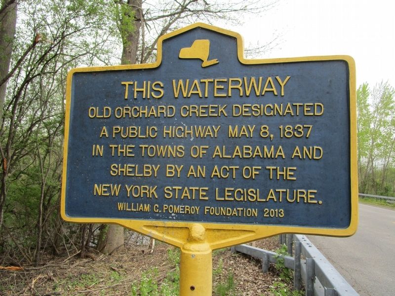
This Waterway
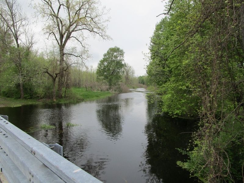
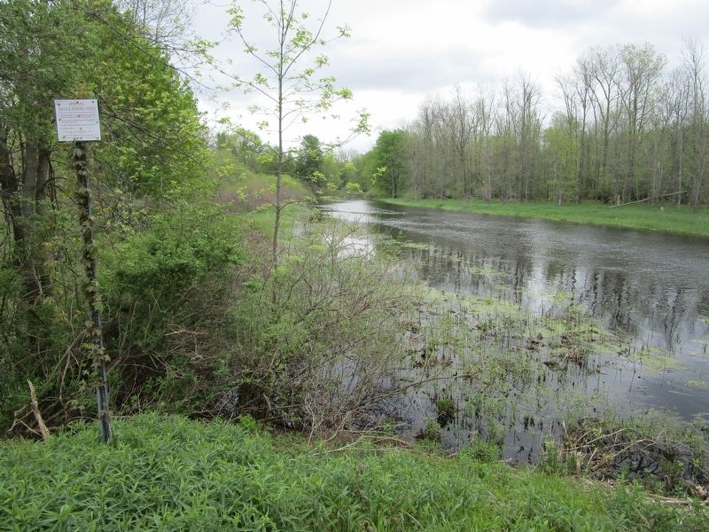
Old Orchard Creek designated
a public highway May 8, 1837
in the towns of Alabama and
Shelby by an act of the
New York State legislature.
Erected 2013 by William G. Pomeroy Foundation.
Topics and series. This historical marker is listed in this topic list: Waterways & Vessels. In addition, it is included in the William G. Pomeroy Foundation series list. A significant historical date for this entry is May 8, 1837.
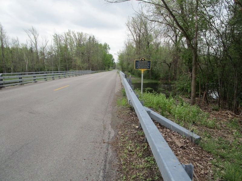
Location. 43° 7.246′ N, 78° 19.495′ W. Marker is in Alabama, New York, in Genesee County. Marker is on Knowlesville Road (County Route 23) ¾ mile south of Podunk Road, on the right when traveling south. Marker is along the eastern border of the Iroquois National Wildlife Refuge. Touch for map. Marker is in this post office area: Oakfield NY 14125, United States of America. Touch for directions.
Other nearby markers. At least 8 other markers are within 5 miles of this marker, measured as the crow flies. Burial Ground (approx. 2.4 miles away); Town of Alabama (approx. 3.3 miles away); Elisha Wright (approx. 4 miles away); KUM BA YAH (Come By Here) (approx. 4.3 miles away); In Honor of the Men Who Served in the Great War (approx. 4.7 miles away); Sue d'Alba (approx. 4.7 miles away); World War II and Korean War Memorial (approx. 4.7 miles away); Site of Cary Collegiate Seminary (approx. 4.7 miles away). Touch for a list and map of all markers in Alabama.
Credits. This page was last revised on May 20, 2019. It was originally submitted on May 20, 2019, by Anton Schwarzmueller of Wilson, New York. This page has been viewed 192 times since then and 16 times this year. Photos: 1, 2, 3, 4. submitted on May 20, 2019, by Anton Schwarzmueller of Wilson, New York.


