Near Tybee Island in Chatham County, Georgia — The American South (South Atlantic)
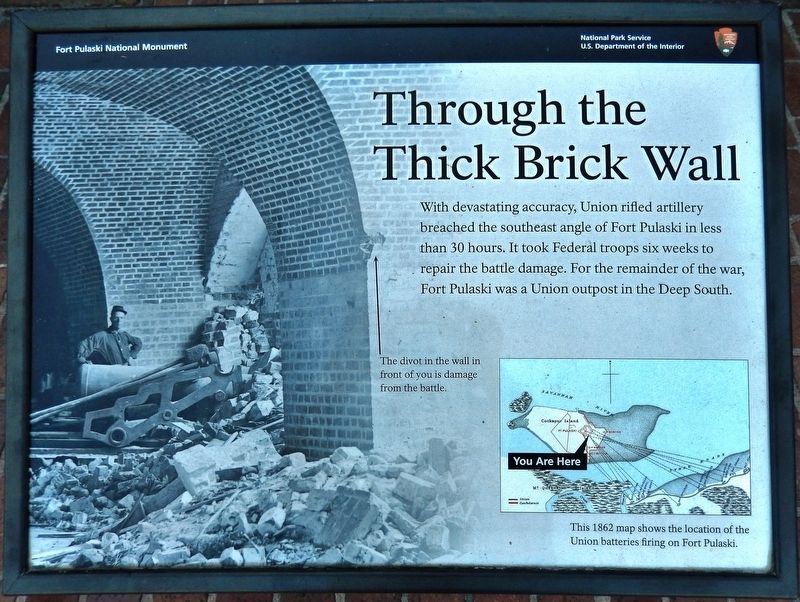
Through the Thick Brick Wall
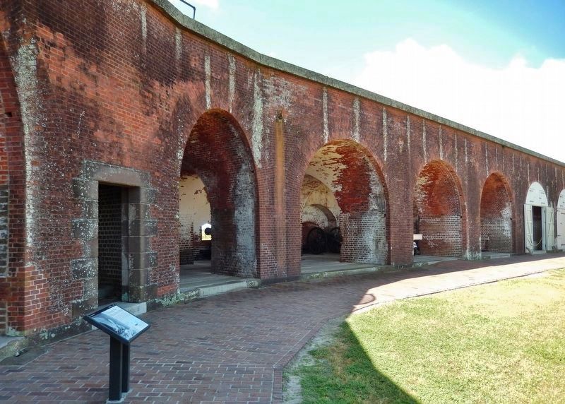
Fort Pulaski National Monument
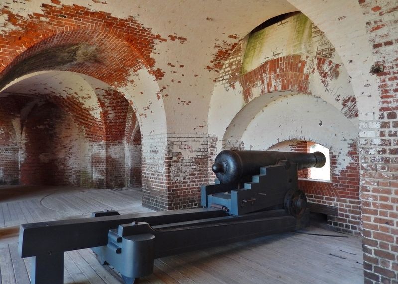
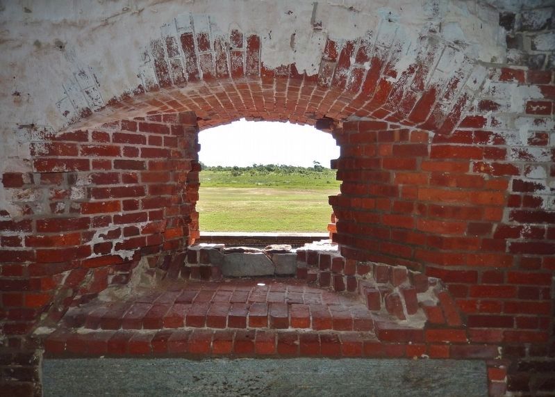
The divot in the wall in front of you is damage from the battle.
Erected by National Park Service, U.S. Department of the Interior.
Topics. This historical marker is listed in these topic lists: Forts and Castles • War, US Civil. A significant historical year for this entry is 1862.
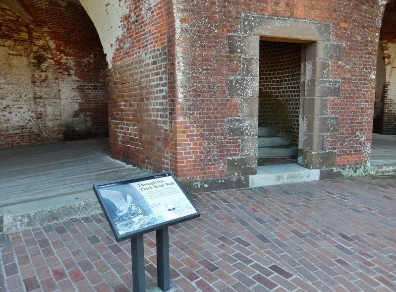
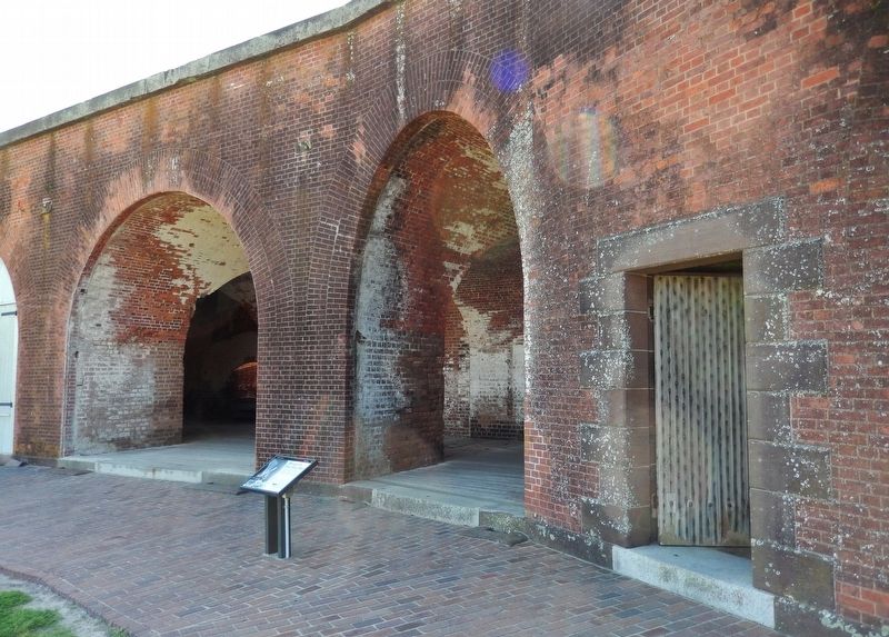
Location. 32° 1.589′ N, 80° 53.407′ W. Marker is near Tybee Island, Georgia, in Chatham County. Marker can be reached from Fort Pulaski Road, one mile north of U.S. 80. Marker is located at Fort Pulaski National Monument, near the southeast corner of the fort, overlooking the fort walls from the inside. Touch for map. Marker is in this post office area: Tybee Island GA 31328, United States of America. Touch for directions.
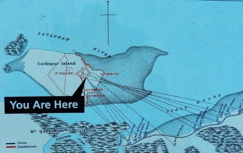
Other nearby markers. At least 8 other markers are within walking distance of this marker. Federal Siege Batteries (here, next to this marker); A Devastating Bombardment (a few steps from this marker); Fort at Play (within shouting distance of this marker); Store House (within shouting distance of this marker); 5,275 Shots & Shells in 30 Hours (within shouting distance of this marker); Southwest Bastion (within shouting distance of this marker); Southwest Magazine (within shouting distance of this marker); Shifting Shoreline (within shouting distance of this marker). Touch for a list and map of all markers in Tybee Island.
Related markers. Click here for a list of markers that are related to this marker. The Battle for Fort Pulaski
Also see . . . Rifled Cannon. On April 11, 1862, after thirty hours of bombardment, Confederate troops inside Fort Pulaski surrendered to Union forces on Tybee Island. The rifled cannon rendered masonry forts obsolete. Rifled pieces could throw heavier shot, with greater accuracy and higher velocity than smooth-bore guns. (Submitted on May 21, 2019, by Cosmos Mariner of Cape Canaveral, Florida.)
Credits. This page was last revised on May 23, 2019. It was originally submitted on May 21, 2019, by Cosmos Mariner of Cape Canaveral, Florida. This page has been viewed 213 times since then and 17 times this year. Photos: 1, 2, 3, 4, 5, 6. submitted on May 21, 2019, by Cosmos Mariner of Cape Canaveral, Florida. 7. submitted on May 22, 2019, by Cosmos Mariner of Cape Canaveral, Florida.
