Near Tybee Island in Chatham County, Georgia — The American South (South Atlantic)
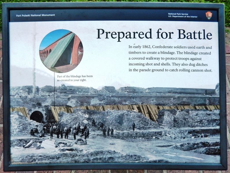
Prepared for Battle
Fort Pulaski National Monument
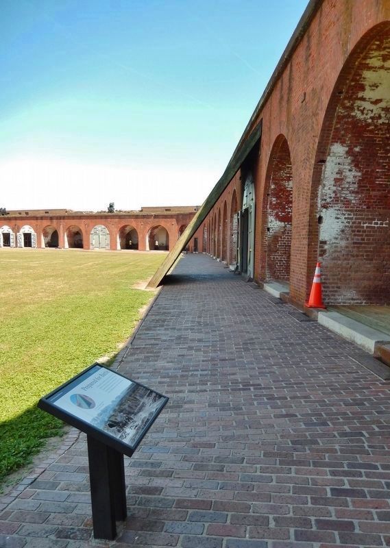
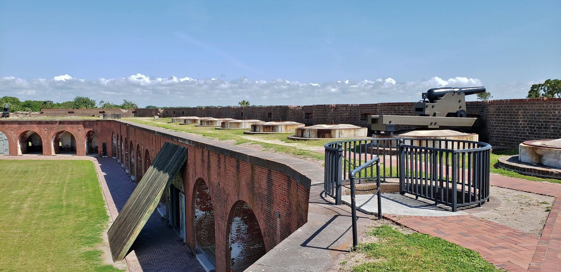
Part of the blindage has been re-created to your right.
Erected by National Park Service, U.S. Department of the Interior.
Topics. This historical marker is listed in these topic lists: Forts and Castles • War, US Civil. A significant historical year for this entry is 1862.
Location. 32° 1.623′ N, 80° 53.384′ W. Marker is near Tybee Island, Georgia, in Chatham County. Marker can be reached from Fort Pulaski Road, one mile north of U.S. 80. Marker is located at Fort Pulaski National Monument, inside the fort, along the walkway at the east apex of the parade grounds. Touch for map. Marker is in this post office area: Tybee Island GA 31328, United States of America. Touch for directions.
Other nearby markers. At least 8 other markers are within walking distance of this marker. 4.5 Inch Blakely Rifle (here, next to this marker); Brooke Rifle (here, next to this marker); Shifting Shoreline (a few steps from this marker); The Breached Wall (within shouting distance of this marker); Red-hot Shot (within shouting distance of this marker); Hot Shot Furnace (within shouting distance of this marker); This Memorial Commemorates The Act Of... (within shouting distance of this marker); Through the Thick Brick Wall (within shouting distance of this marker). Touch for a list and map of all markers in Tybee Island.
Related markers. Click here for a list of markers that are related to this marker. The Battle for Fort Pulaski
Credits. This page was last revised on January 25, 2021. It was originally submitted on May 21, 2019, by Cosmos Mariner of Cape Canaveral, Florida. This page has been viewed 221 times since then and 22 times this year. Photos: 1, 2, 3, 4. submitted on May 22, 2019, by Cosmos Mariner of Cape Canaveral, Florida.


