Battery Park City in Manhattan in New York County, New York — The American Northeast (Mid-Atlantic)
A Field Guide of New York Harbor/The Age of Sail
Inscription.
A Field Guide of New York Harbor
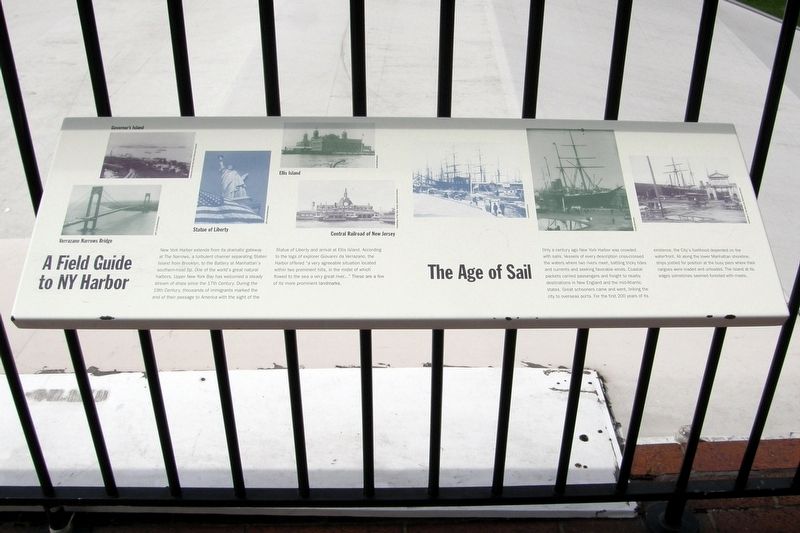
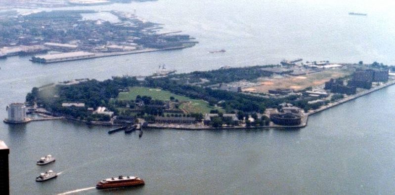
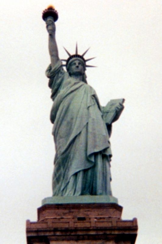
New York Harbor extends from its dramatic gateway at The Narrows, a turbulent channel separating Staten Island from Brooklyn, to the Battery at Manhattan’s southern-most tip. One of the world’s great natural harbors, Upper New York Bay has welcomed a steady stream of ships since the 17th Century. During the 19th century, thousands of immigrants marked the end of their passage to America with the sight of the Statue of Liberty and arrival at Ellis Island. According to the logs of explorer Giovanni da Verrazano (sic), the harbor offered “ a very agreeable situation located within two prominent hills, in the midst of which flowed to the sea a very great river…” These are a few of its more prominent landmarks.
The Age of Sail
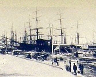
Only a century ago New York Harbor was crowded with sails. Vessels of every description criss-crossed the waters where two rivers meet, battling tricky tides and currents and seeking favorable winds. Coastal packets carried passengers and freight to nearby destinations in New England and the Mid-Atlantic states. Great schooners came and went, linking the city to overseas ports. For the first 200 years of its existence, the City’s livelihood depended on the waterfront. All along the lower Manhattan shoreline, ships jostled for position at the busy piers where their cargos were loaded and unloaded. The island at its edges sometimes seemed forested with masts.
Topics. This historical marker is listed in these topic lists: Landmarks • Waterways & Vessels.
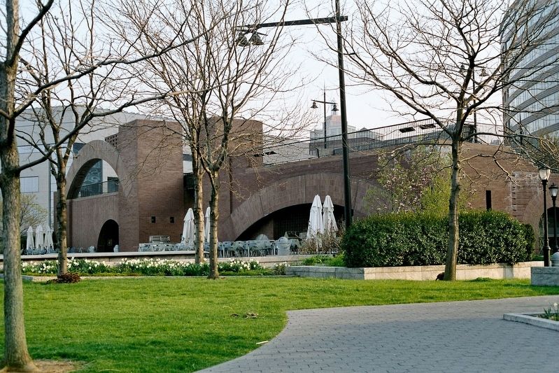
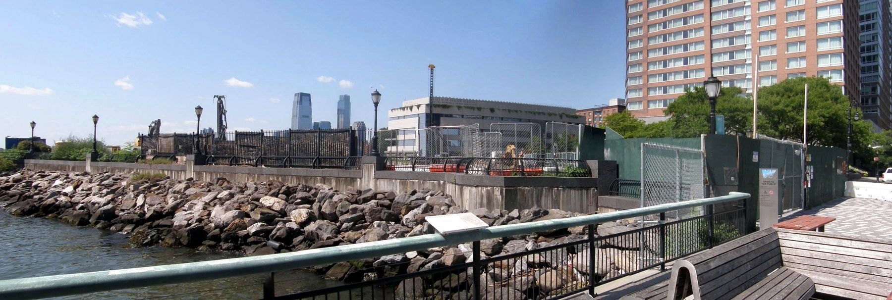
Location. Marker has been permanently removed. It was located near 40° 42.312′ N, 74° 1.106′ W. Marker was in Manhattan, New York, in New York County. It was in Battery Park City. Marker was on Battery Place near Robert F. Wagner Jr. Park, on the right when traveling south. The marker was one of four atop the viewing platform of the Robert J. Wagner Jr. Park pavilion. Touch for map. Marker was in this post office area: New York NY 10280, United States of America.
We have been informed that this sign or monument is no longer there and will not be replaced. This page is an archival view of what was.
Other nearby markers. At least 8 other markers are within walking distance of this location. History of New Pier 1 (about 300 feet away, measured in a direct line); History of Pier A (about 400 feet away); American Merchant Mariners' Memorial (about 500 feet away); a different marker also named American Merchant Mariners' Memorial (about 500 feet away); Mother Cabrini (1850-1917)
(about 500 feet away); New York Korean War Veterans Memorial (about 600 feet away); a different marker also named New York Korean War Veterans Memorial (about 600 feet away); Battery Park City Employees Memorial (about 600 feet away). Touch for a list and map of all markers in Manhattan.
Regarding A Field Guide of New York Harbor/The Age of Sail. The entire park, including the pavilion, has been demolished as part of a global warming resiliency project.
Also see . . . A Plan to Save a Beloved Park From Flooding Has Angered Its Biggest Fans. New York Times, October 21, 2022 (Submitted on September 11, 2023, by Larry Gertner of New York, New York.)
Credits. This page was last revised on September 25, 2023. It was originally submitted on May 22, 2019, by Larry Gertner of New York, New York. This page has been viewed 168 times since then and 24 times this year. Photos: 1, 2, 3, 4, 5, 6. submitted on May 22, 2019, by Larry Gertner of New York, New York. 7. submitted on September 11, 2023, by Larry Gertner of New York, New York. • Bill Pfingsten was the editor who published this page.
