Fort Edward in Washington County, New York — The American Northeast (Mid-Atlantic)
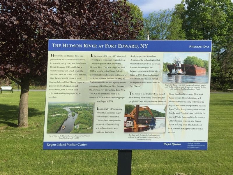
The Hudson River at Fort Edward
Present Day
Historically, the Hudson River has proven to be a valuable source of power for manufacturing purposes. The General Electric Company (GE) established a manufacturing plant, which originally produced parts for World war II bombers. After the war, the GE plants in both Hudson Falls and Fort Edward began to produce electrical capacitors and transformers, both of which used polychlorinated biphenyls (PCBs) as a coolant.
In the course of 30 years, GE , along with several paper companies, released 1.3 million pounds of PCBs into the Hudson River. This was a legal act until 1977, when the United States Federal Government prohibited any further use of PCBs due to health concerns. In 2002, the Environmental Protection Agency ordered a clean-up of the Hudson River between the towns of Fort Edward and Tory, NY. GE has committed itself to the removal of PCBs with its dredging project that began in 2008.
Interestingly, GE's dredging project has facilitated major archaeological discoveries. Timbers from the an eighteenth century fortification, along with other artifacts, were extricated during the dredging process. It was later determined by archaeologists that these timbers were from the water bastion of the original Fort Edward, the construction of which began in 1755. These timbers and artifacts can now be seen at the the Rogers Island Visitor Center in Fort Edward.
The future of the Hudson River should be extremely positive as a tourist area for people who boat and cruise the Champlain Canal system. Hopefully, the fishing will resume in the river, along with travel by kayak and canoes to explore the Hudson River Valley. Today, many yachts use Fort Edward Terminal, now called the Fort Edward Yacht Basin, and the docks oat Old Fort House Museum and Rogers Island as a stop-over. This helps boost local businesses during the warm weather months.
Erected by Rogers Island Visitor Center.
Topics. This historical marker is listed in these topic lists: Environment • Parks & Recreational Areas • Waterways & Vessels. A significant historical year for this entry is 1977.
Location. 43° 15.915′ N, 73° 35.265′ W. Marker is in Fort Edward, New York, in Washington County. Marker can be reached from Rogers Island Drive. At Rogers Island Visitor Center. Touch for map. Marker is in this post office area: Fort Edward NY 12828, United States of America. Touch for directions.
Other nearby markers. At least 8 other markers are within walking distance of this marker. The Hudson River at Fort Edward, NY (within shouting distance of this marker); a different marker also named The Hudson River at Fort Edward, NY (within shouting distance of this marker); a different marker also named The Hudson River at Fort Edward, NY (within shouting distance of this marker); a different marker also named The Hudson River at Fort Edward (within shouting distance of this marker); Jane McCrea (within shouting distance of this marker); Rogers Island - Fort Edward, NY (within shouting distance of this marker); a different marker also named Rogers Island - Fort Edward, NY (within shouting distance of this marker); Fort Edward War Memorial (within shouting distance of this marker). Touch for a list and map of all markers in Fort Edward.
Credits. This page was last revised on May 23, 2019. It was originally submitted on May 22, 2019, by Steve Stoessel of Niskayuna, New York. This page has been viewed 275 times since then and 23 times this year. Photo 1. submitted on May 22, 2019, by Steve Stoessel of Niskayuna, New York. • Bill Pfingsten was the editor who published this page.
Editor’s want-list for this marker. A wide shot of the marker and its surroundings. • • Can you help?
