Near Luray in Page County, Virginia — The American South (Mid-Atlantic)
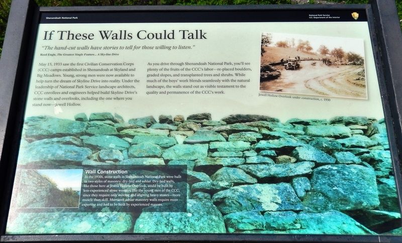
If These Walls Could Talk
Reed Engle, The Greatest Single Feature… A Sky-line Drive
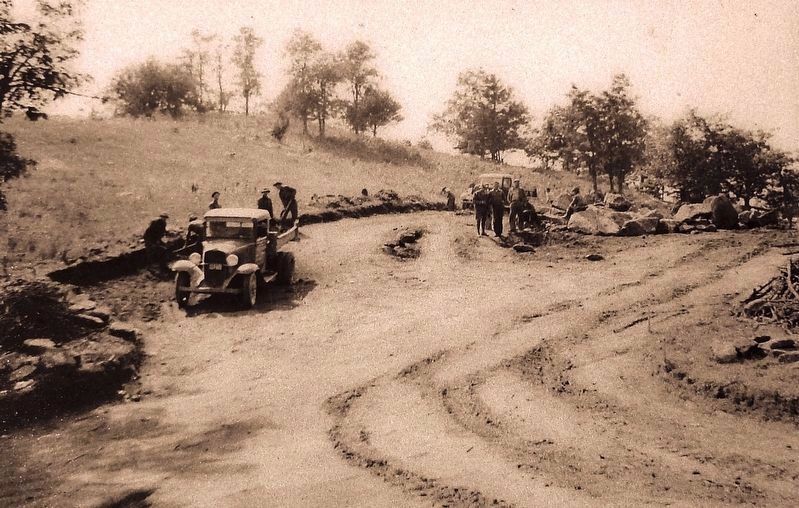
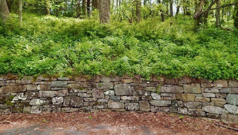
May 15, 1933 saw the first Civilian Conservation Corps (CCC) camps established in Shenandoah at Skyland and Big Meadows. Young, strong men were now available to help turn the dream of Skyline Drive into reality. Under the leadership of National Park Service landscape architects, CCC enrollees and engineers helped build Skyline Drive's stone walls and overlooks, including the one where you stand now—Jewell Hollow.
As you drive through Shenandoah National Park, you'll see plenty of the fruits of the CCC's labor—re-placed boulders, graded slopes, and transplanted trees and shrubs. While much of the boys' work blends seamlessly with the natural landscape, the walls stand out as visible testament to the quality and permanence of the CCC's work.
Wall Construction in the 1930s
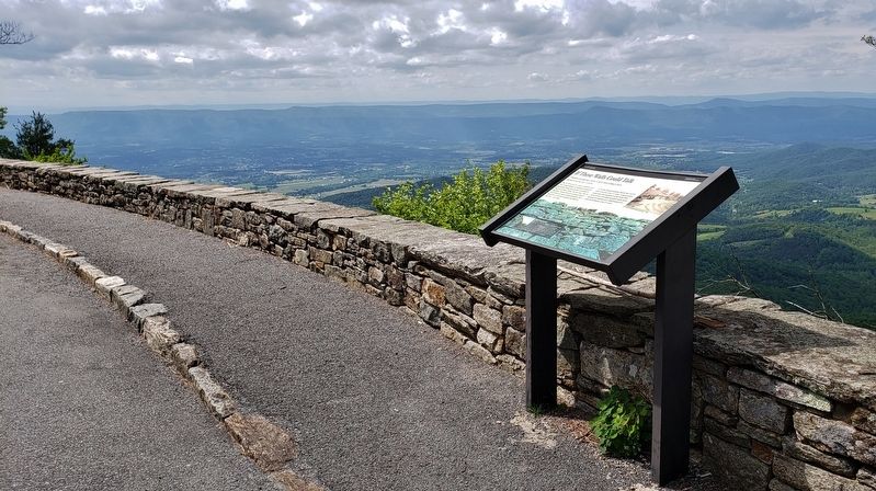
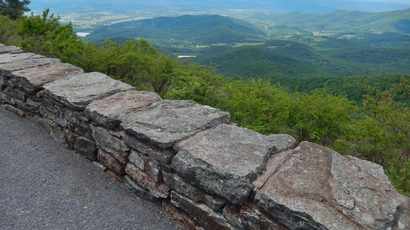
Stone walls in Shenandoah National Park were built in two styles of masonry: dry-laid and ashlar. Dry-laid walls, like those here at Jewell Hollow Overlook, could be built by less-experienced stone workers, like the young men of the CCC, since they require only moving and aligning heavy stones—more muscle than skill. Mortared ashlar masonry walls require more expertise and had to be built by experienced masons.
Erected by National Park Service, U.S. Department of the Interior.
Topics. This historical marker is listed in these topic lists: Charity & Public Work • Man-Made Features • Parks & Recreational Areas • Roads & Vehicles. A significant historical date for this entry is May 15, 1933.
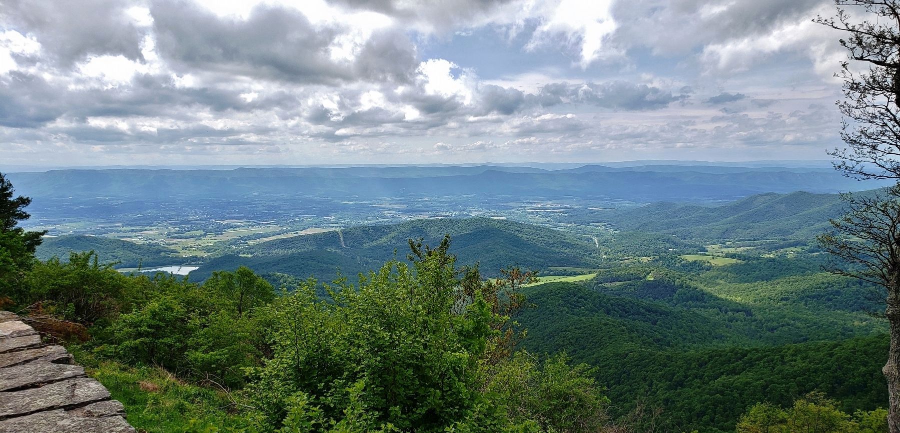
Location. 38° 37.626′ N, 78° 20.371′ W. Marker is near Luray, Virginia, in Page County. Marker can be reached from Skyline Drive (at milepost 36.5), 5 miles south of Lee Highway (U.S. 211), on the right when traveling south. Marker is located at the Jewell Hollow Overlook south parking lot, beside the rock wall, overlooking Luray, Virginia in the distance. Touch for map. Marker is in this post office area: Luray VA 22835, United States of America. Touch for directions.
Other nearby markers. At least 8 other markers are within 3 miles of this marker, measured as the crow flies. Civilian Conservation Corps (approx. 0.3 miles away); Old Rag (approx. 0.9 miles away); Old Man in the Mountain (approx. 1.6 miles away); Marys Rock Tunnel (approx. 2.3 miles away); Rocks Older than Mankind (approx. 2.3 miles away); Thornton Gap (approx. 2˝ miles away); The Greatest Single Feature (approx. 2˝ miles away); William Randolph Barbee (approx. 2˝ miles away). Touch for a list and map of all markers in Luray.
Also see . . . Civilian Conservation Corps in Shenandoah National Park. Between 1933 and 1942, 10 CCC camps were established within, or on leased land, adjacent to Shenandoah. At any one time, more than 1,000 boys and young men lived in these camps that were supervised by the Army. They worked on projects directed by the National Park Service and the Bureau of Public Roads. In its nine years of work, the CCC spent $109 million in Virginia, the fifth-largest state expenditure in the country. (Submitted on May 25, 2019, by Cosmos Mariner of Cape Canaveral, Florida.)
Credits. This page was last revised on March 28, 2020. It was originally submitted on May 25, 2019, by Cosmos Mariner of Cape Canaveral, Florida. This page has been viewed 425 times since then and 71 times this year. Last updated on February 13, 2020, by Linda Walcroft of Woodstock, Virginia. Photos: 1, 2, 3, 4, 5, 6. submitted on May 25, 2019, by Cosmos Mariner of Cape Canaveral, Florida. • J. Makali Bruton was the editor who published this page.
