Gunnison in Sanpete County, Utah — The American Mountains (Southwest)
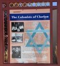
The Colonists of Clarion
Benjamin Brown recommended the Utah site for colonization to the other members of the Association and was the leader of the settlers in Clarion. The colonists raised wheat, alfalfa, and oats and kept chickens and cows on their forty-acre farms. The Association subsidized families with a weekly stipend to ease the transition from city to farm. At its high point, more than two hundred men, women and children lived in the colony and over 2,800 acres were under cultivation. Relations with local Mormon farmers were valuable for they helped the Jewish colonists gain experience in working the land and raising animals. But, tragedy marked the life of the Jewish colony. The Piute Canal failed to deliver promised water. Early and late frosts and heavy rainfall that flooded fields brought crop failures. A lack of experience aggravated natural calamities, and dissension rooted in ideology, missed expectations, and personality conflicts weakened morale. The deaths of two farmers and the loss of two babies further weakened the will to stay on the land. In 1915, the colony could not make payment on the land and the State of Utah foreclosed. Most colonists returned to their former homes in the eastern cities. Unwilling to give up on their dream, half a dozen Jewish families took up land near the Clarion tract and successfully farmed into the late 1920’s.
The hurdles to success on the land proved too high and the Jewish farmers could not sustain their experiment. Nor would they lead a movement of Jews back to the soil. Yet, their story is one of hope and determinations to better themselves and a people. That they failed is their history. That they dreamed and struggled against insurmountable odds is their legacy.
Images:
David Bernstein family just prior to their departure from New York for Utah.
Benjamin Brown and Isaac Herbst (on the right, respectively) reviewing the colony’s books.
Ida and Samuel Barak in Philadelphia
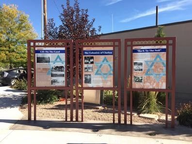
Erected by Jewish American Society for Historic Preservation, Mormon Pioneer National Heritage.
Topics. This historical marker is listed in this topic list: Settlements & Settlers. A significant historical year for this entry is 1915.
Location. 39° 9.285′ N, 111° 49.076′ W. Marker is in Gunnison, Utah, in Sanpete County. Marker is on East Center Street. Marker located in the City square of Gunnison, Utah. Touch for map. Marker is in this post office area: Gunnison UT 84634, United States of America. Touch for directions.
Other nearby markers. At least 8 other markers are within 6 miles of this marker, measured as the crow flies. “Back to the Soil” (here, next to this marker); Life on the Land (here, next to this marker); Casino / Star Theatre (about 300 feet away, measured in a direct line); Gunnison (approx. 0.3 miles away); First Public Buildings (approx. 2.3 miles away); Centerfield (approx. 2.3 miles away); Warm Creek-Fayette (approx. 5.2 miles away); ZCMI Co-op Building (approx. 5.3 miles away). Touch for a list and map of all markers in Gunnison.
Credits. This page was last revised on May 29, 2019. It was originally submitted on May 25, 2019, by Jerry Klinger of Boynton Beach, Florida. This page has been viewed 174 times since then and 13 times this year. Photos: 1, 2. submitted on May 25, 2019, by Jerry Klinger of Boynton Beach, Florida. • Bill Pfingsten was the editor who published this page.

