Providence Community, Holly Hill in Orangeburg County, South Carolina — The American South (South Atlantic)
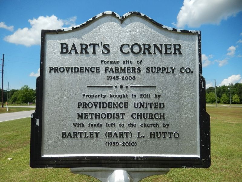
Bart's Corner
Providence Farmers Supply Co.
1945-2008
Property bought in 2011 by
Providence United Methodist Church
With funds left to the church by
Bartley (Bart) L. Hutto
(1959-2010)
Erected by Providence United Methodist Church.
Topics. This historical marker is listed in this topic list: Notable Places.
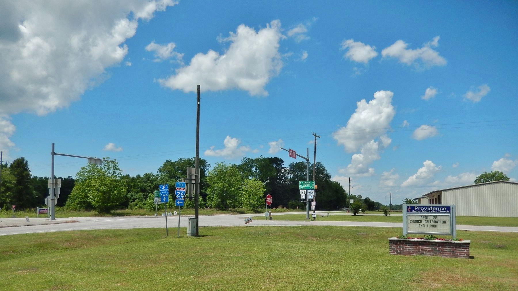
Location. 33° 23.543′ N, 80° 32.48′ W. Marker is in Providence Community, Holly Hill, South Carolina, in Orangeburg County. Marker is on Old State Road (U.S. 176) east of Vance Road (State Highway 210), on the right when traveling west. Marker overlooks the subject corner property. Touch for map. Marker is at or near this postal address: 4833 Old State Road, Holly Hill SC 29059, United States of America. Touch for directions.
Other nearby markers. At least 8 other markers are within 9 miles of this marker, measured as the crow flies. Providence Methodist Church (within shouting distance of this marker); Walnut Grove Church (approx. 5.1 miles away); Astronaut Frank L. Culbertson, Jr. (approx. 5.1 miles away); Target Methodist Church (approx. 6˝ miles away); Liberty Garden (approx. 8.2 miles away); Moorefield Memorial Highway (approx. 8.4 miles away); Shady Grove Camp Ground (approx. 8.6 miles away); Captain Richard A Morris (approx. 8.7 miles away).
Also see . . . Bart's Corner. Hutto owned land next to the church which was the site of Providence Farmers Supply Company, a company that opened during World War II. Hutto bequeathed $50,000 to the church, which it used to buy his adjacent property. The church then razed the vacant building and installed a historical marker to commemorate Hutto's generosity towards the church. (Submitted on May 26, 2019, by Cosmos Mariner of Cape Canaveral, Florida.)
Credits. This page was last revised on May 26, 2019. It was originally submitted on May 26, 2019, by Cosmos Mariner of Cape Canaveral, Florida. This page has been viewed 254 times since then and 24 times this year. Photos: 1, 2, 3. submitted on May 26, 2019, by Cosmos Mariner of Cape Canaveral, Florida.


