Downtown in Roanoke, Virginia — The American South (Mid-Atlantic)
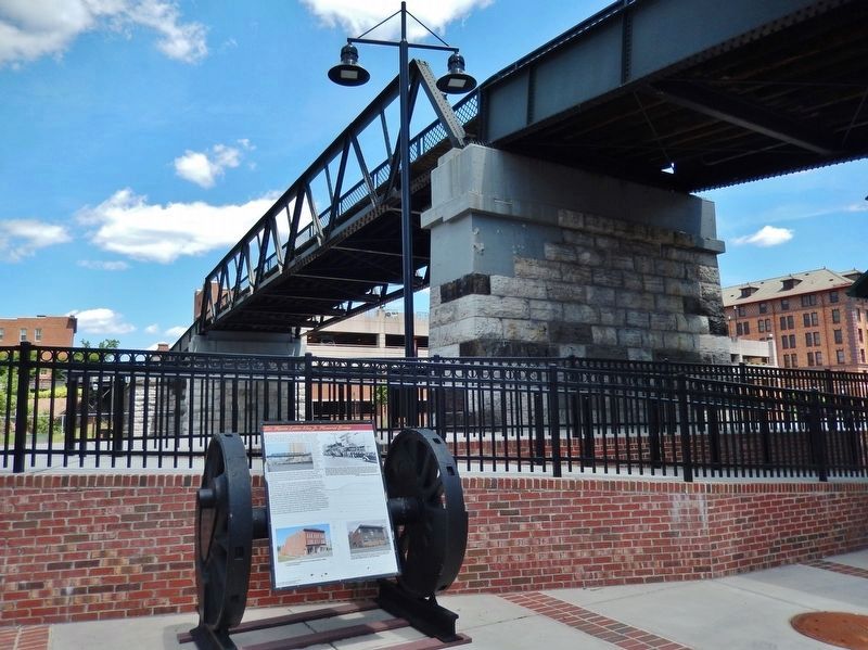
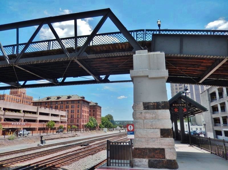
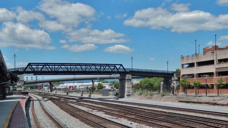
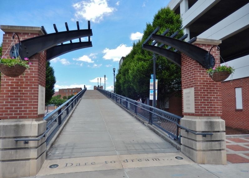
Dr. Martin Luther King Jr. Memorial Bridge
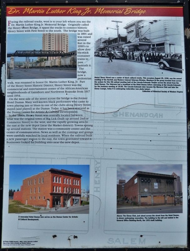
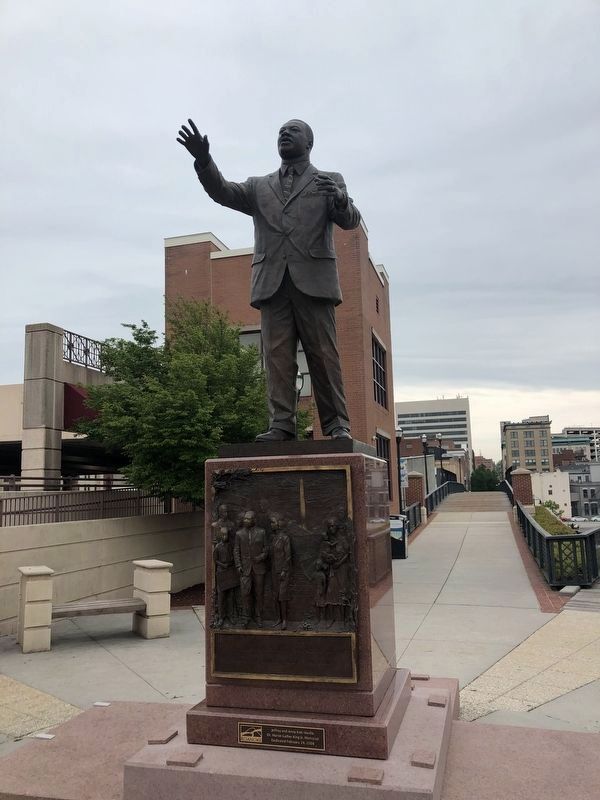
The bridge, now a pedestrian walk, was renamed to honor Dr. Martin Luther King, Jr. Part of the Henry Street Historic District, Henry Street was the commercial and entertainment center of the African-American neighborhoods of Gainsboro and Northwest Roanoke from 1917 until 1954.
On the west side of the street across the bridge is the former Hotel Dumas. Many well-known black performers who came to town playing jazz or blues in one of the clubs along Henry Street stayed (and played) at the Dumas. Today, it has been restored as the Dumas Center for Artistic & Cultural Development.
In the 1880s, Henry Street was centrally located between what was the original town of Big Lick (built up around 2nd or Commerce Street) to the west, and the rapidly growing area to the east at the new depot (near the Market district). Towns sprang up around stations. The station was a community center and the center of communication. News as well as the comings and goings were carefully watched by local residents. When the railroad built a new passenger station to the east, the town gravitated toward it. Businesses looked for building sites near the new depot.
All Photos ©2006 Kenneth L. Miller, unless otherwise credited
Map is from 1930 by Norfolk and Western Railway
Panel Design and Content by Miller Design & Photography ©2006
Topics and series. This historical marker is listed in these topic lists: African Americans • Bridges & Viaducts • Civil Rights • Railroads & Streetcars. In addition, it is included in the Martin Luther King, Jr. series list.
Location. 37° 16.395′ N, 79° 56.546′ W. Marker is in Roanoke, Virginia. It is in Downtown. Marker is on Norfolk Avenue Southwest north of 1st Street Southwest, on the left when traveling east. Marker is located along the Roanoke Railside Linear Walk, beside the subject bridge. Touch for map. Marker is at or near this postal address: 109 Norfolk Avenue Southwest, Roanoke VA 24011, United States of America. Touch for directions.
Other nearby markers. At least 8 other markers are within walking distance of this marker. Atlantic, Mississippi and Ohio Railroad Depot (about 300 feet away, measured in a direct line); Norfolk & Western General Office Building (about 500 feet away); Oscar Micheaux (about 500 feet away); N.W. Pugh & Co.
(about 500 feet away); North Jefferson Street (about 500 feet away); Commerce or Second Street Crossing (about 500 feet away); Giles Brothers Furniture Co. (about 600 feet away); N&W General Office Building-South (about 600 feet away). Touch for a list and map of all markers in Roanoke.
Related markers. Click here for a list of markers that are related to this marker. Henry Street Business District
Credits. This page was last revised on February 1, 2023. It was originally submitted on May 30, 2019, by Cosmos Mariner of Cape Canaveral, Florida. This page has been viewed 588 times since then and 77 times this year. Photos: 1, 2, 3. submitted on May 31, 2019, by Cosmos Mariner of Cape Canaveral, Florida. 4. submitted on April 30, 2021, by Devry Becker Jones of Washington, District of Columbia. 5, 6. submitted on May 31, 2019, by Cosmos Mariner of Cape Canaveral, Florida.
