State College in Centre County, Pennsylvania — The American Northeast (Mid-Atlantic)
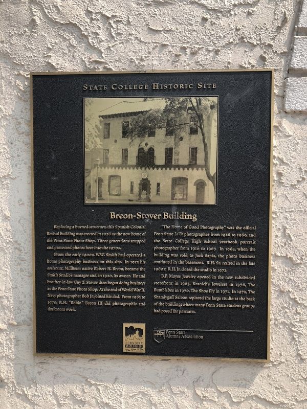
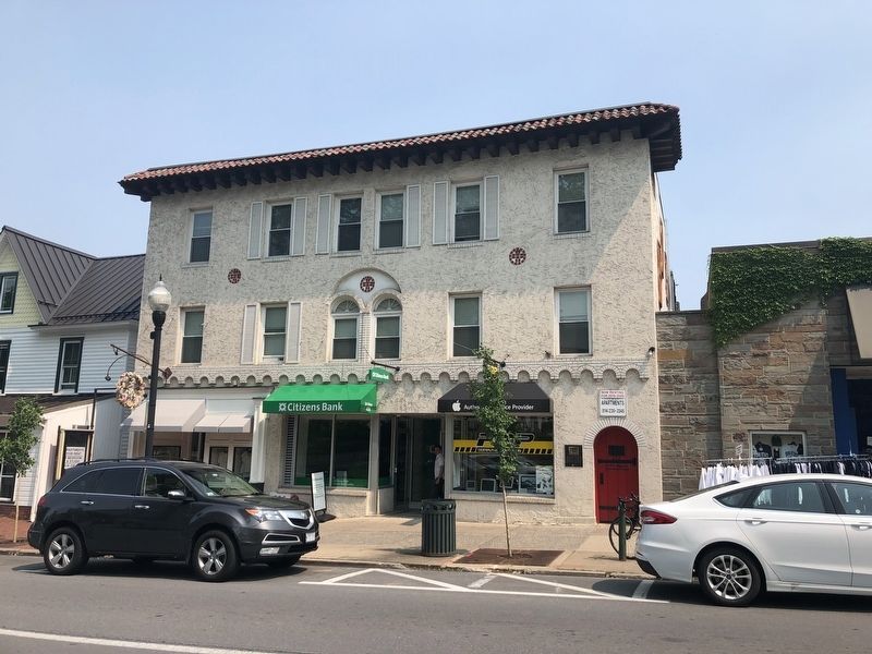
Breon-Stover Building
State College Historic Site
From the early 1900s, W.W. Smith had operated a home photography business on this site. In 1917, his assistant, Millheim native Robert H. Breon, became the Smith Studio's manager and, in 1920, its owner. He and brother-in-law Guy Z. Stover then began doing business as the Penn State Photo Shop. At the end of World War II, Navy photographer Bob Jr. joined his dad. From 1963 to 1970, R.H. "Robin" Breon III did photographic and darkroom work.
"The Home of Good Photography" was the official Penn State LaVie photographer from 1928 to 1969, and the State College High School yearbook portrait photographer from 1916 to 1967. In 1964, when the building was sold to Jack Sapia, the photo business continued in the basement. R.H. Sr. retired in the late 1960s; R.H. Jr. closed the studio in 1972.
B.P. Moyer Jewelry opened in the new subdivided storefront in 1965, Kranich's Jewelers in 1976, The Bumblebee in 1970, The Shoe Fly in 1971. In 1972, The Shandygaff Saloon replaced the large studio at the back of the building, where many Penn State student groups had posed for portraits.
Erected by Downtown State College; Penn State Alumni Association.
Topics and series. This historical marker is listed in these topic lists: Arts, Letters, Music • Education • Industry & Commerce. In addition, it is included in the Pennsylvania State University series list. A significant historical year for this entry is 1926.
Location. 40° 47.732′ N, 77° 51.596′ W. Marker is in State College, Pennsylvania, in Centre County. Marker is on East College Avenue (Route 26) east of South Pugh Street, on the left when traveling west. Touch for map. Marker is at or near this postal address: 216 East College Avenue, State College PA 16801, United States of America. Touch for directions.
Other nearby markers. At least 8 other markers are within walking distance of this marker. The Foster / Gentzel Building (within shouting distance of this marker); Campus View Apartments / Schlow Building (about 500 feet away, measured in a direct line); American Elms (about 600 feet away); Hotel State College (about 600 feet away); The Bent of Tau Beta Pi (about 700 feet away); Old Engineering (about 700 feet away); Pattee Mall American Elms (about 700 feet away); Industry Research (about 700 feet away). Touch for a list and map of all markers in State College.
Credits. This page was last revised on June 1, 2019. It was originally submitted on June 1, 2019, by Devry Becker Jones of Washington, District of Columbia. This page has been viewed 271 times since then and 10 times this year. Photos: 1, 2. submitted on June 1, 2019, by Devry Becker Jones of Washington, District of Columbia.

