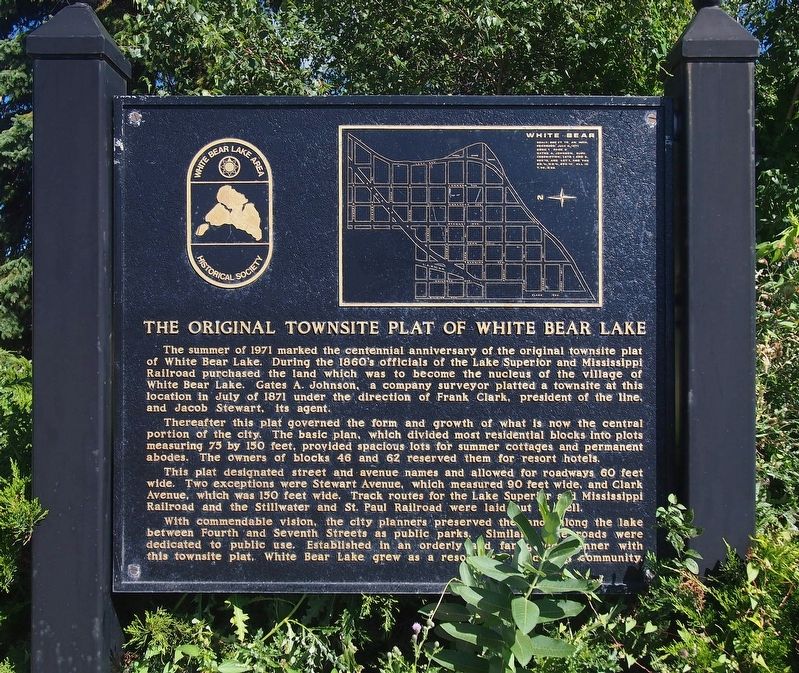
The Original Townsite Plat of White Bear Lake
Thereafter this plat governed the form and growth of what is now the central portion of the city. The basic plan, which divided most residential blocks into plots measuring 75 by 150 feet, provided spacious lots for summer cottages and permanent abodes. The owners of blocks 46 and 62 reserved them for resort hotels.
This plat designated street and avenue names and allowed for roadways 60 feet wide. Two exceptions were Stewart Avenue, which measured 90 feet wide, and Clark Avenue, which was 150 feet wide. Track routes for the Lake Superior and Mississippi Railroad and the Stillwater and St. Paul Railroad were laid out as well.
With commendable vision, the city planners preserved the lands along the lake between Fourth and Seventh Streets as public parks. Similarly, the roads were dedicated to public use. Established in an orderly and farsighted manner with this townsite plat, White Bear
Lake grew as a resort and residential community.Erected 1971 by White Bear Lake Area Historical Society.
Topics. This historical marker is listed in this topic list: Settlements & Settlers. A significant historical year for this entry is 1871.
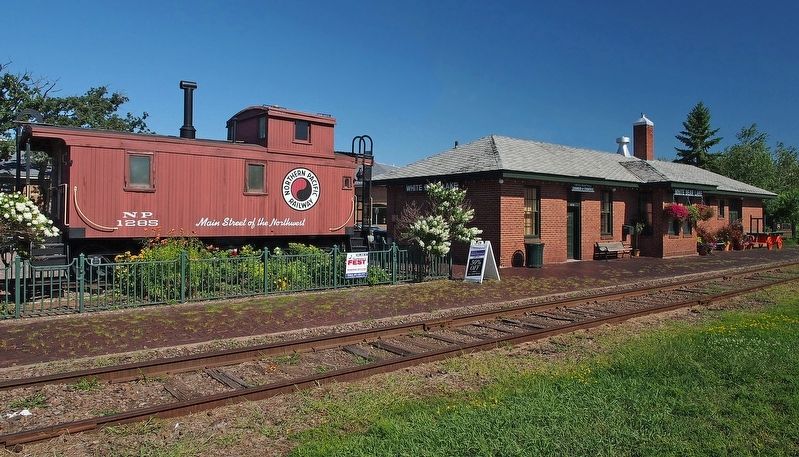
Location. 45° 5.101′ N, 93° 0.621′ W. Marker is in White Bear Lake, Minnesota, in Ramsey County. Marker is on U.S. 61 south of 4th Street, on the right when traveling south. On the north end of the White Bear Lake Depot. Touch for map. Marker is at or near this postal address: 4751 Highway 61 N, Saint Paul MN 55110, United States of America. Touch for directions.
Other nearby markers. At least 8 other markers are within 7 miles of this marker, measured as the crow flies. Fillebrown House (approx. 0.4 miles away); Who Were the Area's First Inhabitants? (approx. 2.1 miles away); From Rails to Trails (approx. 5.4 miles away); Building Railroads (approx. 5.4 miles away); Gervais Grist Mill (approx. 5˝ miles away); Ramsey County Cemetery (approx. 5.8 miles away); Building the "Skally" (approx. 6.2 miles away); A History of Change (approx. 6.2 miles away). Touch for a list and map of all markers in White Bear Lake.
Credits. This page was last revised on June 5, 2019. It was originally submitted on February 3, 2019, by McGhiever of Minneapolis, Minnesota. This page has been viewed 261 times since then and 15 times this year. Last updated on June 5, 2019, by McGhiever of Minneapolis, Minnesota. Photos: 1, 2. submitted on February 3, 2019, by McGhiever of Minneapolis, Minnesota. • Andrew Ruppenstein was the editor who published this page.

