Mackinaw City in Emmet County, Michigan — The American Midwest (Great Lakes)
Missionaries at Mackinac
Mackinaw City Historical Pathway
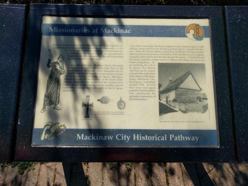
Roman Catholicism came to the Straits of Mackinac through the self-sacrificing efforts of seventeenth-century Jesuit Missionaries. In 1670 Father Jacques Marquette established a mission for Huron Indians on Mackinac Island. An agriculturally-based tribe, the Huron found the thin soil of Mackinac Island unsuitable for their crops.
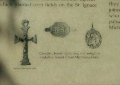
A year after settling on Mackinac Island, Marquette moved his mission to the more fertile land on the north shore of the Straits. Here, Marquette and Father Claude Dablon founded the permanent mission of St. Ignatius Loyola (today, St. Ignace, Michigan,) named in honor of the founder of the Jesuit order. Nearby, the Jesuits also established the mission of St. Francis Borgia to the Ottawa Indians, another agricultural tribe which planted corn fields on the St. Ignace peninsula.
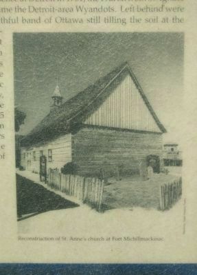
A fur trade community developed adjacent to the missions and by 1690 soldiers constructed Fort Du Buade to protect French commercial interests. When the French military closed Fort Du Buade and later reestablished a Great Lakes presence at Detroit in 1701, the Huron from St. Ignace migrated south and became the Detroit-area Wyandots. Left behind were the Jesuits and their faithful band of Ottawa still tilling the soil at the Straits of Mackinac. After depleting the soil at St. Ignace, the Ottawa and their Jesuit priests moved to the south shore of the Straits of Mackinaw (today Mackinaw City, Michigan,) sometime around 1708. In 1715 they were once again joined by French soldiers who constructed the palisaded community of Michilimackinac. (Marker Number 37.)
Topics. This historical marker is listed in these topic lists: Churches & Religion • Colonial Era • Forts and Castles • Native Americans. A significant historical year for this entry is 1670.
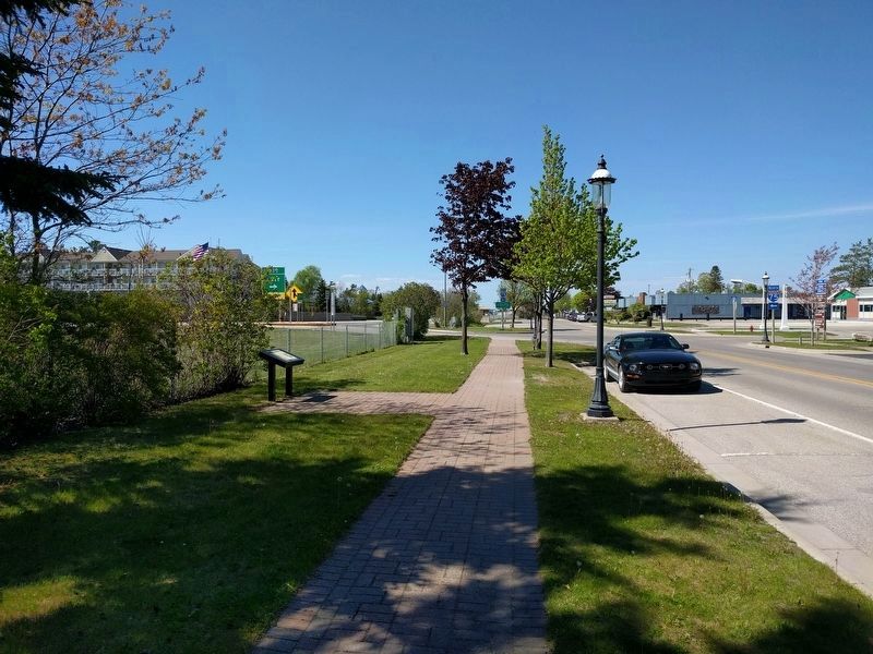
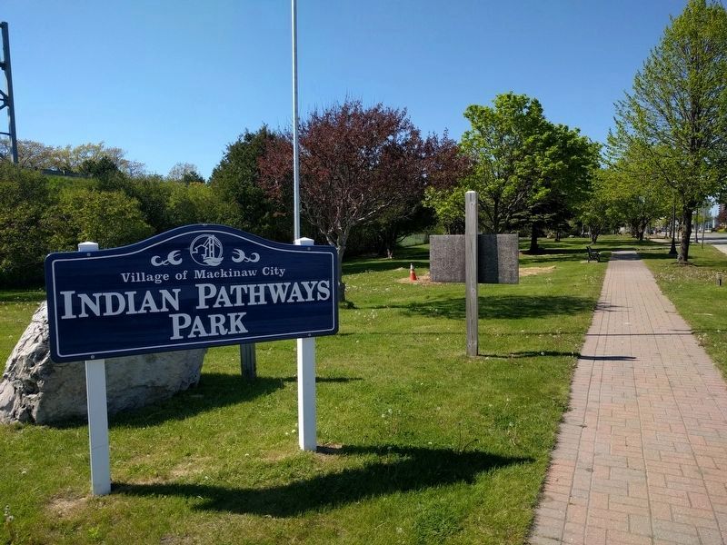
Location. 45° 47.003′ N, 84° 43.946′ W. Marker is in Mackinaw City, Michigan, in Emmet County. Marker is on North Nicolet Street north of East Etherington Street, on the left when traveling north. Marker is in Indian Pathways Park. Touch for map. Marker is in this post office area: Mackinaw City MI 49701, United States of America. Touch for directions.
Other nearby markers. At least 8 other markers are within walking distance of this marker. Indians at the Straits (about 300 feet away, measured in a direct line); British Colonial Farm 1774 - 1780 (about 600 feet away); Hattie Stimpson 1875-1948 (about 700 feet away); Warrior Stone (approx. 0.2 miles away); French House Ruin, 1765 - 1781 (approx. 0.2 miles away); French House Ruin, 1765-1781 (approx. 0.2 miles away); Tourism at Mackinac (approx. 0.2 miles away); Fort Michilimackinac (approx. 0.2 miles away). Touch for a list and map of all markers in Mackinaw City.
Also see . . .
1. Jacques Marquette
. Wikipedia article (Submitted on June 10, 2019, by Joel Seewald of Madison Heights, Michigan.)
2. Claude Dablon. Wikipedia article (Submitted on June 10, 2019, by Joel Seewald of Madison Heights, Michigan.)
3. Fort de Buade. Wikipedia article (Submitted on June 10, 2019, by Joel Seewald of Madison Heights, Michigan.)
Credits. This page was last revised on June 10, 2019. It was originally submitted on June 10, 2019, by Joel Seewald of Madison Heights, Michigan. This page has been viewed 331 times since then and 37 times this year. Photos: 1, 2, 3, 4, 5, 6. submitted on June 10, 2019, by Joel Seewald of Madison Heights, Michigan.
