Near Harrison in Sioux County, Nebraska — The American Midwest (Upper Plains)
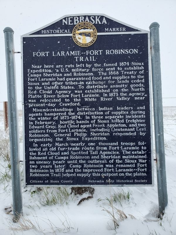
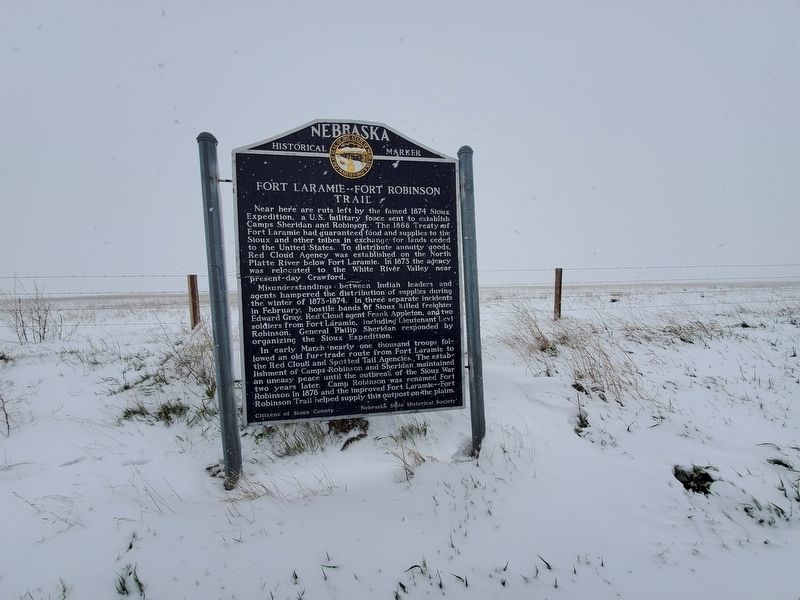
Fort Laramie - Fort Robinson Trail
Misunderstandings between Indian leaders and agents hampered the distribution of supplies during the winter of 1873-1874. In three separate incidents in February, hostile bands of Sioux killed freighter Edward Gray, Red Cloud agent Frank Appleton, and two soldiers from Fort Laramie, including Lieutenant Levi Robinson. General Philip Sheridan responded by organizing the Sioux Expedition.
In early March nearly one thousand troops followed an old fur-trade route from Fort Laramie to the Red Cloud and Spotted Tail Agencies. The establishment of Camps Robinson and Sheridan maintained an uneasy peace until the outbreak of the Sioux War two years later. Camp Robinson was renamed Fort Robinson in 1878 and the improved Fort Laramie--Fort Robinson Trail helped supply this outpost on the plains.
Erected by Citizens of Sioux County & Nebraska State Historical Society. (Marker Number 158.)
Topics and series. This historical marker is listed in these topic lists: Native Americans • Roads & Vehicles • Wars, US Indian. In addition, it is included in the Nebraska State Historical Society series list. A significant historical month for this entry is March 1874.
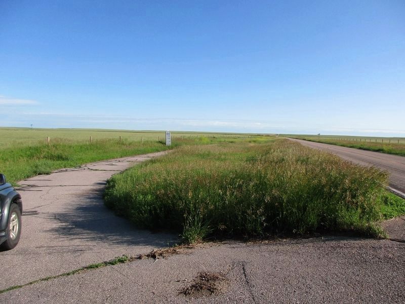
Location. Marker has been reported missing. It was located near 42° 35.278′ N, 103° 50.049′ W. Marker was near Harrison, Nebraska, in Sioux County. Marker was on State Highway 29, 0.4 miles south of Evergreen Road, on the right when traveling south. Touch for map. Marker was in this post office area: Harrison NE 69346, United States of America. Touch for directions.
Other nearby markers. At least 8 other markers are within 13 miles of this location, measured as the crow flies. Village of Harrison (approx. 7˝ miles away); Daemonelix (approx. 11.2 miles away); A Slice Through Time (approx. 11.2 miles away); Agate Springs Ranch (approx. 11˝ miles away); Guests from Pine Ridge (approx. 11˝ miles away); Two Cultures, One Land (approx. 11˝ miles away); Coffee Siding (approx. 11˝ miles away); Bone Cabin (approx. 12.3 miles away). Touch for a list and map of all markers in Harrison.
Credits. This page was last revised on July 9, 2023. It was originally submitted on June 10, 2019, by Brian Anderson of Humble, Texas. This page has been viewed 211 times since then and 24 times this year. Photos: 1, 2. submitted on June 10, 2019, by Brian Anderson of Humble, Texas. 3. submitted on July 8, 2023, by Jeff Leichsenring of Garland, Texas.


